MyTopo
Borden Lake Minnesota US Topo Map
Couldn't load pickup availability
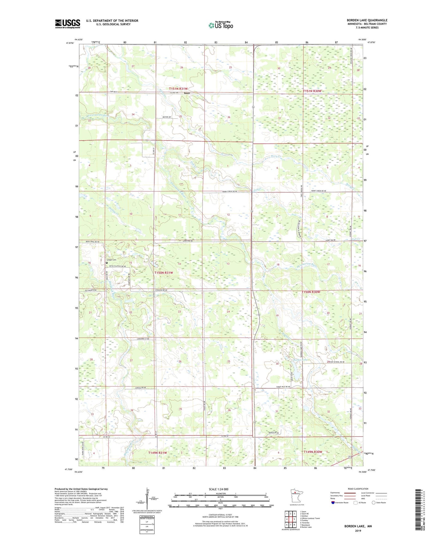
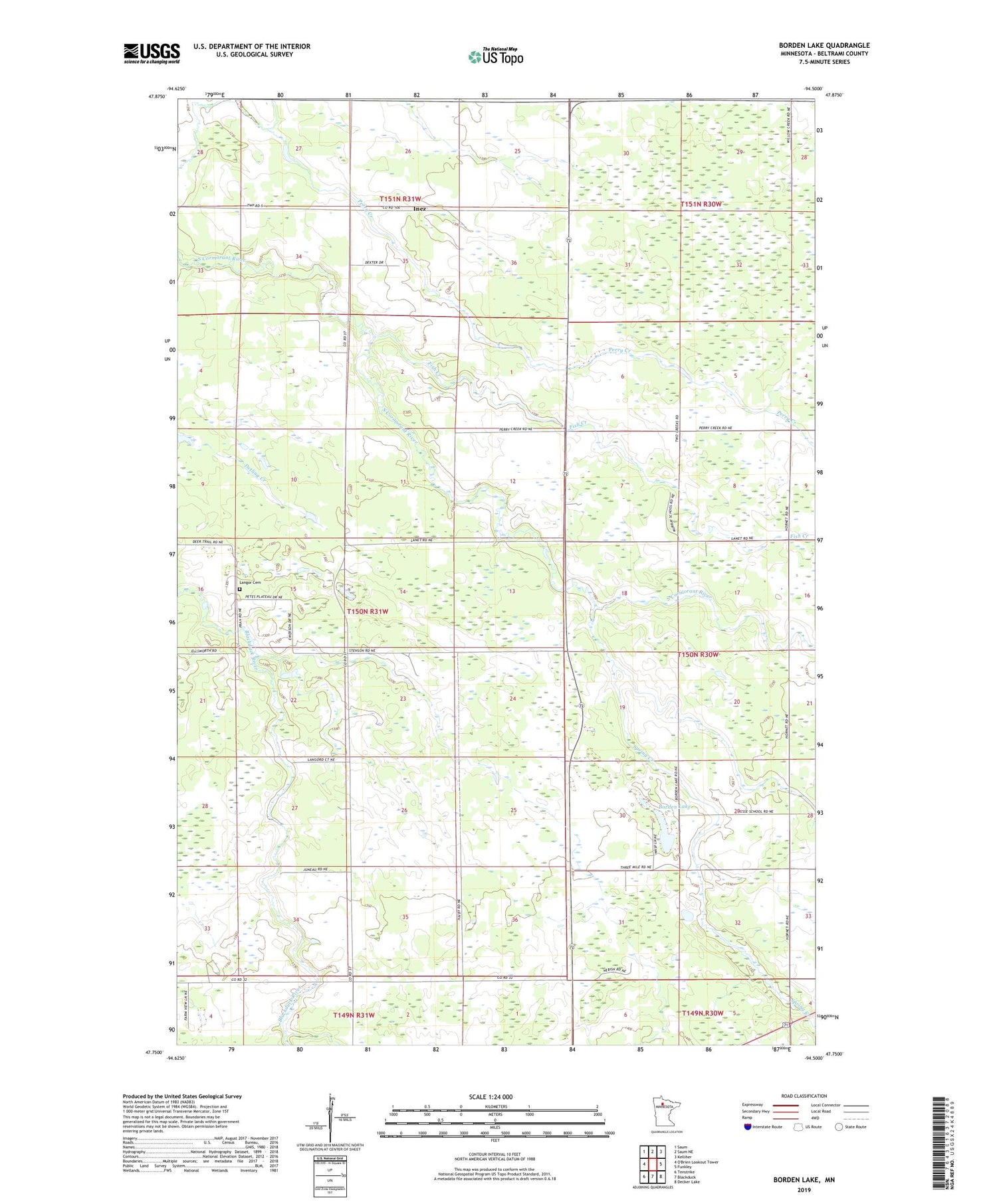
2019 topographic map quadrangle Borden Lake in the state of Minnesota. Scale: 1:24000. Based on the newly updated USGS 7.5' US Topo map series, this map is in the following counties: Beltrami. The map contains contour data, water features, and other items you are used to seeing on USGS maps, but also has updated roads and other features. This is the next generation of topographic maps. Printed on high-quality waterproof paper with UV fade-resistant inks.
Quads adjacent to this one:
Northwest: Saum
North: Saum NE
Northeast: Kelliher
East: Funkley
Southeast: Decker Lake
South: Blackduck
Southwest: Tenstrike
Contains the following named places: Borden Lake, Cormant Church, Fish Creek, Inez, Inez Post Office, Langor, Langor Cemetery, Langor Post Office, Spring Creek, Township of Langor