MyTopo
Isabella Minnesota US Topo Map
Couldn't load pickup availability
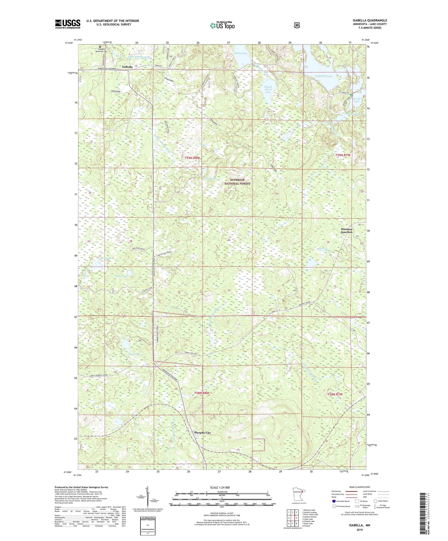
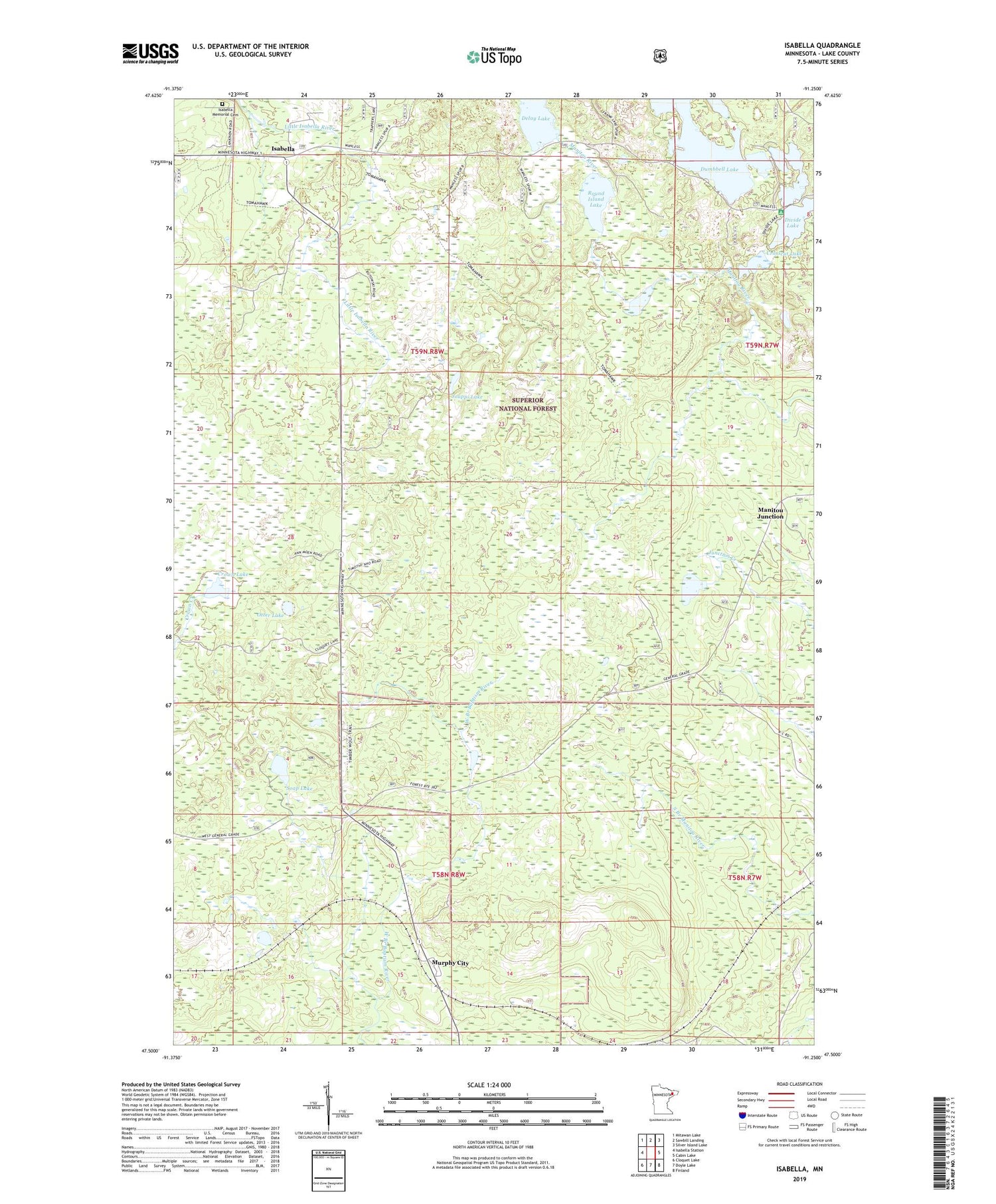
2019 topographic map quadrangle Isabella in the state of Minnesota. Scale: 1:24000. Based on the newly updated USGS 7.5' US Topo map series, this map is in the following counties: Lake. The map contains contour data, water features, and other items you are used to seeing on USGS maps, but also has updated roads and other features. This is the next generation of topographic maps. Printed on high-quality waterproof paper with UV fade-resistant inks.
Quads adjacent to this one:
West: Isabella Station
Northwest: Mitawan Lake
North: Sawbill Landing
Northeast: Silver Island Lake
East: Cabin Lake
Southeast: Finland
South: Doyle Lake
Southwest: Cloquet Lake
Contains the following named places: Baptism Crossing, Crosscut Lake, Crown Lake, Delay Lake, Divide Lake, Divide Lake Campground, Dumbbell Lake, Dumbell Lake Picnic Area, Isabella, Isabella Memorial Cemetery, Isabella Post Office, Isabella School, Isabella Union Chapel, Jouppi Lake, Manitou Junction, Murphy City, Otter Lake, Round Island Lake, Soap Lake, Tanner Lake, ZIP Code: 55603