MyTopo
Pigeon Point OE N Minnesota US Topo Map
Couldn't load pickup availability
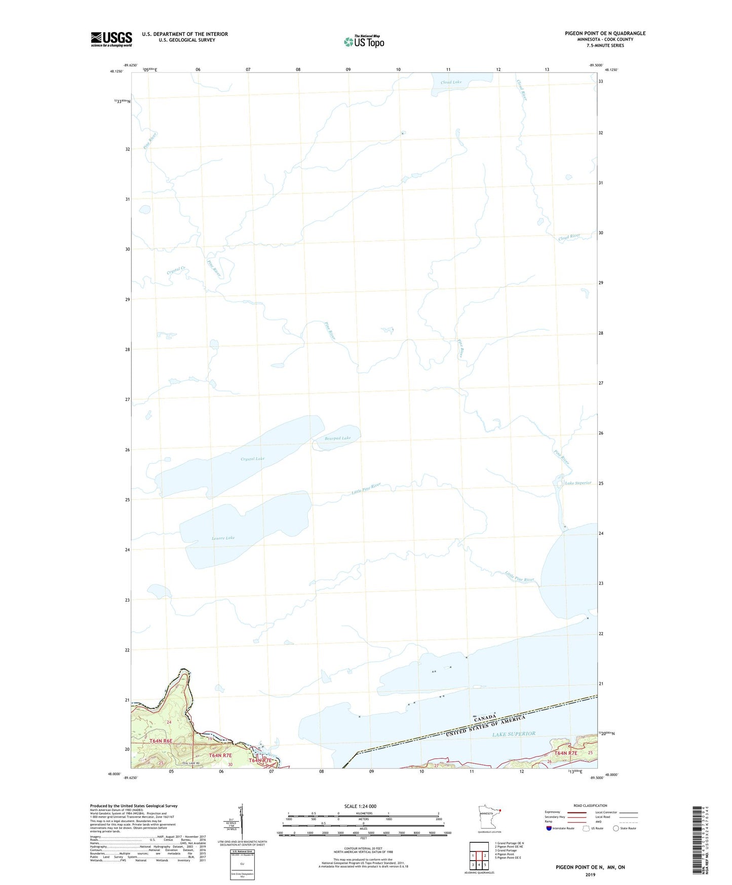
2019 topographic map quadrangle Pigeon Point OE N in the state of Minnesota. Scale: 1:24000. Based on the newly updated USGS 7.5' US Topo map series, this map is in the following counties: Cook. The map contains contour data, water features, and other items you are used to seeing on USGS maps, but also has updated roads and other features. This is the next generation of topographic maps. Printed on high-quality waterproof paper with UV fade-resistant inks.
Quads adjacent to this one:
West: Grand Portage OE N
East: Pigeon Point OE NE
Southeast: Pigeon Point OE E
South: Pigeon Point
Southwest: Grand Portage
Contains the following named places: Grand Portage State Park, Little Portage Bay, Middle Falls, Minnesota's Northern Border Historical Marker, Pigeon Bay, Pigeon Falls, The Hole in the Wall, The Narrows