MyTopo
Beatrice Mississippi US Topo Map
Couldn't load pickup availability
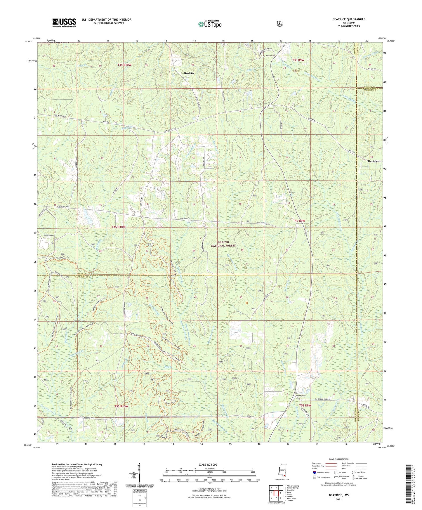
2021 topographic map quadrangle Beatrice in the state of Mississippi. Scale: 1:24000. Based on the newly updated USGS 7.5' US Topo map series, this map is in the following counties: Stone, Harrison, Jackson, George. The map contains contour data, water features, and other items you are used to seeing on USGS maps, but also has updated roads and other features. This is the next generation of topographic maps. Printed on high-quality waterproof paper with UV fade-resistant inks.
Quads adjacent to this one:
West: Airey
Northwest: Whites Crossing
North: Ramsey Springs
Northeast: Benndale
East: Vestry
Southeast: Latimer
South: White Plains
Southwest: Success
Contains the following named places: Beatrice, Beaver Dam Branch, Bethel Church, Bigfoot Creek, Bridge Branch, Broadus Cemetery, Bud Branch, Butt Head Branch, Dantzler, Fallen Oak Golf Club, Little Creek Church, Little Railroad Creek, Merts Bond Lake Dam, Ramsey Cemetery, Ramsey Chapel, Ramsey Creek Church, Raymond Branch, Red Creek State Wildlife Management Area, University Lookout Tower, Walker Cemetery