MyTopo
Dentville Mississippi US Topo Map
Couldn't load pickup availability
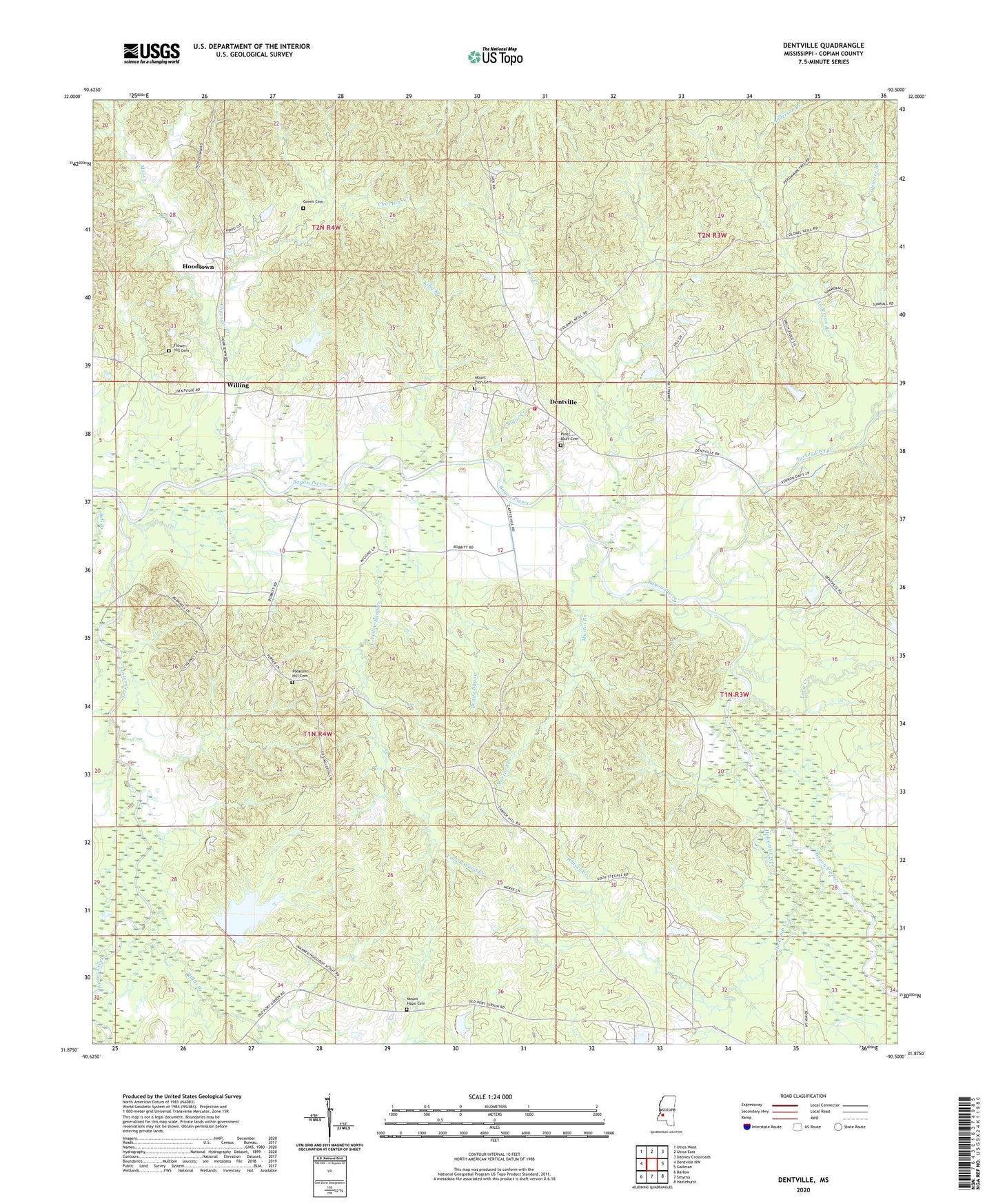
2020 topographic map quadrangle Dentville in the state of Mississippi. Scale: 1:24000. Based on the newly updated USGS 7.5' US Topo map series, this map is in the following counties: Copiah. The map contains contour data, water features, and other items you are used to seeing on USGS maps, but also has updated roads and other features. This is the next generation of topographic maps. Printed on high-quality waterproof paper with UV fade-resistant inks.
Quads adjacent to this one:
West: Dentville NW
Northwest: Utica West
North: Utica East
Northeast: Dabney Crossroads
East: Gallman
Southeast: Hazlehurst
South: Smyrna
Southwest: Barlow
Contains the following named places: Anderson Branch, Andrew Jackson Boy Scout Lake Dam, Bell Branch, Boggy Bayou, Causey Lake, Choctaw Creek, Dentville, Dentville Volunteer Fire Department, Dry Creek, Fair View Church, Flower Hill Cemetery, Foster Creek, Green Cemetery, Halls Creek, Holcomb Creek, Hoodtown, Horsepen Creek, King Branch, Latimore Branch, Long Creek, Martin Branch, Mill Creek, Mount Hope Cemetery, Mount Washington Post Office, Mount Zion Cemetery, New Mount Zion Church, Pine Bluff Baptist Church, Pine Bluff Cemetery, Pleasant Hill Baptist Church, Pleasant Hill Cemetery, Pleasant Ridge Church, Sugar Creek, Supervisor District 4, Turkey Creek, Whisky Creek, Willing, Yellow Sand Creek