MyTopo
Del Bonita Montana US Topo Map
Couldn't load pickup availability
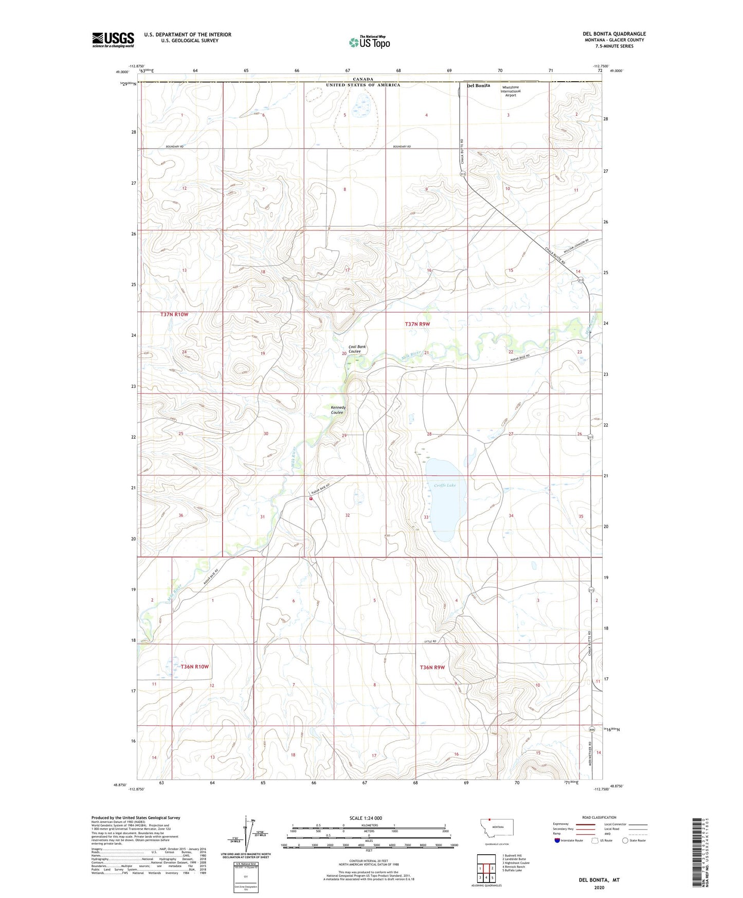
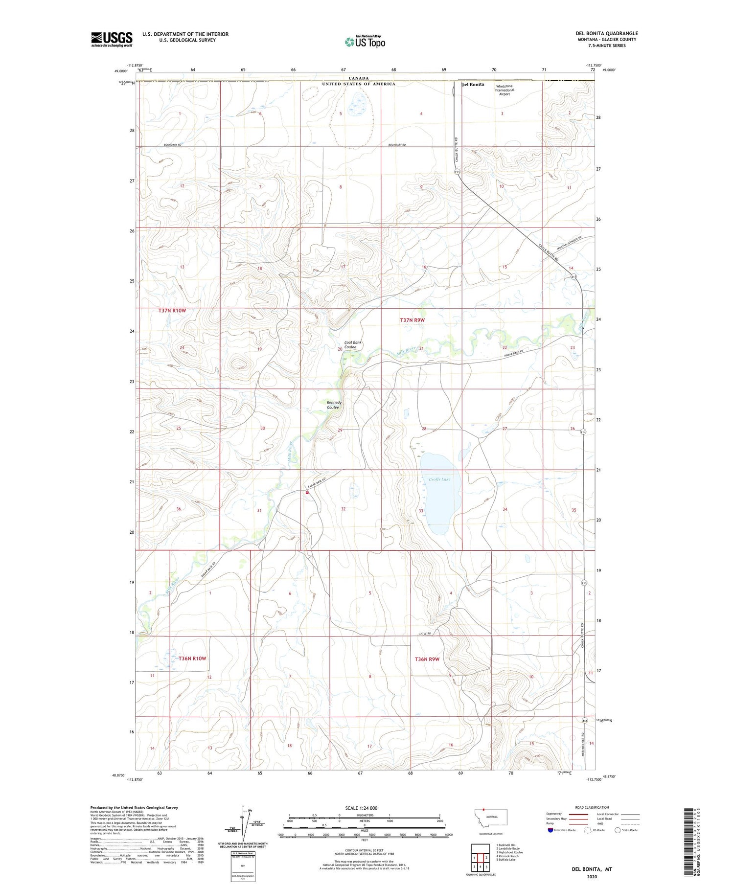
2020 topographic map quadrangle Del Bonita in the state of Montana. Scale: 1:24000. Based on the newly updated USGS 7.5' US Topo map series, this map is in the following counties: Glacier. The map contains contour data, water features, and other items you are used to seeing on USGS maps, but also has updated roads and other features. This is the next generation of topographic maps. Printed on high-quality waterproof paper with UV fade-resistant inks.
Quads adjacent to this one:
West: Bushnell Hill
East: Landslide Butte
Southeast: Buffalo Lake
South: Rimrock Ranch
Southwest: Nightshoot Coulee
Contains the following named places: 37N09W17BAA_01 Well, Coal Bank Coulee, Croff Wren School, Croffs Lake, Cut Bank Air Force Station, Del Bonita, Del Bonita Post Office, Del Bonita Volunteer Fire Company, Kennedy Coulee, Port of Del Bonita, United States Customs and Border Protection Del Bonita Port of Entry, Whetstone International Airport