MyTopo
Emma Butte Montana US Topo Map
Couldn't load pickup availability
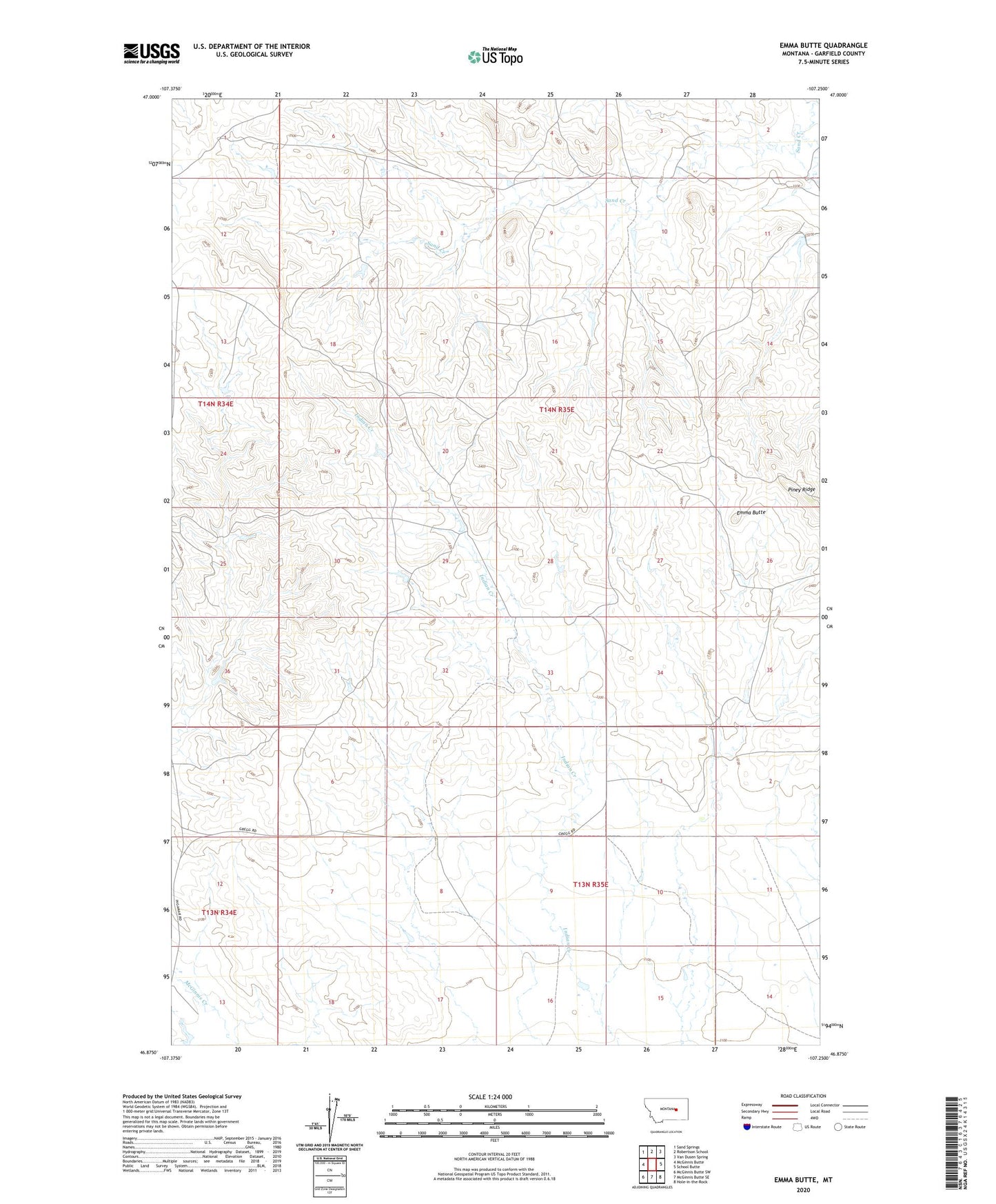
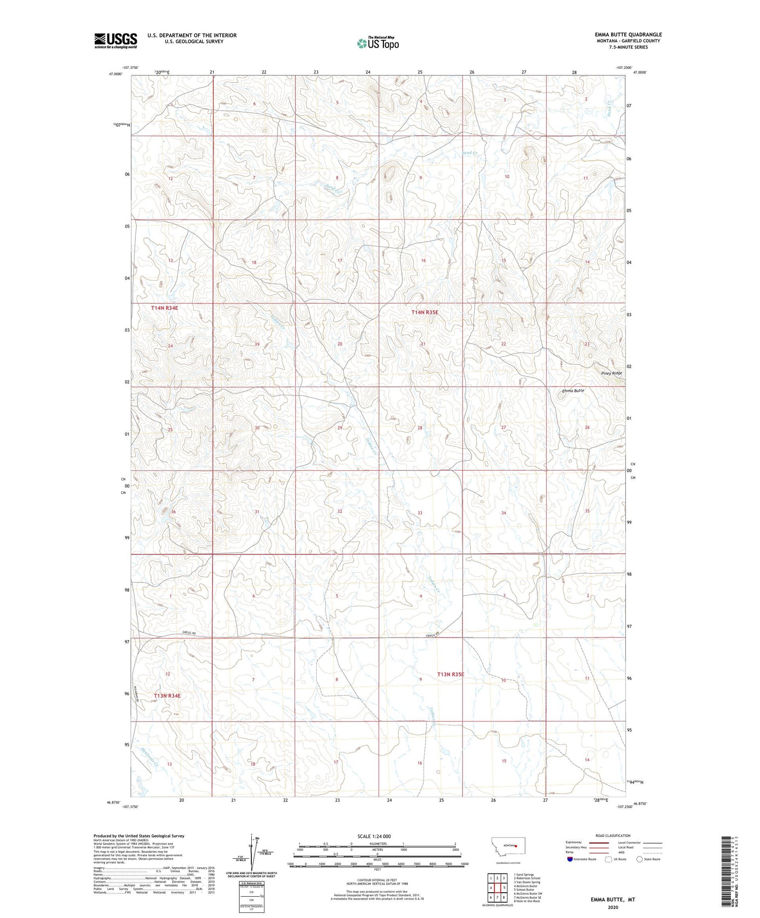
2020 topographic map quadrangle Emma Butte in the state of Montana. Scale: 1:24000. Based on the newly updated USGS 7.5' US Topo map series, this map is in the following counties: Garfield. The map contains contour data, water features, and other items you are used to seeing on USGS maps, but also has updated roads and other features. This is the next generation of topographic maps. Printed on high-quality waterproof paper with UV fade-resistant inks.
Quads adjacent to this one:
West: McGinnis Butte
Northwest: Sand Springs
North: Robertson School
Northeast: Van Dusen Spring
East: School Butte
Southeast: Hole-in-the-Rock
South: McGinnis Butte SE
Southwest: McGinnis Butte SW
Contains the following named places: Brunelda, Brunelda Post Office, Brunelda School, Emma Butte, Gregg Number 1 Dam, Indian Creek School, Montana Number 28 Dam, Piney Ridge, Severson Number 4 Dam