MyTopo
Wolf Prairie Montana US Topo Map
Couldn't load pickup availability
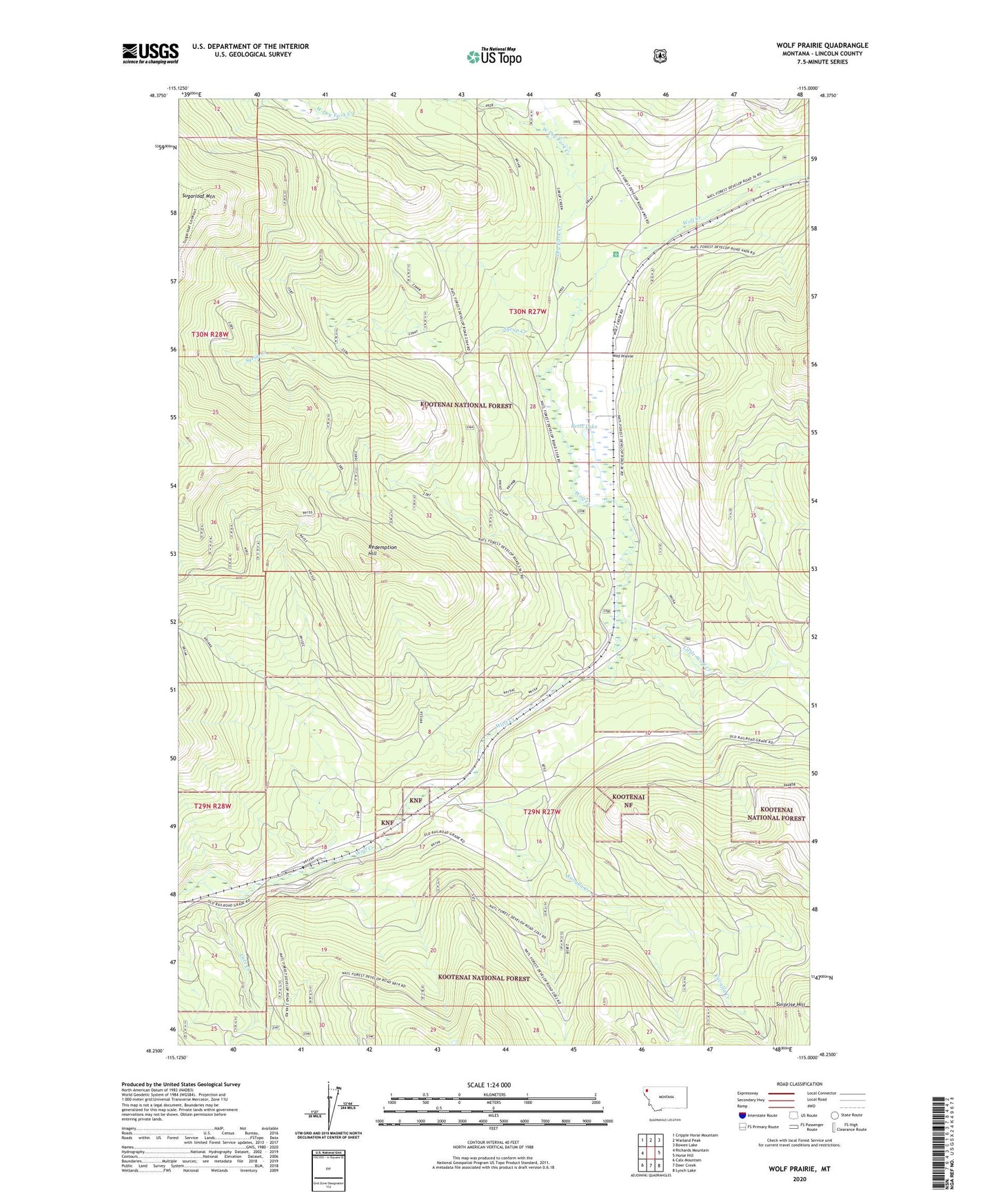
2020 topographic map quadrangle Wolf Prairie in the state of Montana. Scale: 1:24000. Based on the newly updated USGS 7.5' US Topo map series, this map is in the following counties: Lincoln. The map contains contour data, water features, and other items you are used to seeing on USGS maps, but also has updated roads and other features. This is the next generation of topographic maps. Printed on high-quality waterproof paper with UV fade-resistant inks.
Quads adjacent to this one:
West: Richards Mountain
Northwest: Cripple Horse Mountain
North: Warland Peak
Northeast: Bowen Lake
East: Horse Hill
Southeast: Lynch Lake
South: Deer Creek
Southwest: Calx Mountain
Contains the following named places: Atlanta, Atlanta Post Office, Betts Lake, Calx Creek, Dry Fork Creek, Fairview Guard Station, French Ranch, Kavalla Creek, Little Wolf Creek, Redemption Hill, Strad Beck Mine, Sugarloaf Mountain, Syrup Creek, Tamarack Creek, West Dry Fork Creek, Wolf Prairie