MyTopo
Chambers East Nebraska US Topo Map
Couldn't load pickup availability
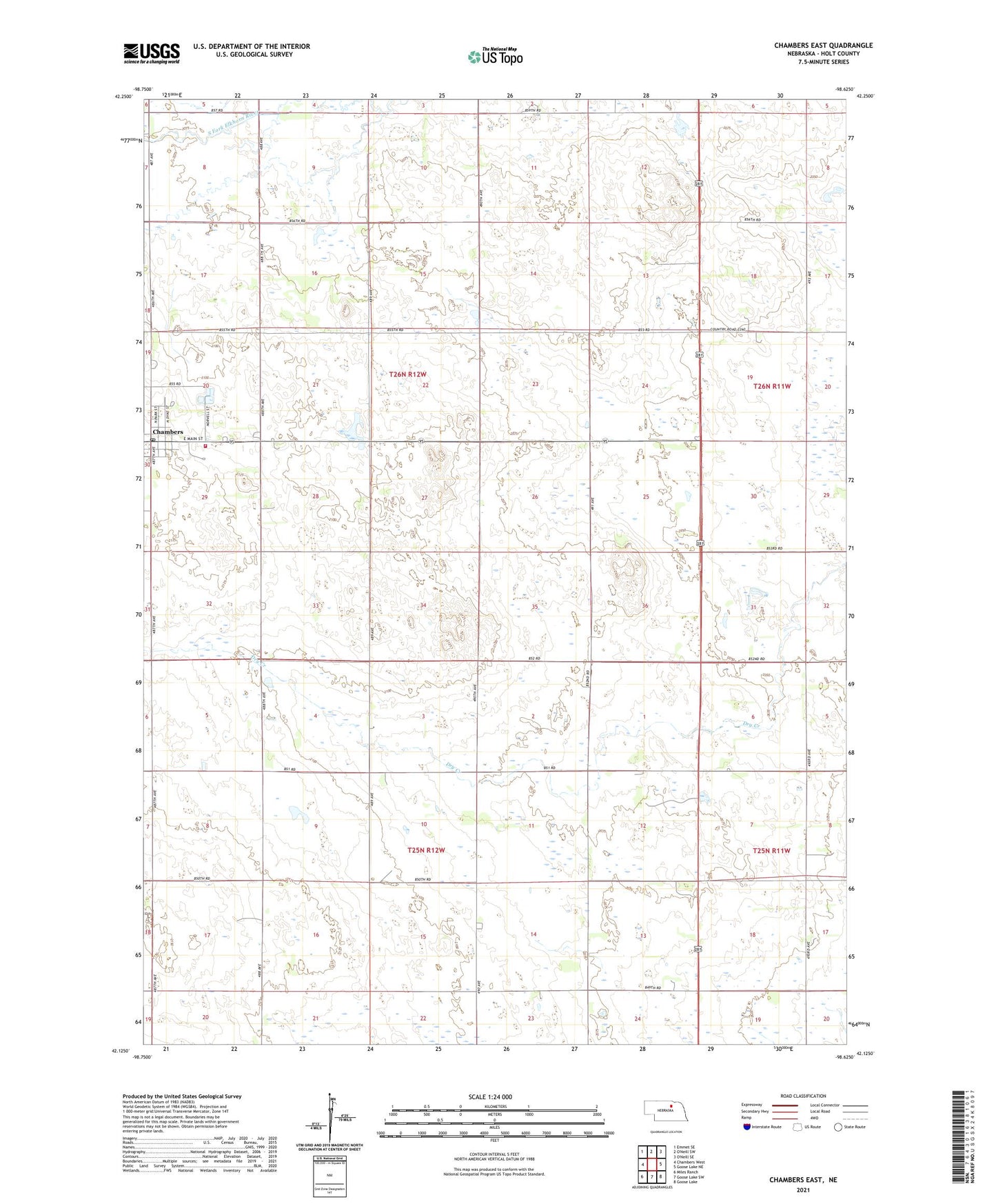
2021 topographic map quadrangle Chambers East in the state of Nebraska. Scale: 1:24000. Based on the newly updated USGS 7.5' US Topo map series, this map is in the following counties: Holt. The map contains contour data, water features, and other items you are used to seeing on USGS maps, but also has updated roads and other features. This is the next generation of topographic maps. Printed on high-quality waterproof paper with UV fade-resistant inks.
Quads adjacent to this one:
West: Chambers West
Northwest: Emmet SE
East: Goose Lake NE
Southeast: Goose Lake
South: Goose Lake SW
Southwest: Miles Ranch
Contains the following named places: Chambers, Chambers City Police Department, Chambers Clinic, Chambers Post Office, Chambers Volunteer Fire and Rescue, Memorial Baptist Church, Methodist Church, Perkins Memorial Airpark, Perkins Memorial Park, Saint Pauls Lutheran Church, Village of Chambers