MyTopo
Hollinger Nebraska US Topo Map
Couldn't load pickup availability
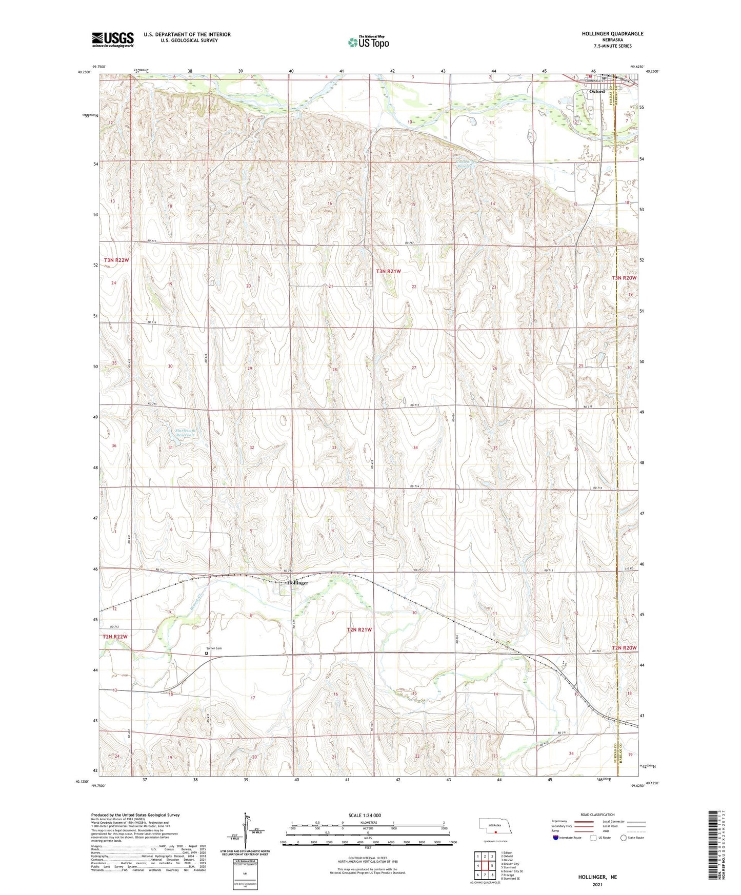
2021 topographic map quadrangle Hollinger in the state of Nebraska. Scale: 1:24000. Based on the newly updated USGS 7.5' US Topo map series, this map is in the following counties: Furnas, Harlan. The map contains contour data, water features, and other items you are used to seeing on USGS maps, but also has updated roads and other features. This is the next generation of topographic maps. Printed on high-quality waterproof paper with UV fade-resistant inks.
Quads adjacent to this one:
West: Beaver City
Northwest: Edison
North: Oxford
Northeast: Mascot
East: Stamford
Southeast: Stamford SE
South: Precept
Southwest: Beaver City SE
Contains the following named places: Ag Valley Cooperative Elevator, Cadwalder Dam, Cadwalder Reservoir, George R Mitchell RV Park, Hollinger, Hollinger Post Office, Oxford, Oxford Election Precinct, Oxford Post Office, Oxford Volunteer Fire and Rescue Department, Southern Valley Junior/Senior High School, Sturtevant Dam, Sturtevant Reservoir, Township of Lincoln, Township of Oxford, Turkey Creek, Turner Cemetery