
MyTopo
Lisco Nebraska US Topo Map
Couldn't load pickup availability
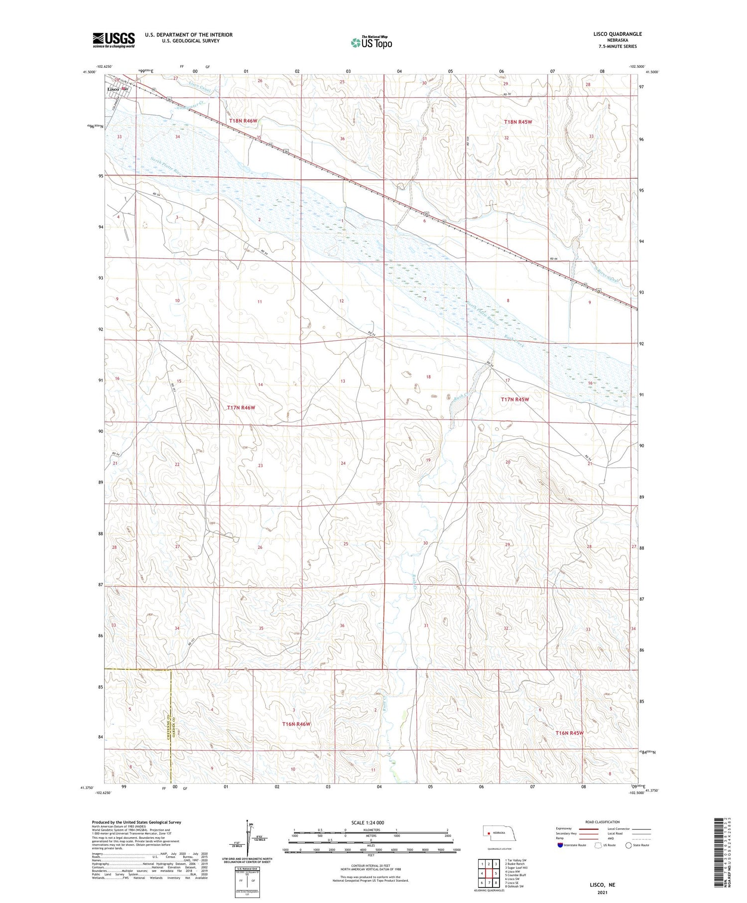
2021 topographic map quadrangle Lisco in the state of Nebraska. Scale: 1:24000. Based on the newly updated USGS 7.5' US Topo map series, this map is in the following counties: Garden, Cheyenne. The map contains contour data, water features, and other items you are used to seeing on USGS maps, but also has updated roads and other features. This is the next generation of topographic maps. Printed on high-quality waterproof paper with UV fade-resistant inks.
Quads adjacent to this one:
West: Lisco NW
Northwest: Tar Valley SW
North: Buske Ranch
Northeast: Sugar Loaf Hill
East: Coumbe Bluff
Southeast: Oshkosh SW
South: Lisco SE
Southwest: Lisco SW
Contains the following named places: Balka Group Dam, Balka Group Reservoir, Coldwater Creek, Coldwater Trailer Court, Lisco, Lisco Canal, Lisco Census Designated Place, Lisco Elevator Incorporated Elevator, Lisco Post Office, Lisco Presbyterian Church, Lisco Public Library, Lisco Public School, Lisco Volunteer Fire Department, Lytle, North River Canal, Rush Creek, Saint Galls Church


