MyTopo
Logan Nebraska US Topo Map
Couldn't load pickup availability
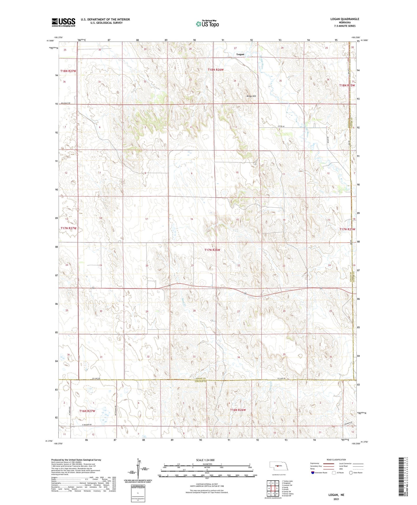
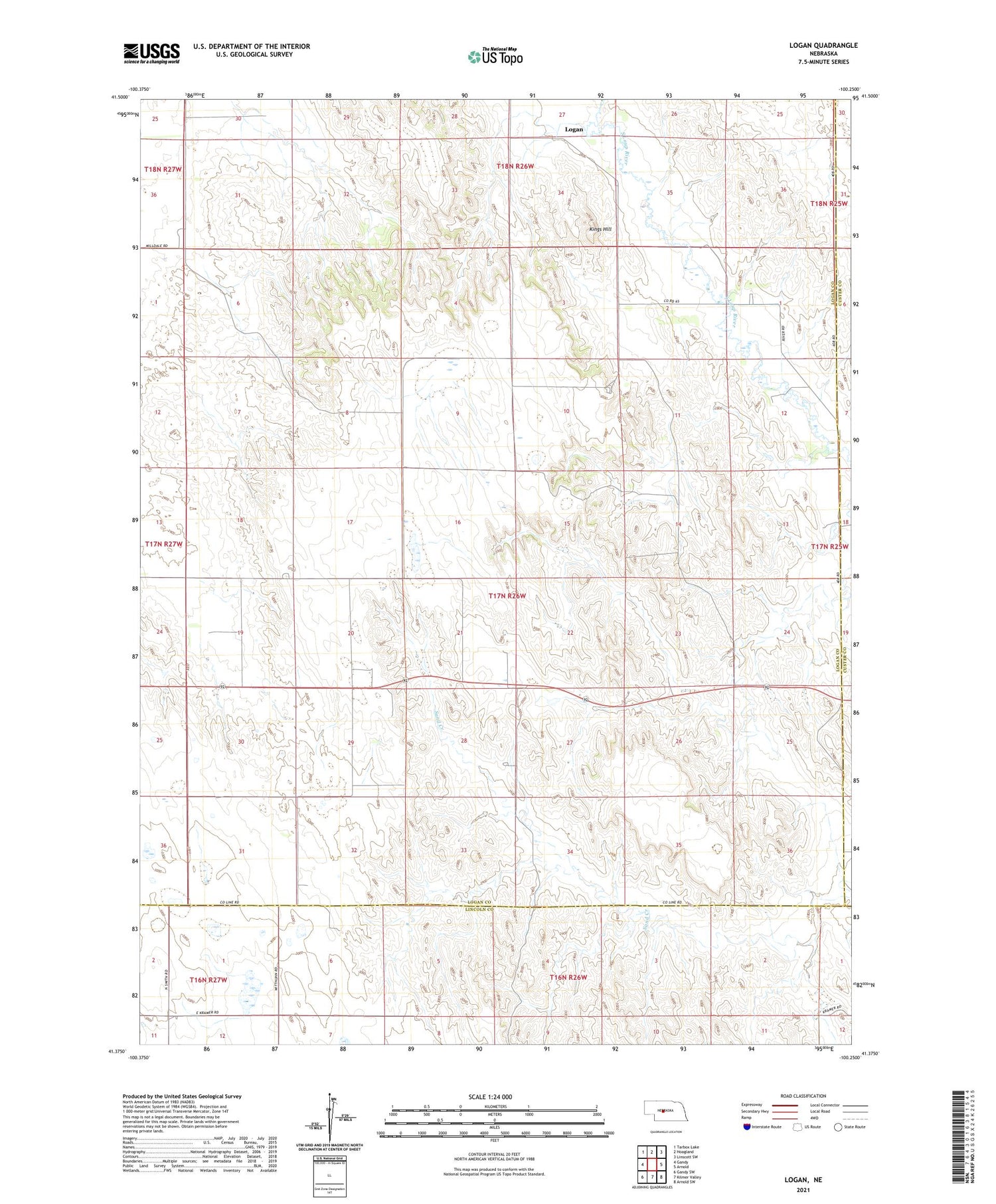
2021 topographic map quadrangle Logan in the state of Nebraska. Scale: 1:24000. Based on the newly updated USGS 7.5' US Topo map series, this map is in the following counties: Logan, Lincoln, Custer. The map contains contour data, water features, and other items you are used to seeing on USGS maps, but also has updated roads and other features. This is the next generation of topographic maps. Printed on high-quality waterproof paper with UV fade-resistant inks.
Quads adjacent to this one:
West: Gandy
Northwest: Tarbox Lake
North: Hoagland
Northeast: Linscott SW
East: Arnold
Southeast: Arnold SW
South: Kilmer Valley
Southwest: Gandy SW
Contains the following named places: Bailey Ranch, Kings Hill, Logan, Logan Post Office, Marr Ranch