MyTopo
Mud Springs SW Nebraska US Topo Map
Couldn't load pickup availability
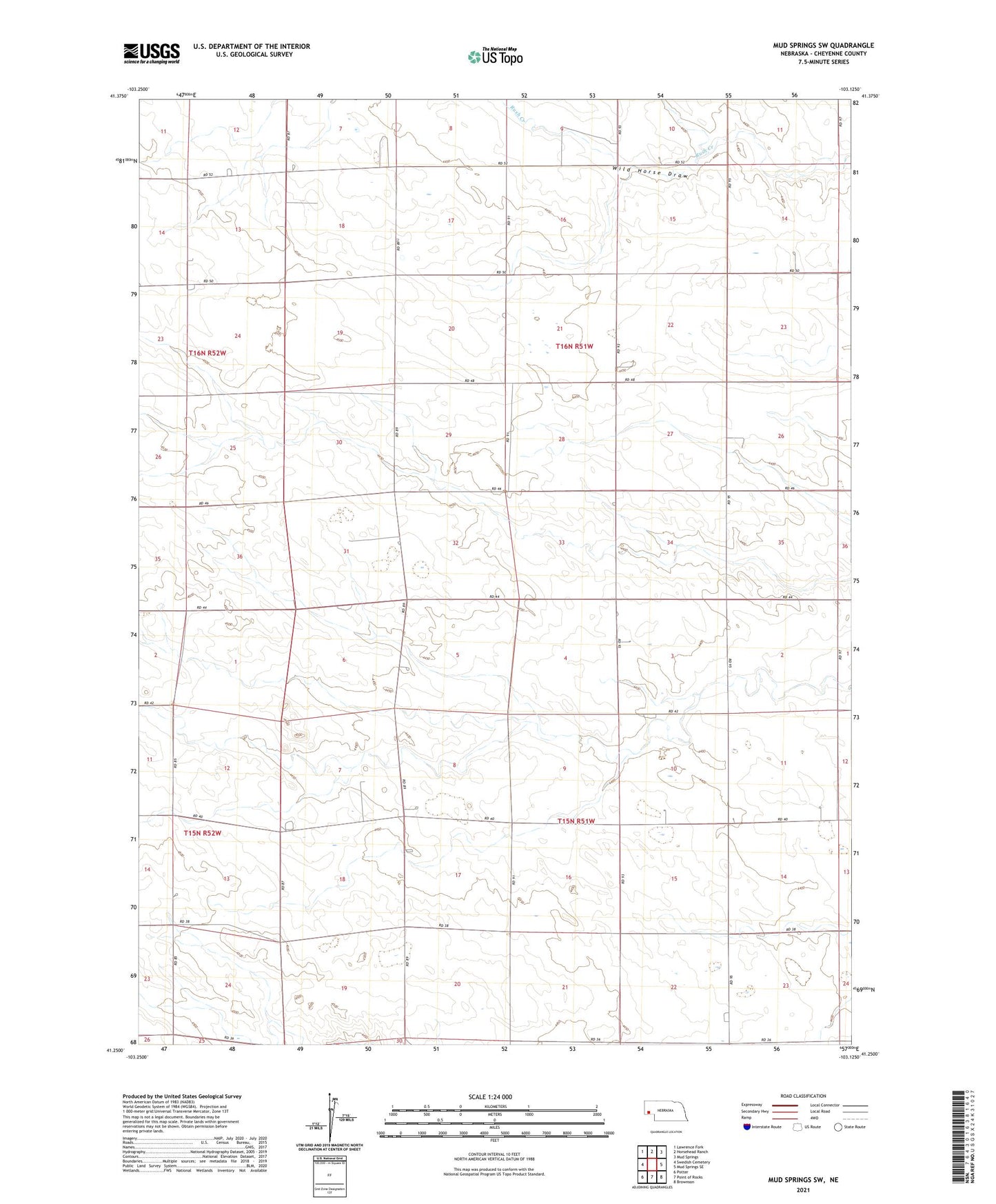
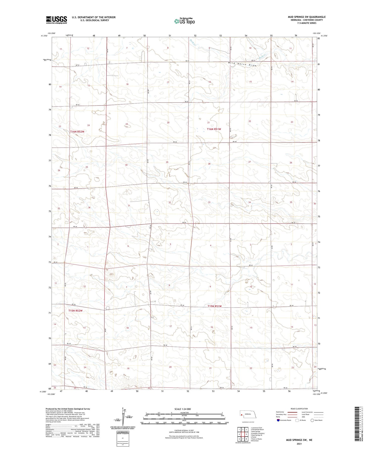
2021 topographic map quadrangle Mud Springs SW in the state of Nebraska. Scale: 1:24000. Based on the newly updated USGS 7.5' US Topo map series, this map is in the following counties: Cheyenne. The map contains contour data, water features, and other items you are used to seeing on USGS maps, but also has updated roads and other features. This is the next generation of topographic maps. Printed on high-quality waterproof paper with UV fade-resistant inks.
Quads adjacent to this one:
Northwest: Lawrence Fork
North: Horsehead Ranch
Northeast: Mud Springs
East: Mud Springs SE
Southeast: Brownson
South: Point of Rocks
Southwest: Potter
Contains the following named places: Saint Pauls Church, Seventh Day Adventist Church, Wild Horse Draw