
MyTopo
Parks Nebraska US Topo Map
Couldn't load pickup availability
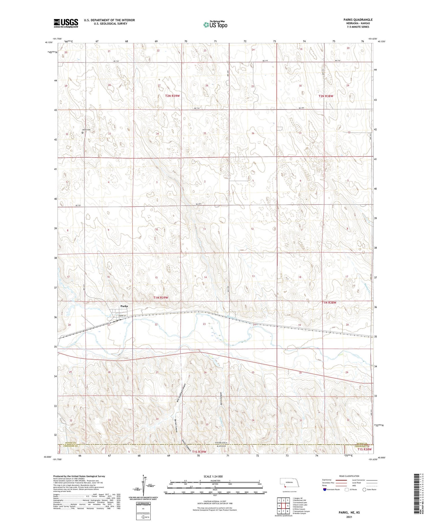
2021 topographic map quadrangle Parks in the state of Nebraska. Scale: 1:24000. Based on the newly updated USGS 7.5' US Topo map series, this map is in the following counties: Dundy, Cheyenne. The map contains contour data, water features, and other items you are used to seeing on USGS maps, but also has updated roads and other features. This is the next generation of topographic maps. Printed on high-quality waterproof paper with UV fade-resistant inks.
Quads adjacent to this one:
West: Rock Creek Lake
Northwest: Haigler NE
North: Benkelman NW
Northeast: Arrowhead Lake
East: Benkelman
Southeast: Henkle Canyon
South: Heinzelman Canyon
Southwest: White Canyon
Contains the following named places: Barlett Canyon, Horse Creek, Jarvis Canyon, Nesbit Creek, Parks, Parks Cemetery, Parks Census Designated Place, Parks Elevator, Parks Post Office, Rock Creek, Smutz Canyon, Union School, Will Stafford Canyon


