MyTopo
Wauneta East Nebraska US Topo Map
Couldn't load pickup availability
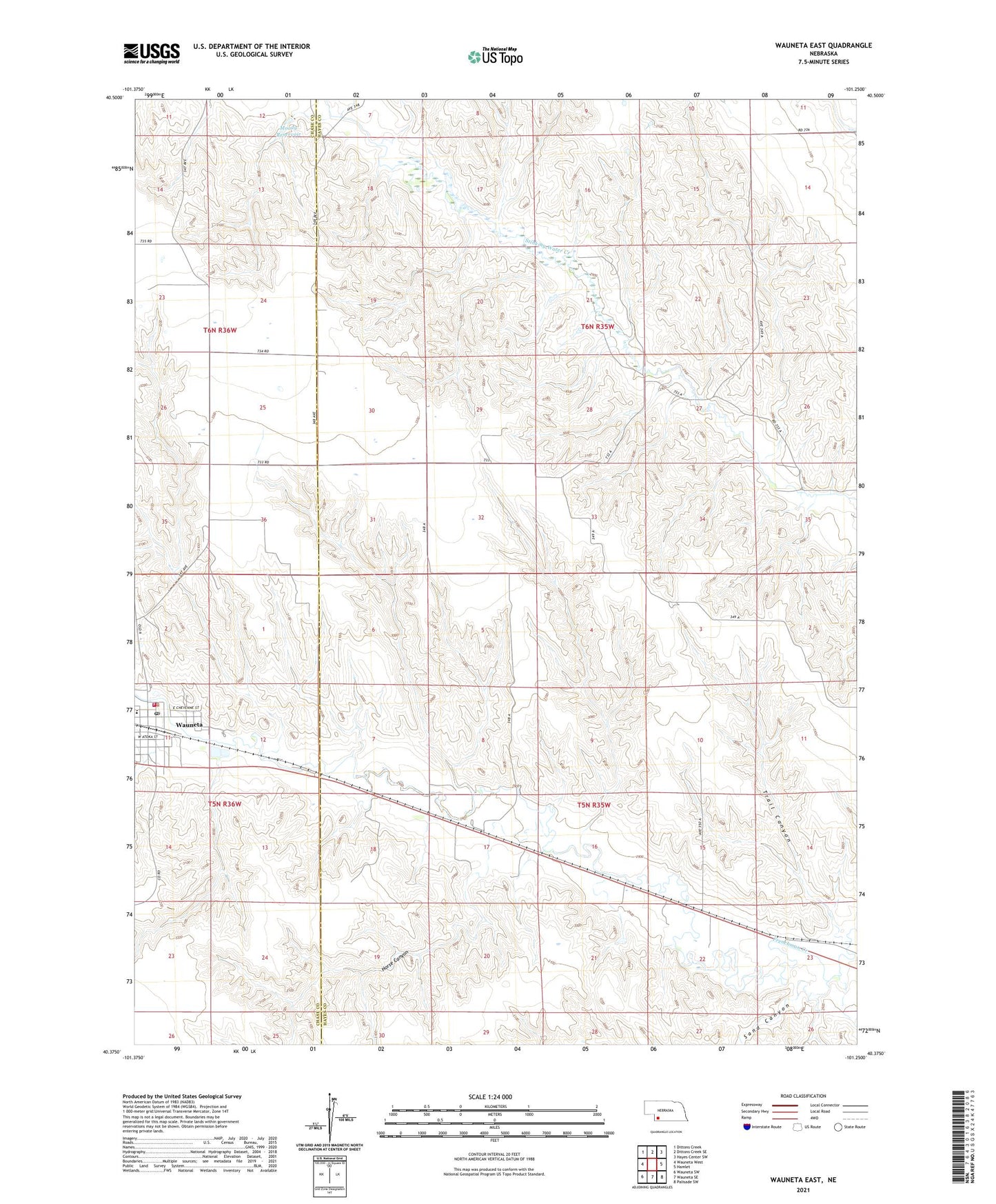
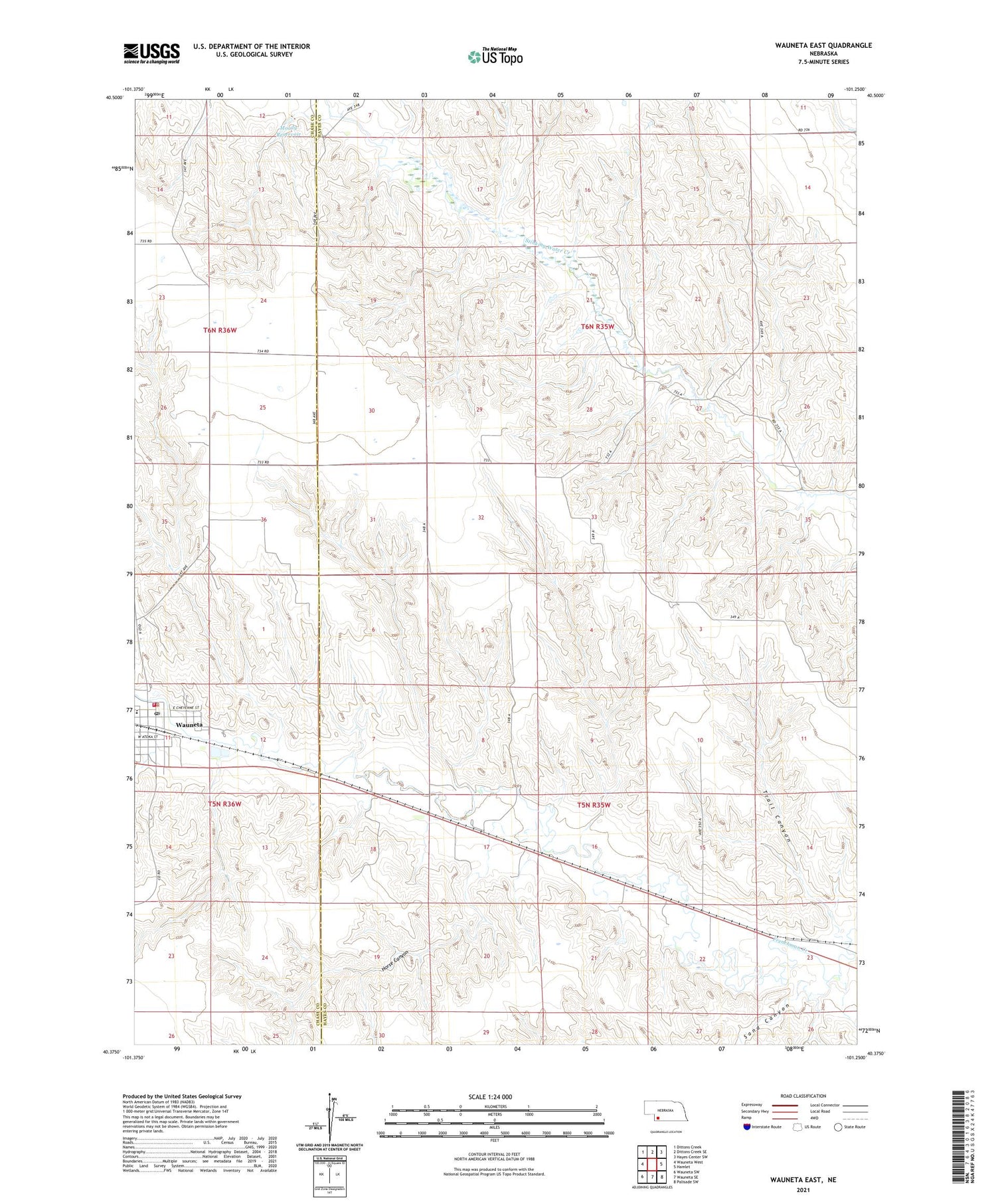
2021 topographic map quadrangle Wauneta East in the state of Nebraska. Scale: 1:24000. Based on the newly updated USGS 7.5' US Topo map series, this map is in the following counties: Hayes, Chase. The map contains contour data, water features, and other items you are used to seeing on USGS maps, but also has updated roads and other features. This is the next generation of topographic maps. Printed on high-quality waterproof paper with UV fade-resistant inks.
Quads adjacent to this one:
West: Wauneta West
Northwest: Dittons Creek
North: Dittons Creek SE
Northeast: Hayes Center SW
East: Hamlet
Southeast: Palisade SW
South: Wauneta SE
Southwest: Wauneta SW
Contains the following named places: Church of Christ, Church of the Nazarene, Eden Missionary Church, Frenchman Valley Baptist Fellowship, Frenchman Valley Co-op Elevator, Heritage of Wauneta Incorporated, Horse Canyon, Immanuel Missionary Church, Immanuel Missionary School, Methodist Church, Moody Dam, Moody Reservoir, Redeemer Lutheran Church, Saint Johns Catholic Church, Saint Pauls Lutheran Church, Sand Canyon, Stinking Creek, Trail Canyon, Wauneta, Wauneta Emergency Medical Services, Wauneta Family Practice Association, Wauneta Police Department, Wauneta Post Office, Wauneta Public Library, Wauneta Volunteer Fire Department, Wauneta-Palisade High School, ZIP Code: 69045