MyTopo
Wellfleet Nebraska US Topo Map
Couldn't load pickup availability
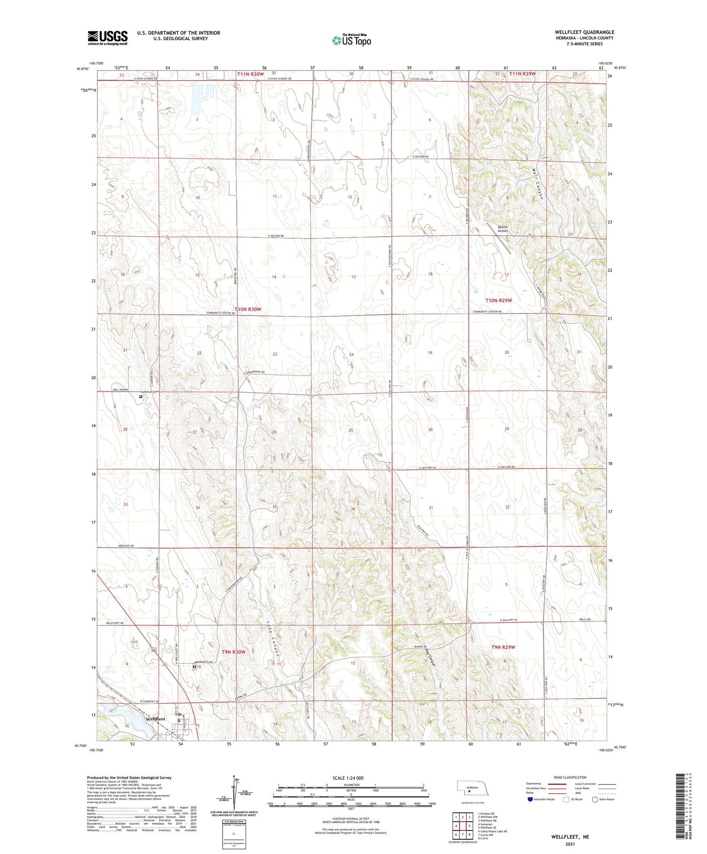
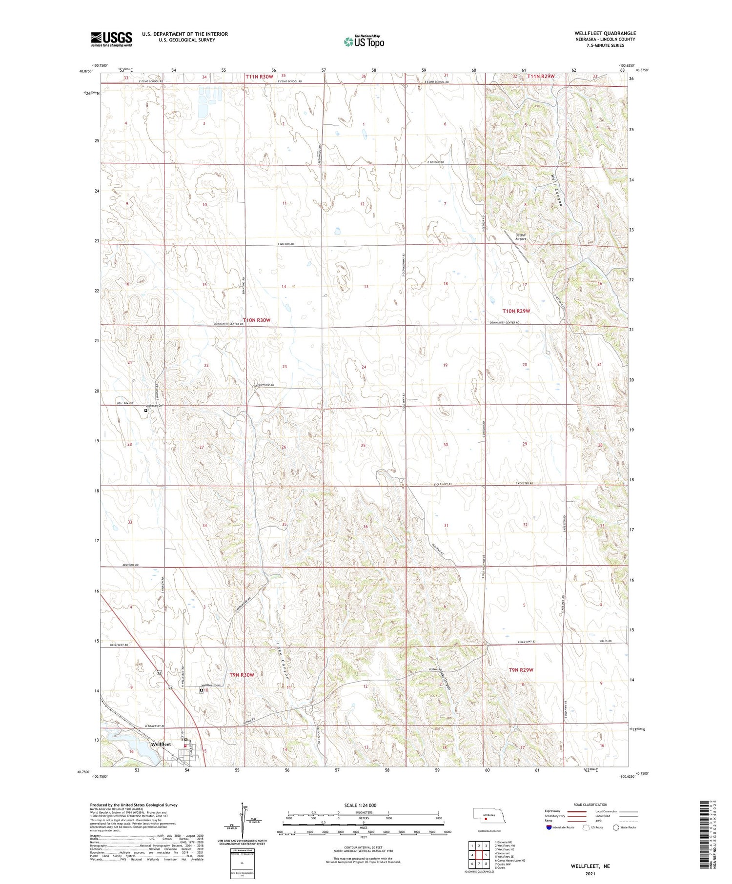
2021 topographic map quadrangle Wellfleet in the state of Nebraska. Scale: 1:24000. Based on the newly updated USGS 7.5' US Topo map series, this map is in the following counties: Lincoln. The map contains contour data, water features, and other items you are used to seeing on USGS maps, but also has updated roads and other features. This is the next generation of topographic maps. Printed on high-quality waterproof paper with UV fade-resistant inks.
Quads adjacent to this one:
West: Somerset
Northwest: Dickens NE
North: Wellfleet NW
Northeast: Wellfleet NE
East: Wellfleet SE
Southeast: Curtis
South: Curtis NW
Southwest: Camp Hayes Lake NE
Contains the following named places: Community Center School, Detour Airport, Echo Post Office, Echo School, Lutheran Cemetery, Maywood Wellfleet Volunteer Fire Department, Medicine Election Precinct, Saint William Catholic Church, Village of Wellfleet, Welfleet Lake, Well Election Precinct, Wellfleet, Wellfleet Cemetery, Wellfleet Dam, Wellfleet Lake, Wellfleet Post Office, Wellfleet School, ZIP Code: 69170