MyTopo
Double Hot Springs Nevada US Topo Map
Couldn't load pickup availability
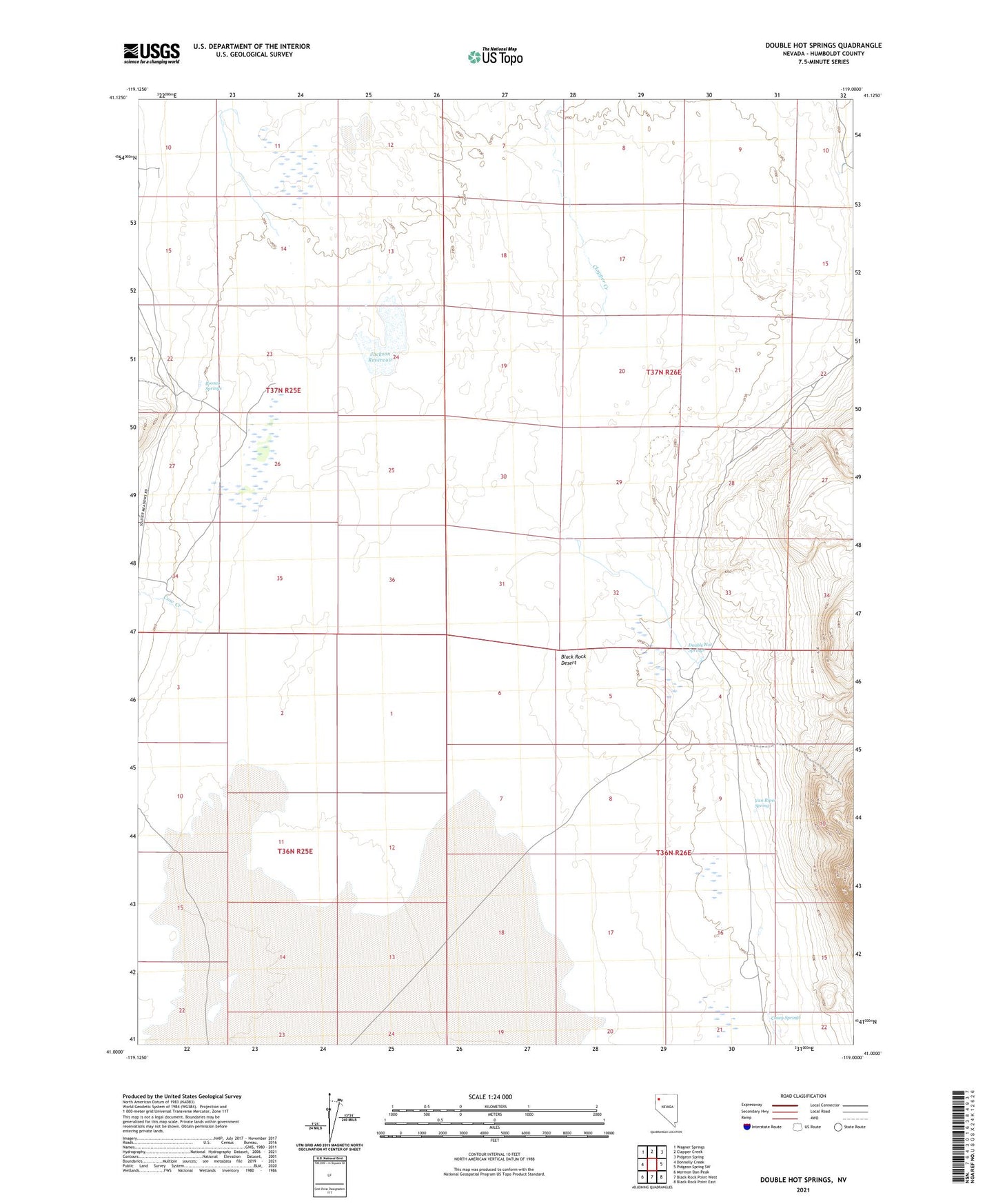
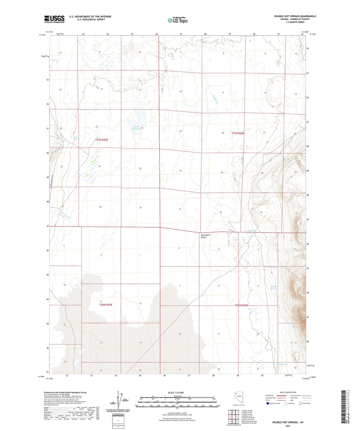
2021 topographic map quadrangle Double Hot Springs in the state of Nevada. Scale: 1:24000. Based on the newly updated USGS 7.5' US Topo map series, this map is in the following counties: Humboldt. The map contains contour data, water features, and other items you are used to seeing on USGS maps, but also has updated roads and other features. This is the next generation of topographic maps. Printed on high-quality waterproof paper with UV fade-resistant inks.
Quads adjacent to this one:
West: Donnelly Creek
Northwest: Wagner Springs
North: Clapper Creek
Northeast: Pidgeon Spring
East: Pidgeon Spring SW
Southeast: Black Rock Point East
South: Black Rock Point West
Southwest: Mormon Dan Peak
Contains the following named places: Bronco Springs, Casey Springs, Clapper Creek, Cow Creek, Donnelly Creek, Double Hot Springs, Hardin City, Harveyville Post Office, Jackson Reservoir, Mud Meadow Creek, Van Riper Spring, Vogel Weiss Ranch, Wheeler Ranch