MyTopo
Empire Nevada US Topo Map
Couldn't load pickup availability
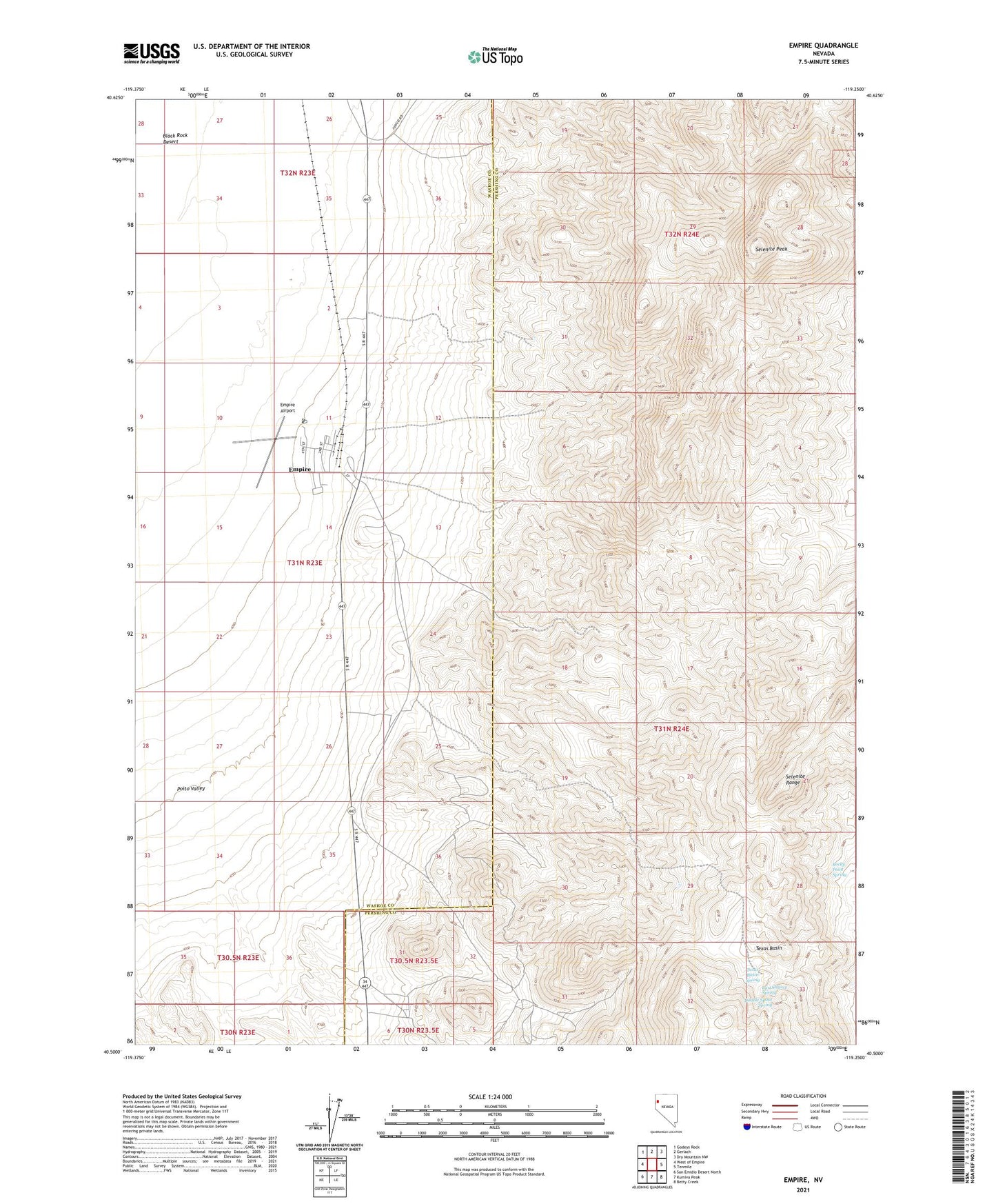
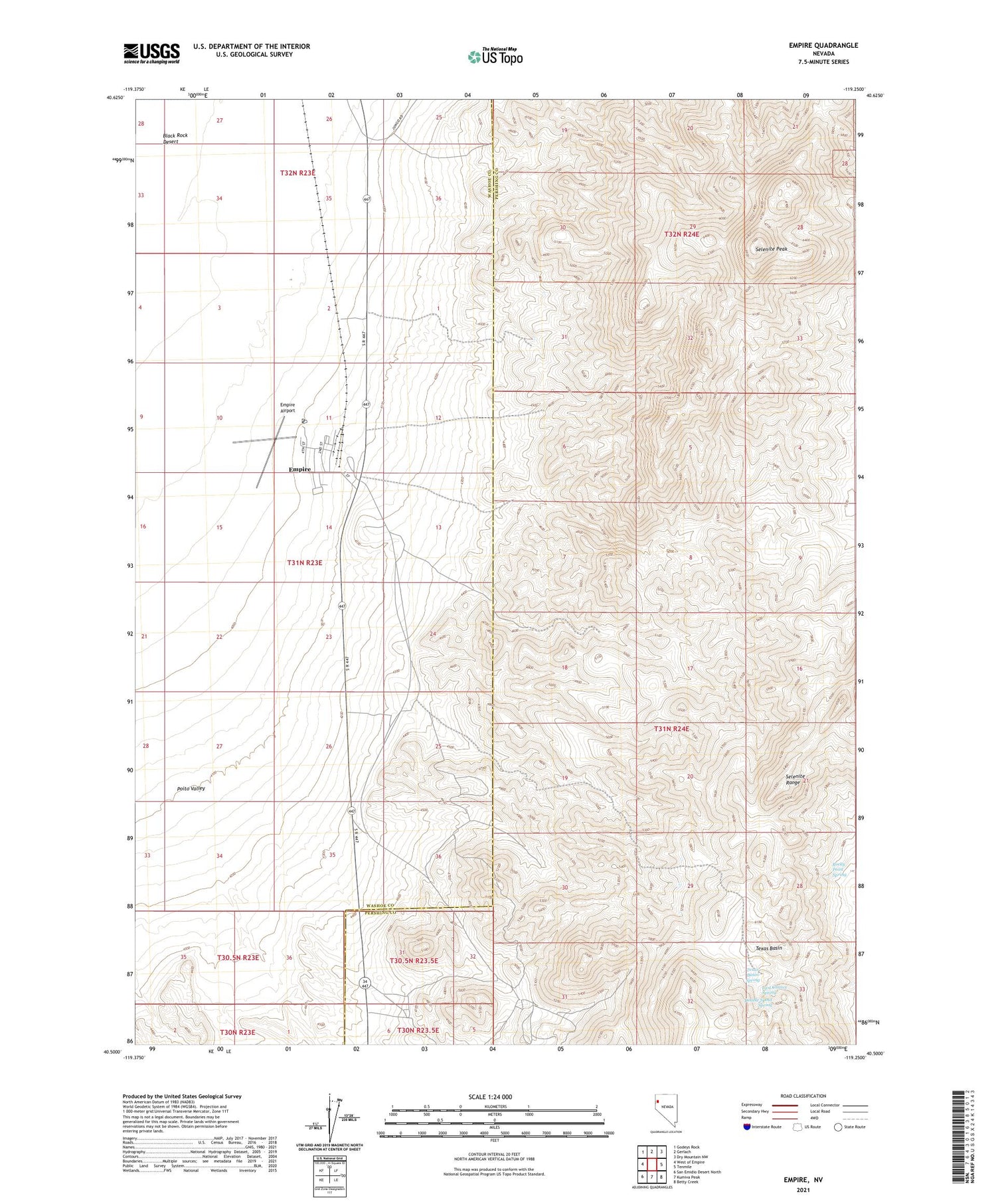
2021 topographic map quadrangle Empire in the state of Nevada. Scale: 1:24000. Based on the newly updated USGS 7.5' US Topo map series, this map is in the following counties: Washoe, Pershing. The map contains contour data, water features, and other items you are used to seeing on USGS maps, but also has updated roads and other features. This is the next generation of topographic maps. Printed on high-quality waterproof paper with UV fade-resistant inks.
Quads adjacent to this one:
West: West of Empire
Northwest: Godeys Rock
North: Gerlach
Northeast: Dry Mountain NW
East: Tenmile
Southeast: Betty Creek
South: Kumiva Peak
Southwest: San Emidio Desert North
Contains the following named places: Double Spout Spring, Empire, Empire Airport, Empire Census Designated Place, Empire Post Office, Ernest M Johnson Elementary School, Last Chance Spring, Rocky Point Spring, Selenite Peak, Selenite Range, Texas Basin, Texas Basin Spring, U S Gypsum Company Plant