MyTopo
Ninemile Mountain Nevada US Topo Map
Couldn't load pickup availability
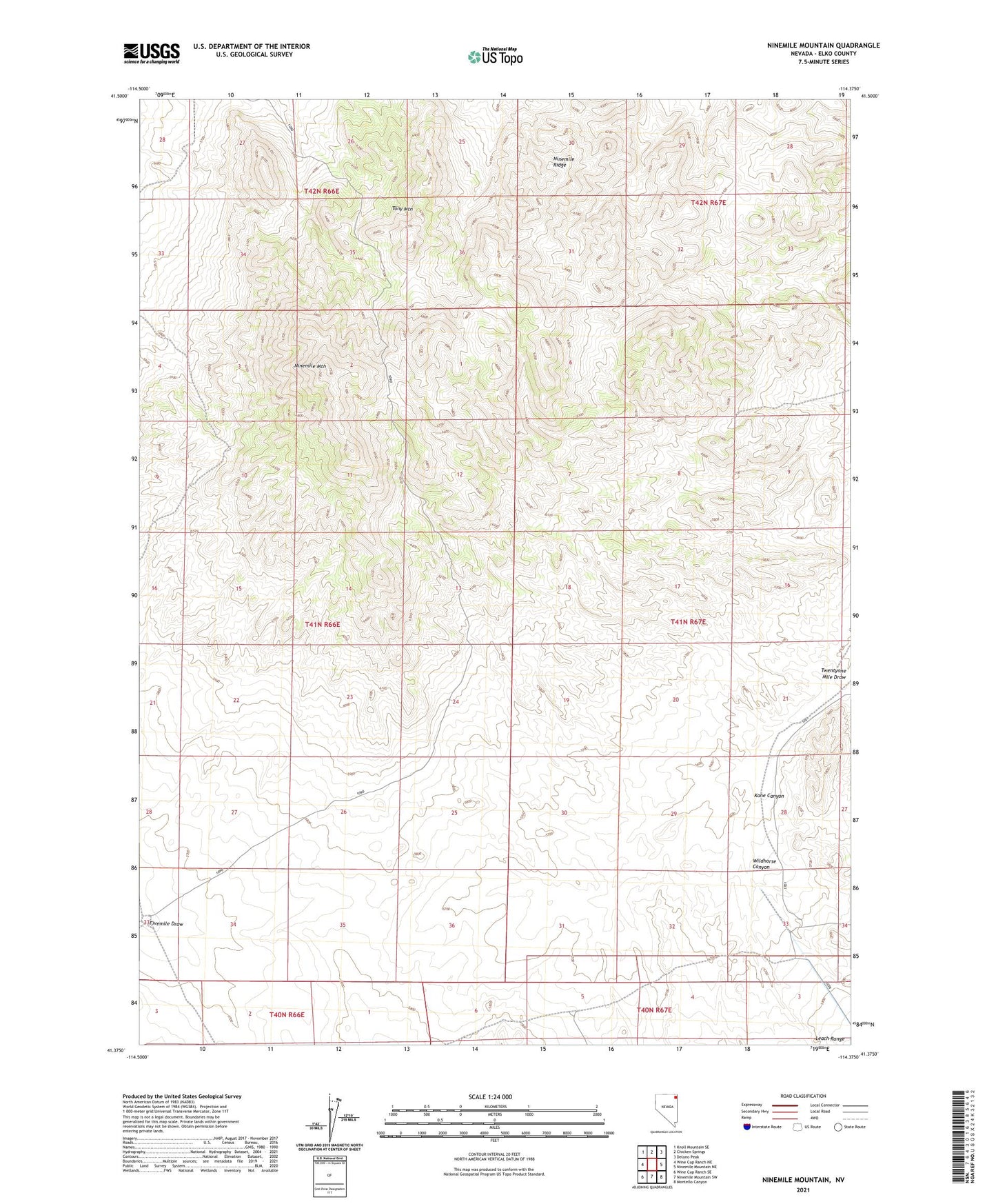
2021 topographic map quadrangle Ninemile Mountain in the state of Nevada. Scale: 1:24000. Based on the newly updated USGS 7.5' US Topo map series, this map is in the following counties: Elko. The map contains contour data, water features, and other items you are used to seeing on USGS maps, but also has updated roads and other features. This is the next generation of topographic maps. Printed on high-quality waterproof paper with UV fade-resistant inks.
Quads adjacent to this one:
West: Wine Cup Ranch NE
Northwest: Knoll Mountain SE
North: Chicken Springs
Northeast: Delano Peak
East: Ninemile Mountain NE
Southeast: Montello Canyon
South: Ninemile Mountain SW
Southwest: Wine Cup Ranch SE
Contains the following named places: Eccus Rand Well, Fivemile Draw Well, Hidden Well, Kane Canyon, Ninemile Mountain, Ninemile Ridge, Tony Mountain, Wildhorse Canyon