MyTopo
Scottys Junction Nevada US Topo Map
Couldn't load pickup availability
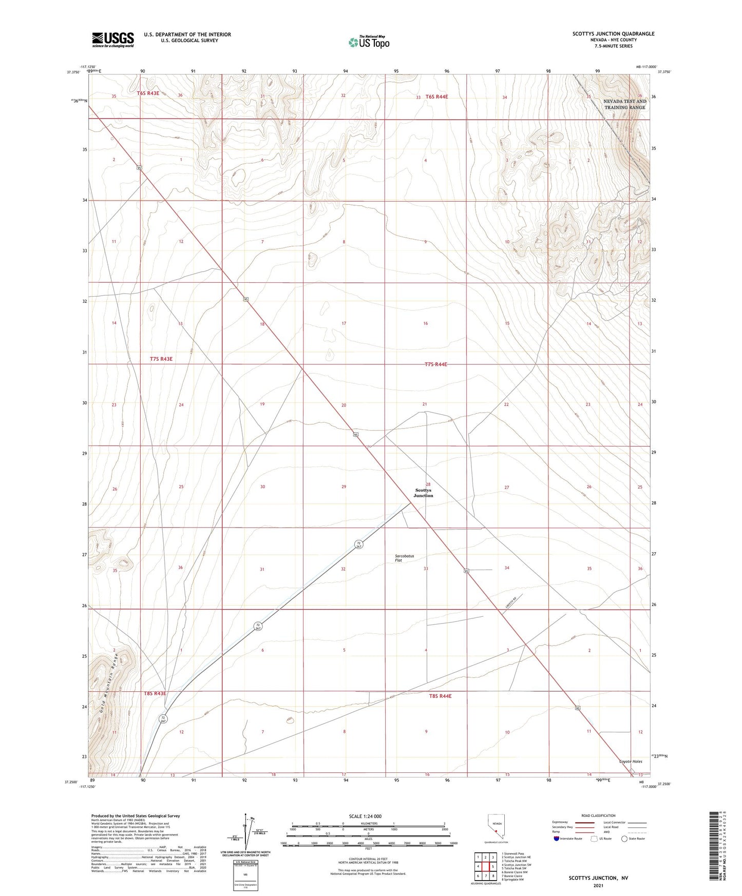
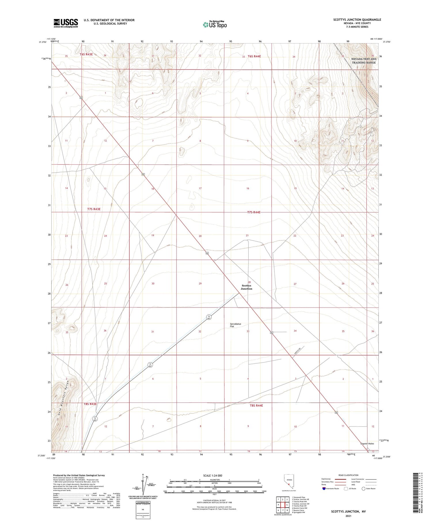
2021 topographic map quadrangle Scottys Junction in the state of Nevada. Scale: 1:24000. Based on the newly updated USGS 7.5' US Topo map series, this map is in the following counties: Nye. The map contains contour data, water features, and other items you are used to seeing on USGS maps, but also has updated roads and other features. This is the next generation of topographic maps. Printed on high-quality waterproof paper with UV fade-resistant inks.
Quads adjacent to this one:
West: Scottys Junction SW
Northwest: Stonewall Pass
Southeast: Springdale NW
South: Bonnie Claire
Southwest: Bonnie Claire NW
Contains the following named places: Coyote Holes, Farmer Station, San Carlos, Scottys Junction, Scottys Junction Airport