MyTopo
Spring Creek Flat NW Nevada US Topo Map
Couldn't load pickup availability
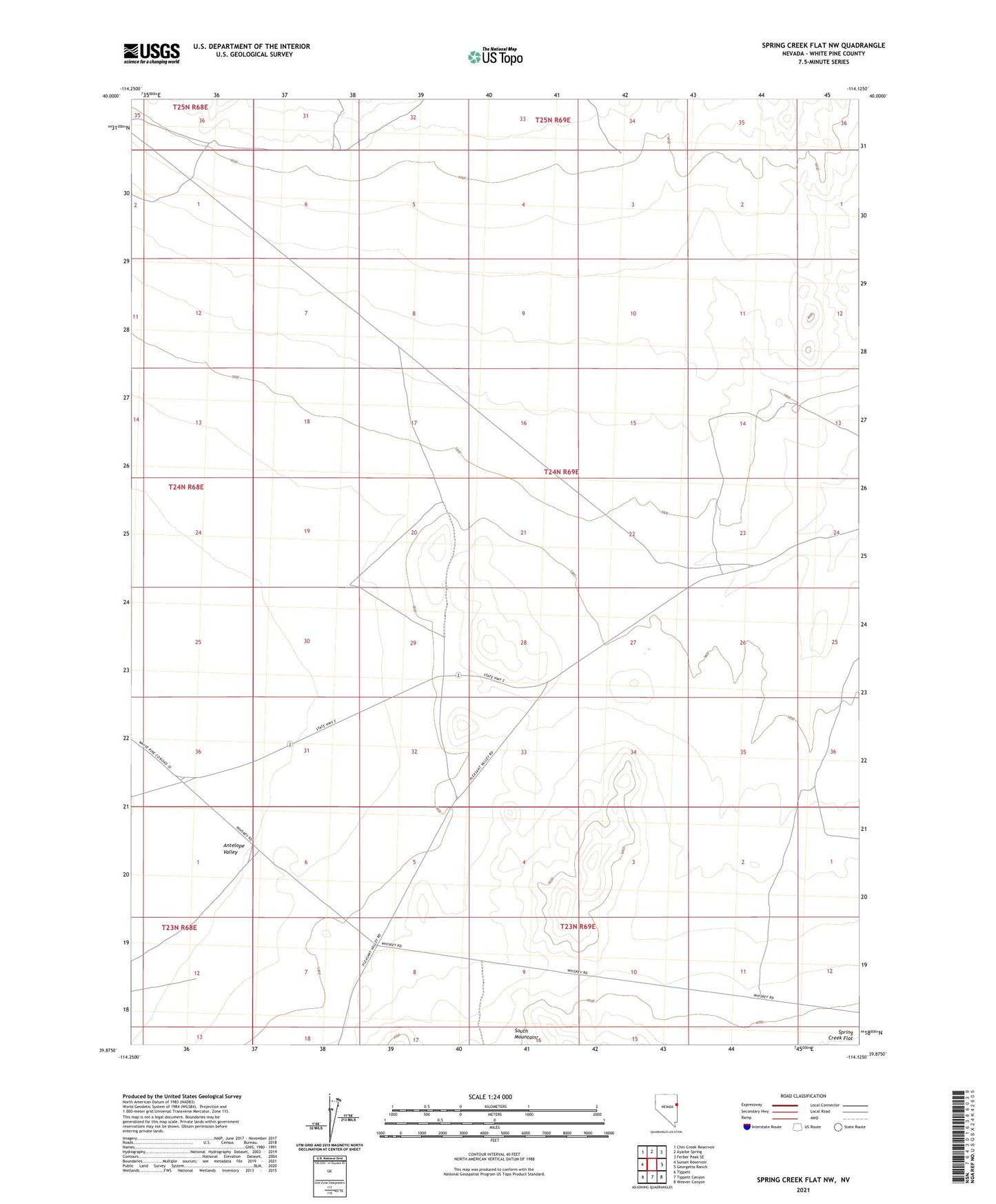
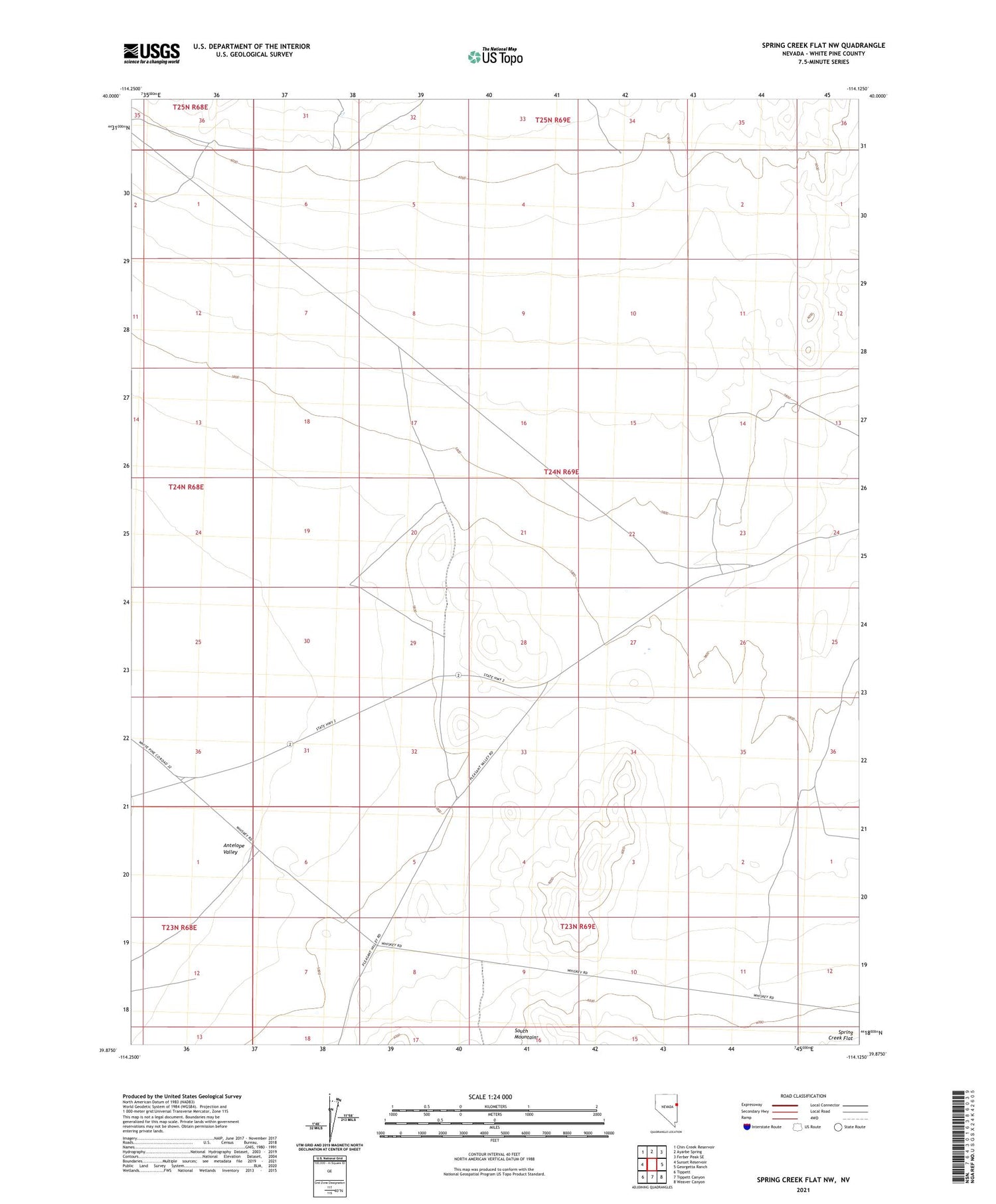
2021 topographic map quadrangle Spring Creek Flat NW in the state of Nevada. Scale: 1:24000. Based on the newly updated USGS 7.5' US Topo map series, this map is in the following counties: White Pine. The map contains contour data, water features, and other items you are used to seeing on USGS maps, but also has updated roads and other features. This is the next generation of topographic maps. Printed on high-quality waterproof paper with UV fade-resistant inks.
Quads adjacent to this one:
West: Sunset Reservoir
Northwest: Chin Creek Reservoir
North: Ayarbe Spring
Northeast: Ferber Peak SE
East: Georgetta Ranch
Southeast: Weaver Canyon
South: Tippett Canyon
Southwest: Tippett
Contains the following named places: Pony Express Historical Monument, Prairie Gate