MyTopo
Alston Ranch New Mexico US Topo Map
Couldn't load pickup availability
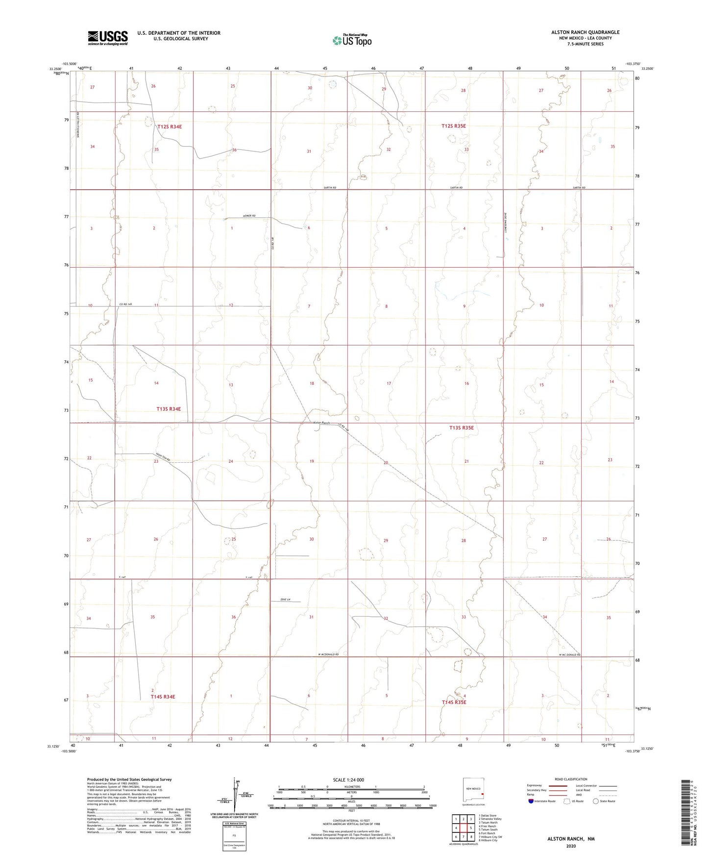
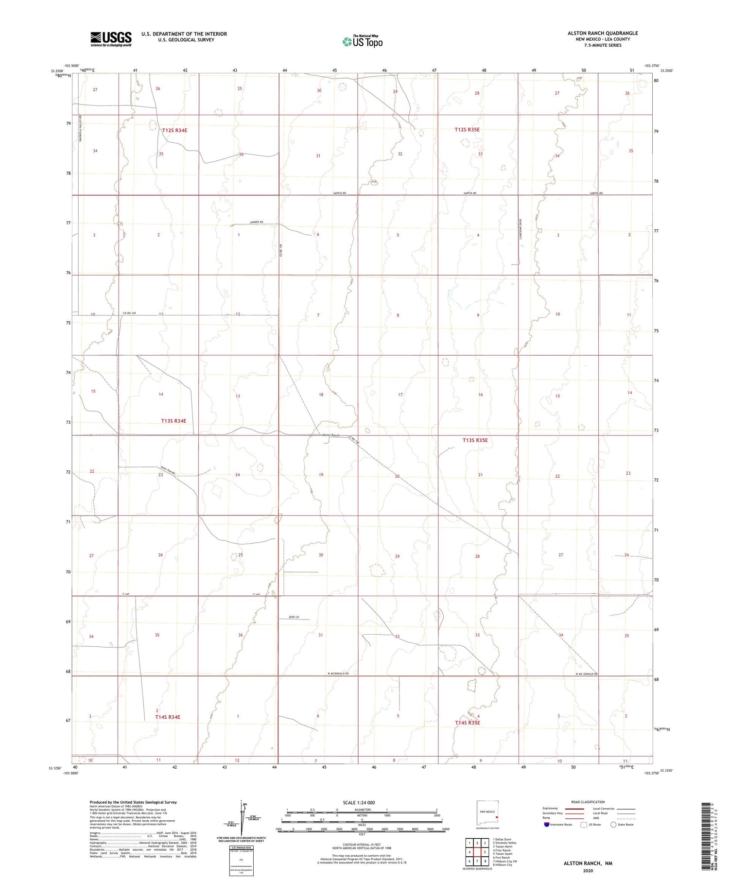
2020 topographic map quadrangle Alston Ranch in the state of New Mexico. Scale: 1:24000. Based on the newly updated USGS 7.5' US Topo map series, this map is in the following counties: Lea. The map contains contour data, water features, and other items you are used to seeing on USGS maps, but also has updated roads and other features. This is the next generation of topographic maps. Printed on high-quality waterproof paper with UV fade-resistant inks.
Quads adjacent to this one:
West: Frier Ranch
Northwest: Dallas Store
North: Simanola Valley
Northeast: Tatum North
East: Tatum South
Southeast: Hillburn City
South: Hillburn City SW
Southwest: Fort Ranch
Contains the following named places: Alston Ranch, Eaves Windmill, Fairly Windmill, Goat Windmill, Old Dipping Vat Windmill, Old Man Windmill, Ollie Windmill, Peveler Place, Sartin Windmill, Scrivner Windmill