MyTopo
Newcomb New Mexico US Topo Map
Couldn't load pickup availability
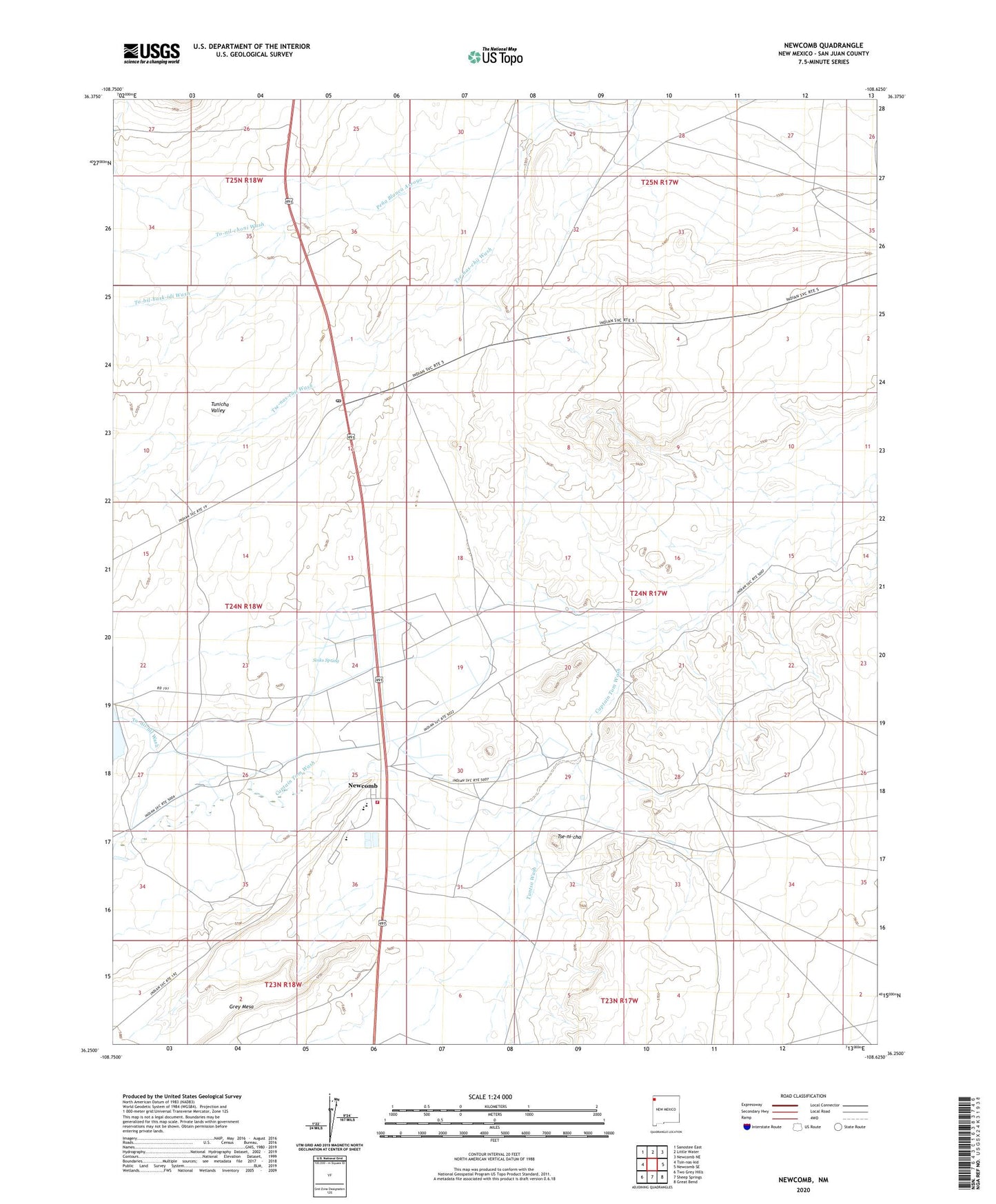
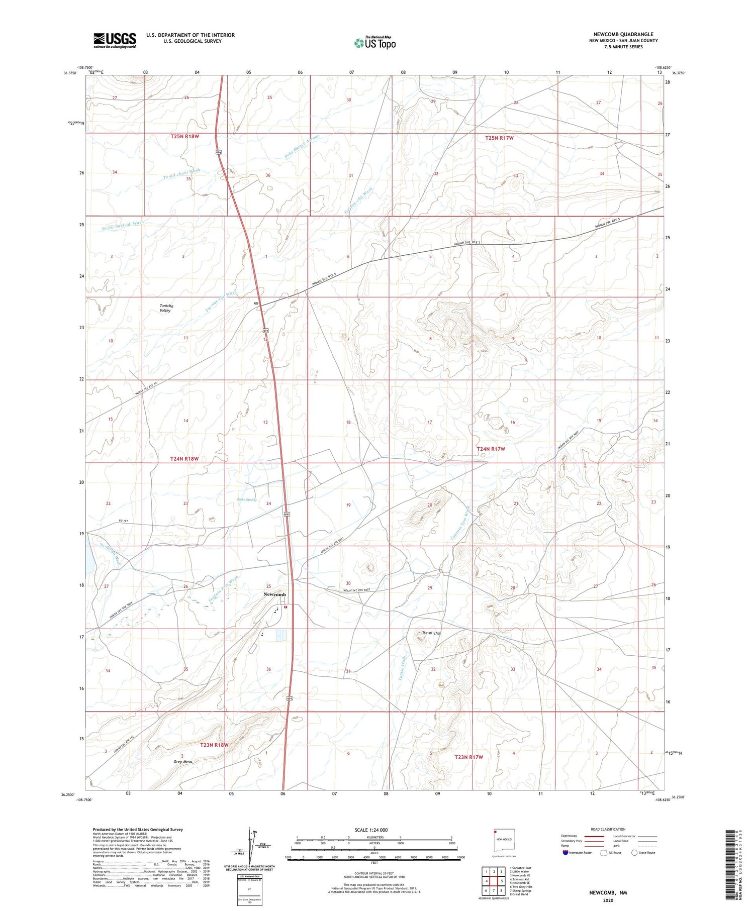
2020 topographic map quadrangle Newcomb in the state of New Mexico. Scale: 1:24000. Based on the newly updated USGS 7.5' US Topo map series, this map is in the following counties: San Juan. The map contains contour data, water features, and other items you are used to seeing on USGS maps, but also has updated roads and other features. This is the next generation of topographic maps. Printed on high-quality waterproof paper with UV fade-resistant inks.
Quads adjacent to this one:
West: Tsin-nas-kid
Northwest: Sanostee East
North: Little Water
Northeast: Newcomb NE
East: Newcomb SE
Southeast: Great Bend
South: Sheep Springs
Southwest: Two Grey Hills
Contains the following named places: 12K-312 Water Well, 12T-511 Water Well, 12T-587 Water Well, 12T-618A Water Well, 87455, Borrow Pit, Captain Tom Dam, Navajo Nation Fire and Rescue Services - Station 21, Newcomb, Newcomb Assembly of God, Newcomb Census Designated Place, Newcomb Chapter, Newcomb Elementary School, Newcomb High School, Newcomb Junior High School, Newcomb Post Office, Sinks Spring, To-dil-hil Wash, To-nil-choni Wash, Tse-nas-chii Wash, Tse-ni-cha, Tunicha Valley, Tuntsa Wash