MyTopo
Pastura SE New Mexico US Topo Map
Couldn't load pickup availability
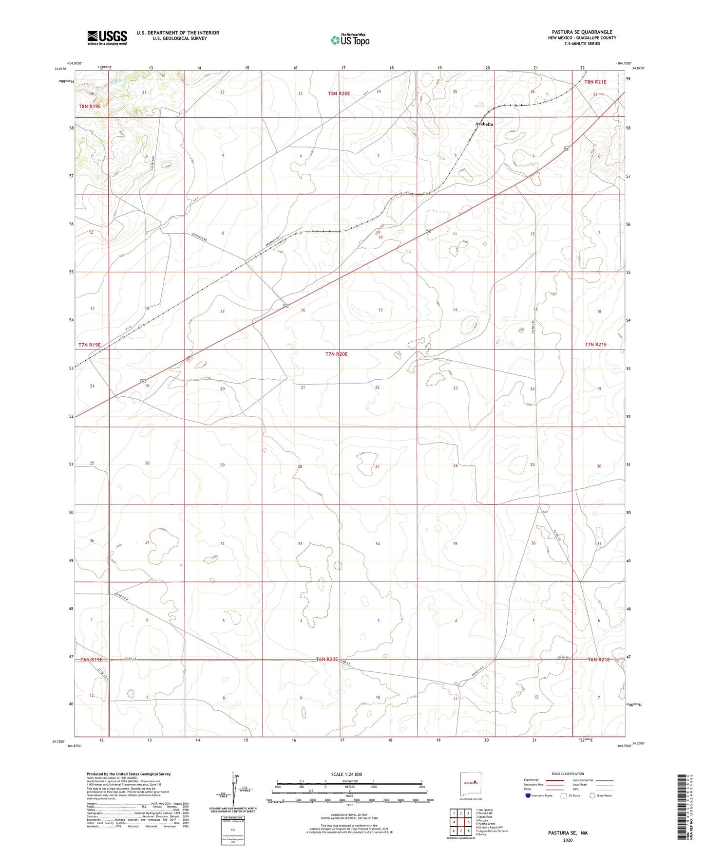
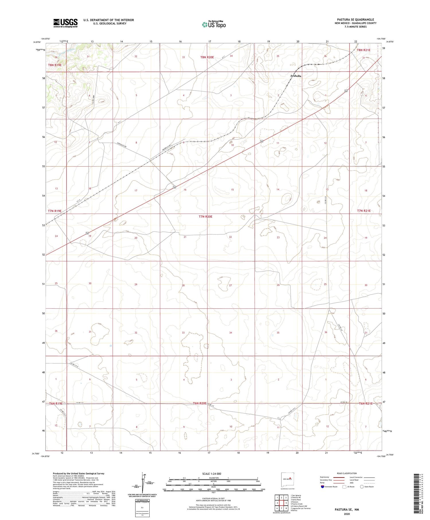
2020 topographic map quadrangle Pastura SE in the state of New Mexico. Scale: 1:24000. Based on the newly updated USGS 7.5' US Topo map series, this map is in the following counties: Guadalupe. The map contains contour data, water features, and other items you are used to seeing on USGS maps, but also has updated roads and other features. This is the next generation of topographic maps. Printed on high-quality waterproof paper with UV fade-resistant inks.
Quads adjacent to this one:
West: Pastura
Northwest: San Ignacio
North: Pastura NE
Northeast: Santa Rosa
East: Puerto Creek
Southeast: Borica
South: Laguna De Los Terreros
Southwest: El Morro Ranch NW
Contains the following named places: Arabella, Arabella Windmill, Chaves, Curry Post Office, Farm Windmill, Gallegos, Guadalupe, Guadalupe County, Guadalupe Mine, Histon Ranch, Hobo John Windmill, Kist Windmill, Lib Windmill, Little Hamilton Windmill, Martinez Camp Windmill, Mines Windmill, Old Place Windmill, Stauber Mine