MyTopo
Potrillo New Mexico US Topo Map
Regular price
$16.95
Regular price
Sale price
$16.95
Unit price
per
Couldn't load pickup availability
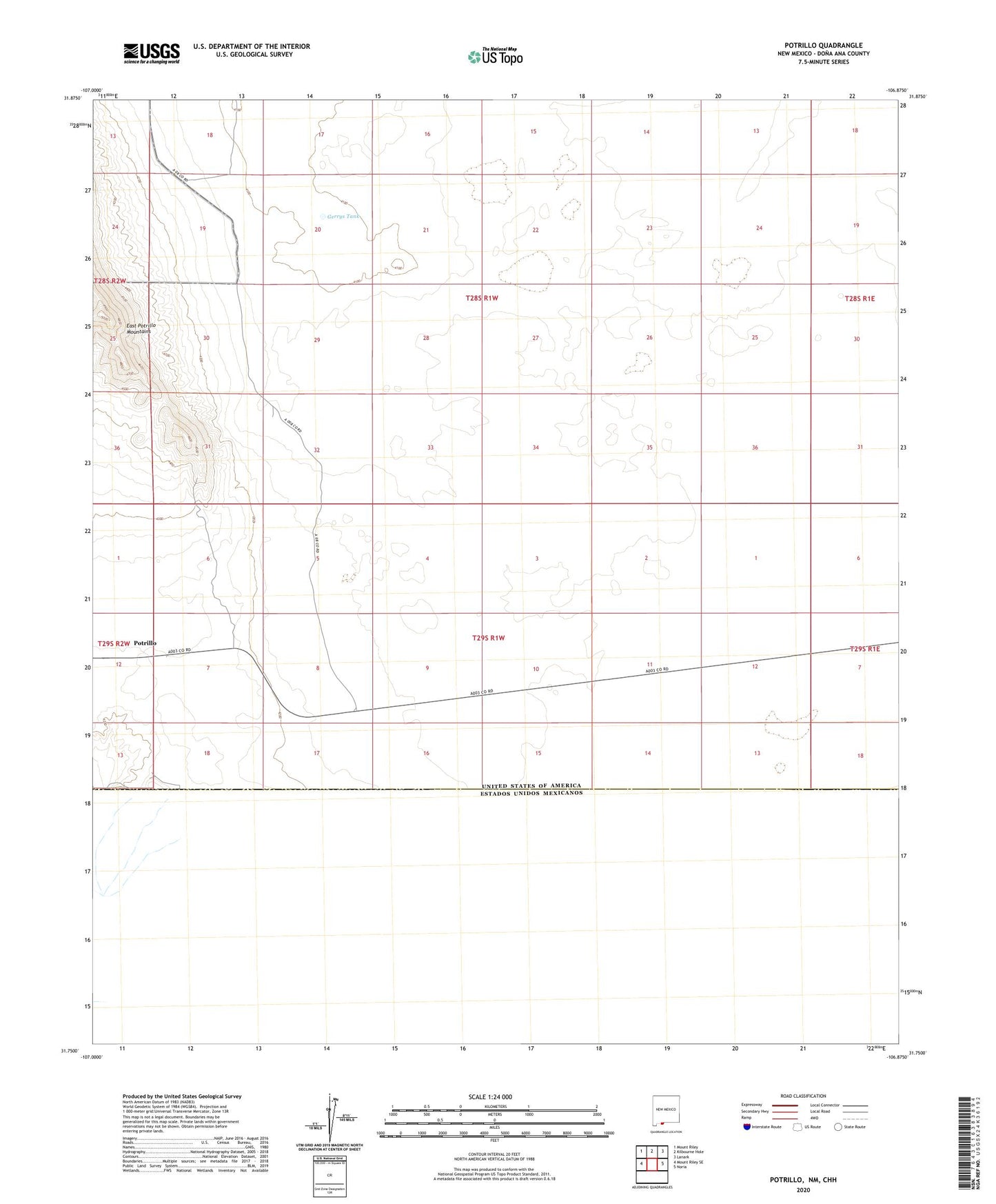
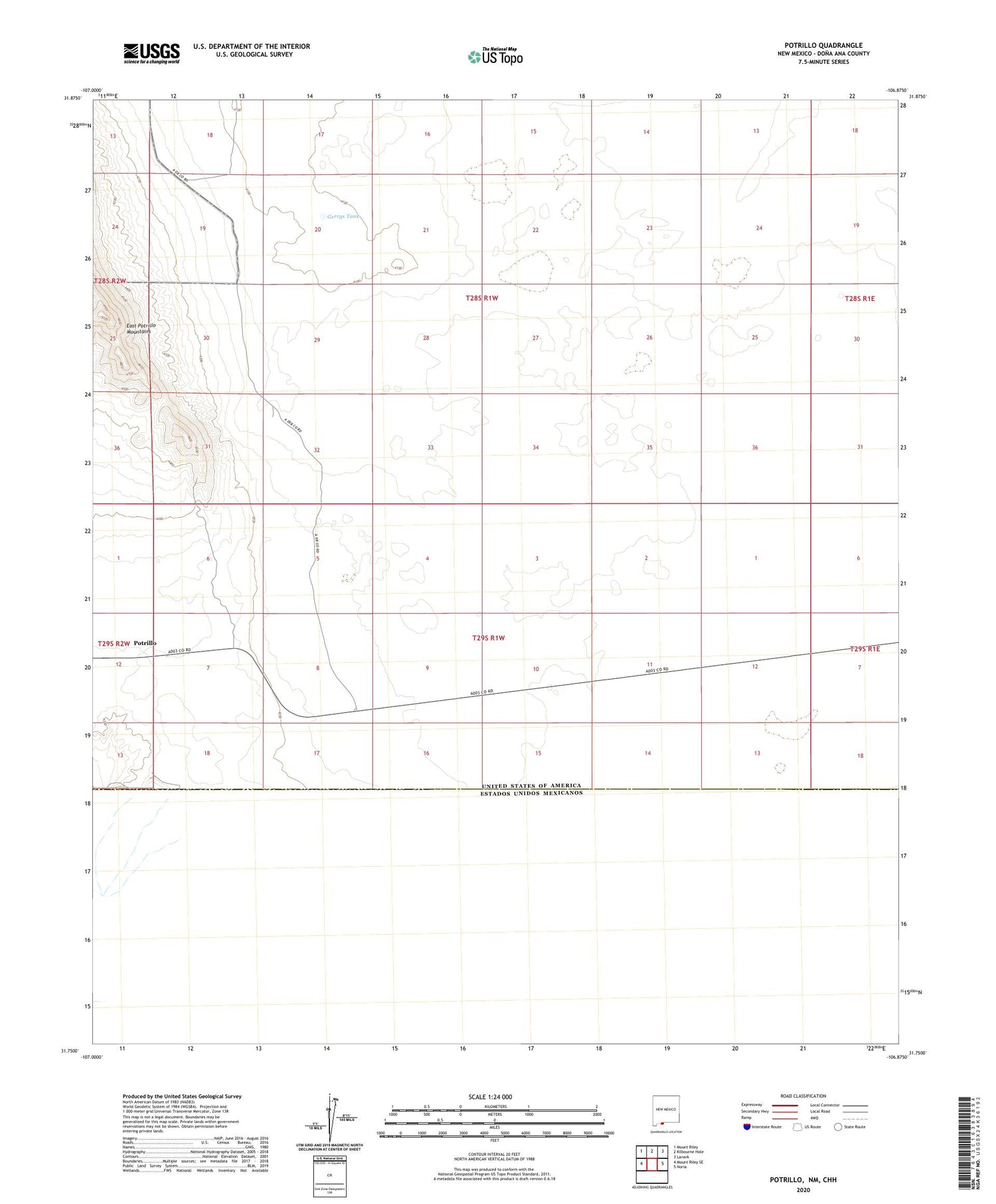
2020 topographic map quadrangle Potrillo in the state of New Mexico. Scale: 1:24000. Based on the newly updated USGS 7.5' US Topo map series, this map is in the following counties: Doña Ana. The map contains contour data, water features, and other items you are used to seeing on USGS maps, but also has updated roads and other features. This is the next generation of topographic maps. Printed on high-quality waterproof paper with UV fade-resistant inks.
Quads adjacent to this one:
West: Mount Riley SE
Northwest: Mount Riley
North: Kilbourne Hole
Northeast: Lanark
East: Noria
Contains the following named places: Federal 'H' Number One Mine, Gerrys Tank, Herrington's Home Ranch, Portillo Post Office, Potrillo