MyTopo
Tatum South New Mexico US Topo Map
Couldn't load pickup availability
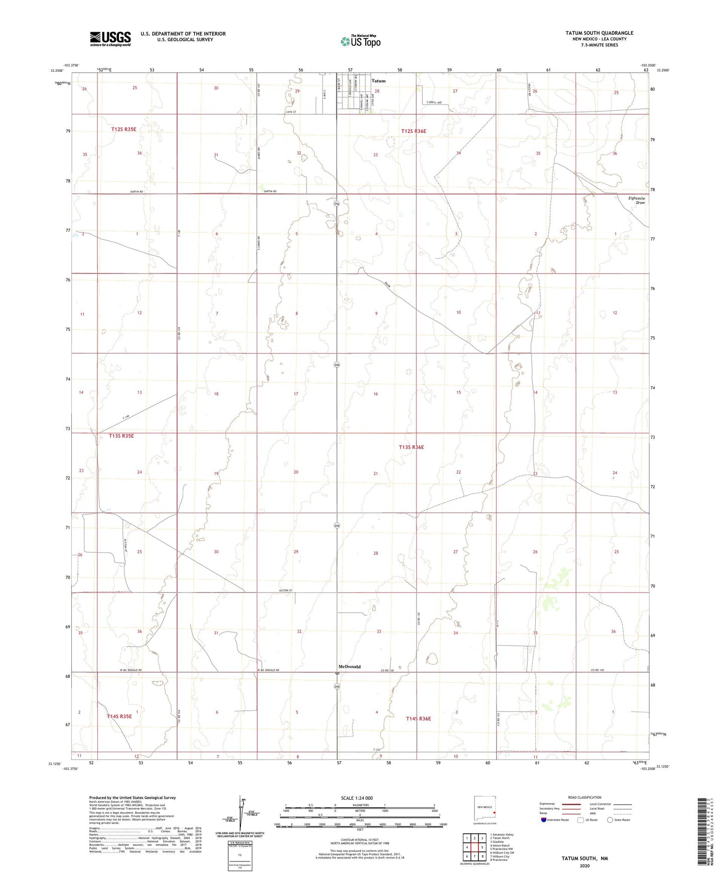
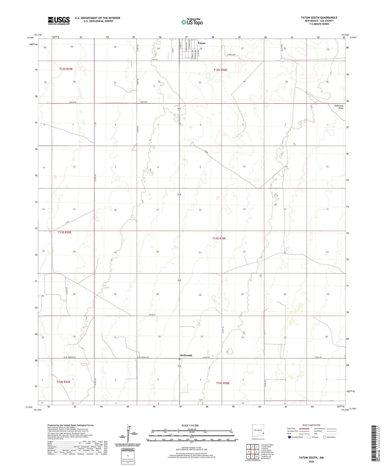
2020 topographic map quadrangle Tatum South in the state of New Mexico. Scale: 1:24000. Based on the newly updated USGS 7.5' US Topo map series, this map is in the following counties: Lea. The map contains contour data, water features, and other items you are used to seeing on USGS maps, but also has updated roads and other features. This is the next generation of topographic maps. Printed on high-quality waterproof paper with UV fade-resistant inks.
Quads adjacent to this one:
West: Alston Ranch
Northwest: Simanola Valley
North: Tatum North
Northeast: Gladiola
East: Prairieview NW
Southeast: Prairieview
South: Hillburn City
Southwest: Hillburn City SW
Contains the following named places: Buck Windmill, Camps Windmill, Draw Windmill, Hardrock Windmill, Keenum Windmill, L-520-S Water Well, McDonald, McDonald Post Office, West Pasture Windmill, West Windmill