
MyTopo
Sixmile Creek New York US Topo Map
Couldn't load pickup availability
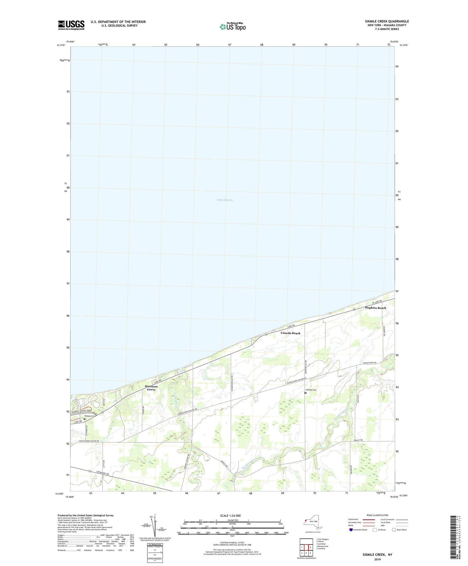
2019 topographic map quadrangle Sixmile Creek in the state of New York. Scale: 1:24000. Based on the newly updated USGS 7.5' US Topo map series, this map is in the following counties: Niagara. The map contains contour data, water features, and other items you are used to seeing on USGS maps, but also has updated roads and other features. This is the next generation of topographic maps. Printed on high-quality waterproof paper with UV fade-resistant inks.
Quads adjacent to this one:
West: Fort Niagara
East: Wilson
Southeast: Cambria
South: Ransomville
Southwest: Lewiston
Contains the following named places: Filmore Chapel, Fourmile Creek, Fourmile Creek State Park, Halsted Cemetery, Harrison Grove, Hopkins Beach, Niagara Frontier Country Club, Oakland Cemetery, School Number 11, School Number 5, School Number 8, School Number 9, Scott Memorial YMCA Camp, Shear Airport, Sixmile Creek, Town of Porter, Tryonville, Uneeda Beach


