MyTopo
Ashley West North Dakota US Topo Map
Couldn't load pickup availability
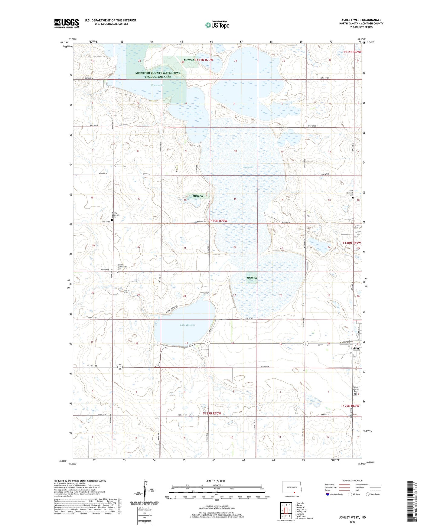
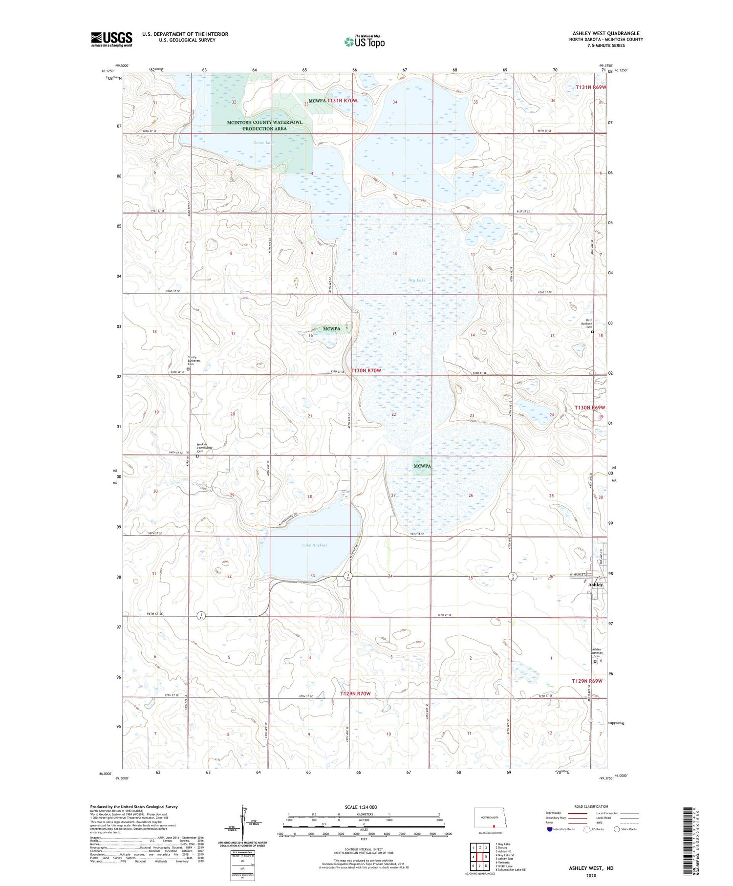
2020 topographic map quadrangle Ashley West in the state of North Dakota. Scale: 1:24000. Based on the newly updated USGS 7.5' US Topo map series, this map is in the following counties: McIntosh. The map contains contour data, water features, and other items you are used to seeing on USGS maps, but also has updated roads and other features. This is the next generation of topographic maps. Printed on high-quality waterproof paper with UV fade-resistant inks.
Quads adjacent to this one:
West: May Lake SE
Northwest: May Lake
North: Danzig
Northeast: Ashley NE
East: Ashley East
Southeast: Schumacher Lake NE
South: Wolff Lake
Contains the following named places: Ashley Lutheran Cemetery, Ashley Public School, Beth Itzchock Cemetery, Dry Lake, Goose Lake, Hoskins Community Cemetery, Lake Hoskins, Lake Hoskins Dam, Lake Hoskins Recreational Area, McIntosh County, Trinity Lutheran Cemetery