MyTopo
Bentley North Dakota US Topo Map
Couldn't load pickup availability
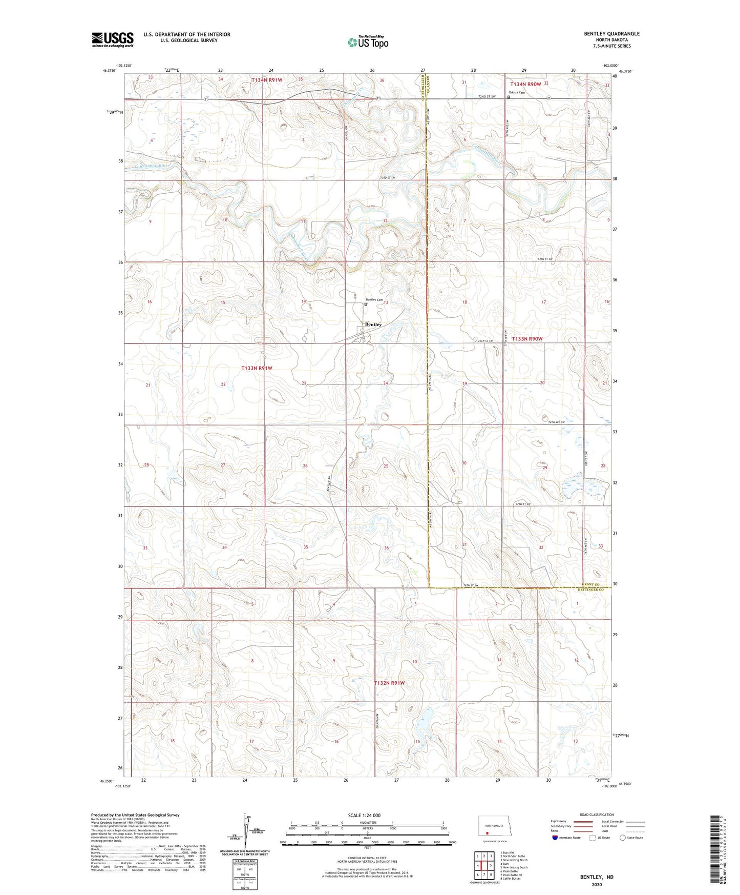
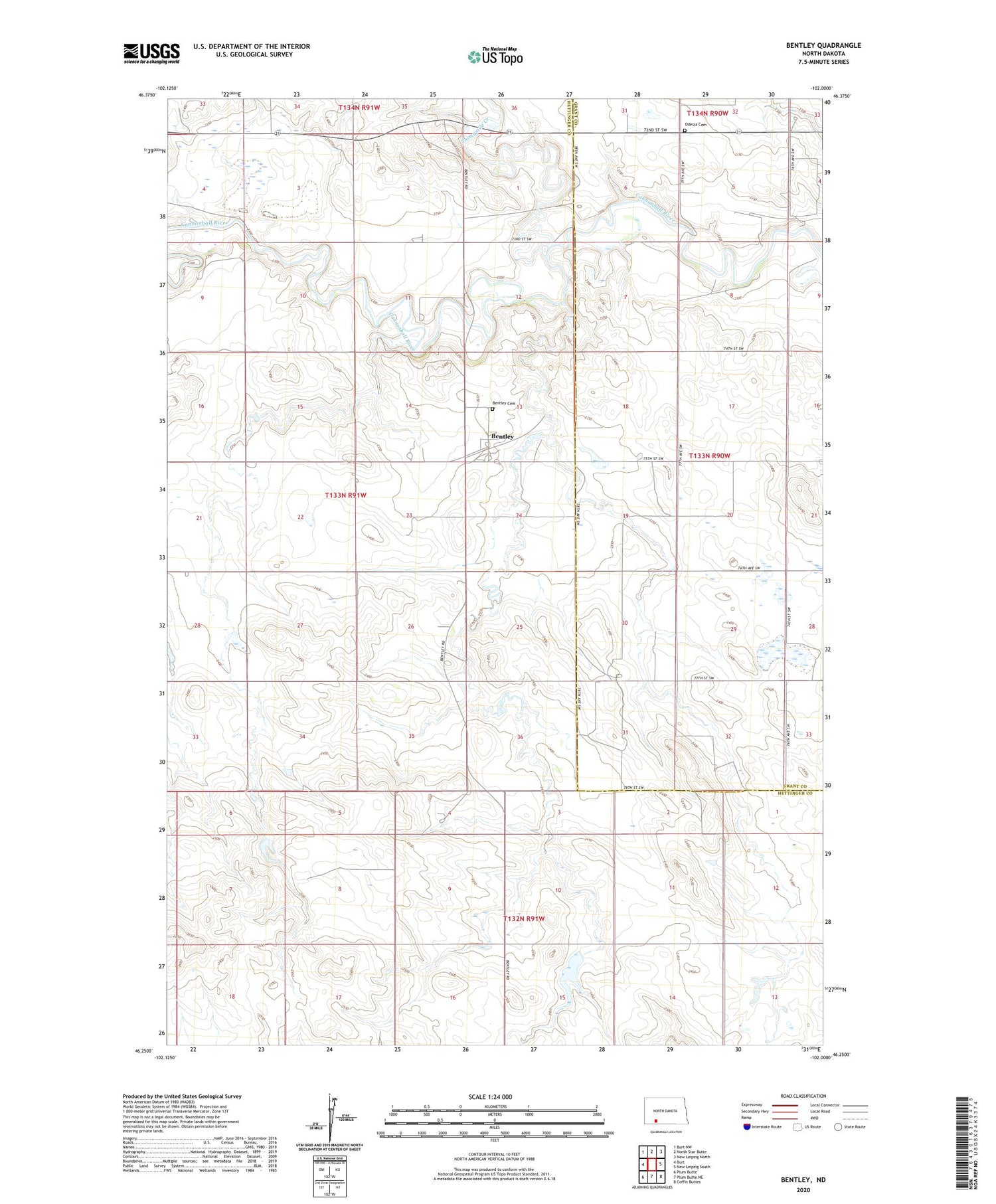
2020 topographic map quadrangle Bentley in the state of North Dakota. Scale: 1:24000. Based on the newly updated USGS 7.5' US Topo map series, this map is in the following counties: Hettinger, Grant. The map contains contour data, water features, and other items you are used to seeing on USGS maps, but also has updated roads and other features. This is the next generation of topographic maps. Printed on high-quality waterproof paper with UV fade-resistant inks.
Quads adjacent to this one:
West: Burt
Northwest: Burt NW
North: North Star Butte
Northeast: New Leipzig North
East: New Leipzig South
Southeast: Coffin Buttes
South: Plum Butte NE
Southwest: Plum Butte
Contains the following named places: Bentley, Bentley Cemetery, Kilzer Dam, Odessa, Odessa Cemetery, Thirtymile Creek, Township of Cannon Ball