MyTopo
Dazey NE North Dakota US Topo Map
Couldn't load pickup availability
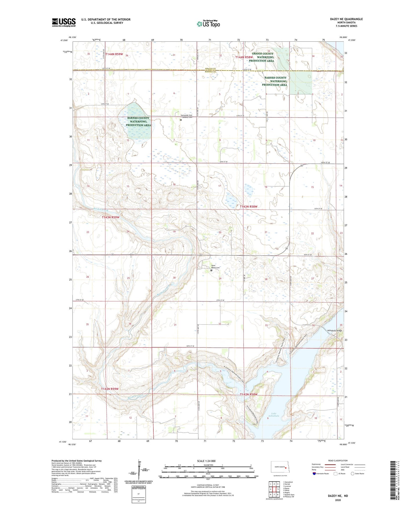
2020 topographic map quadrangle Dazey NE in the state of North Dakota. Scale: 1:24000. Based on the newly updated USGS 7.5' US Topo map series, this map is in the following counties: Barnes, Griggs. The map contains contour data, water features, and other items you are used to seeing on USGS maps, but also has updated roads and other features. This is the next generation of topographic maps. Printed on high-quality waterproof paper with UV fade-resistant inks.
Quads adjacent to this one:
West: Dazey
Northwest: Hannaford
North: Karnak
Northeast: Luverne
East: Sibley
Southeast: Pillsbury SW
South: Baldhill Dam
Southwest: Rogers
Contains the following named places: Ashtabula, Ashtabula Bridge, Baldhill Creek, Baldhill Creek Dam, Berger Dam, Heinze Dam, Saint Marys Cemetery, Saint Marys Church, School Number 25, Sibley Trail Church, Sibley Trail Town Hall, Sunnyside Cemetery / Ladbury Cemetery, Township of Sibley Trail, Wesley Acres Camp