MyTopo
Eckelson SE North Dakota US Topo Map
Couldn't load pickup availability
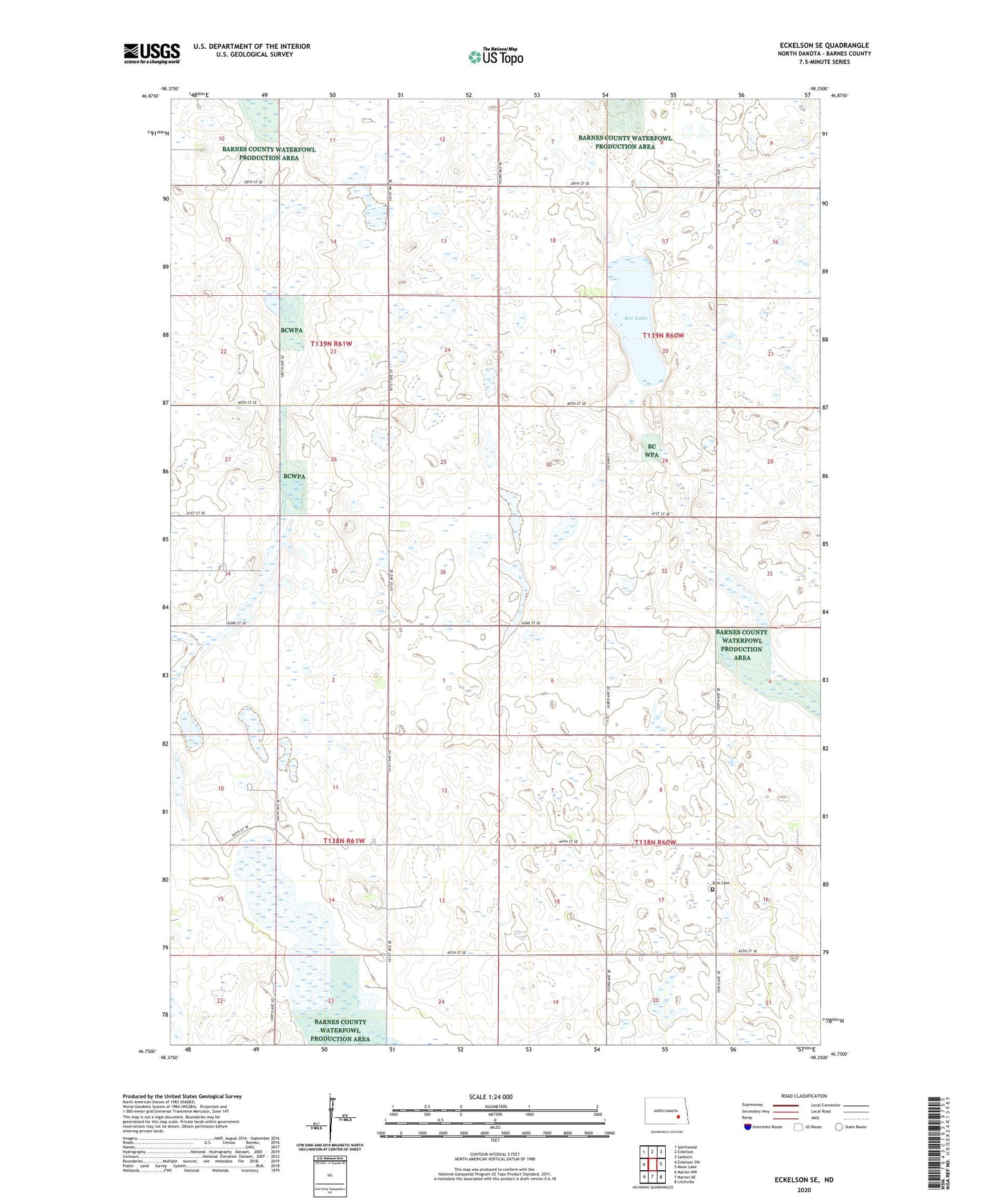
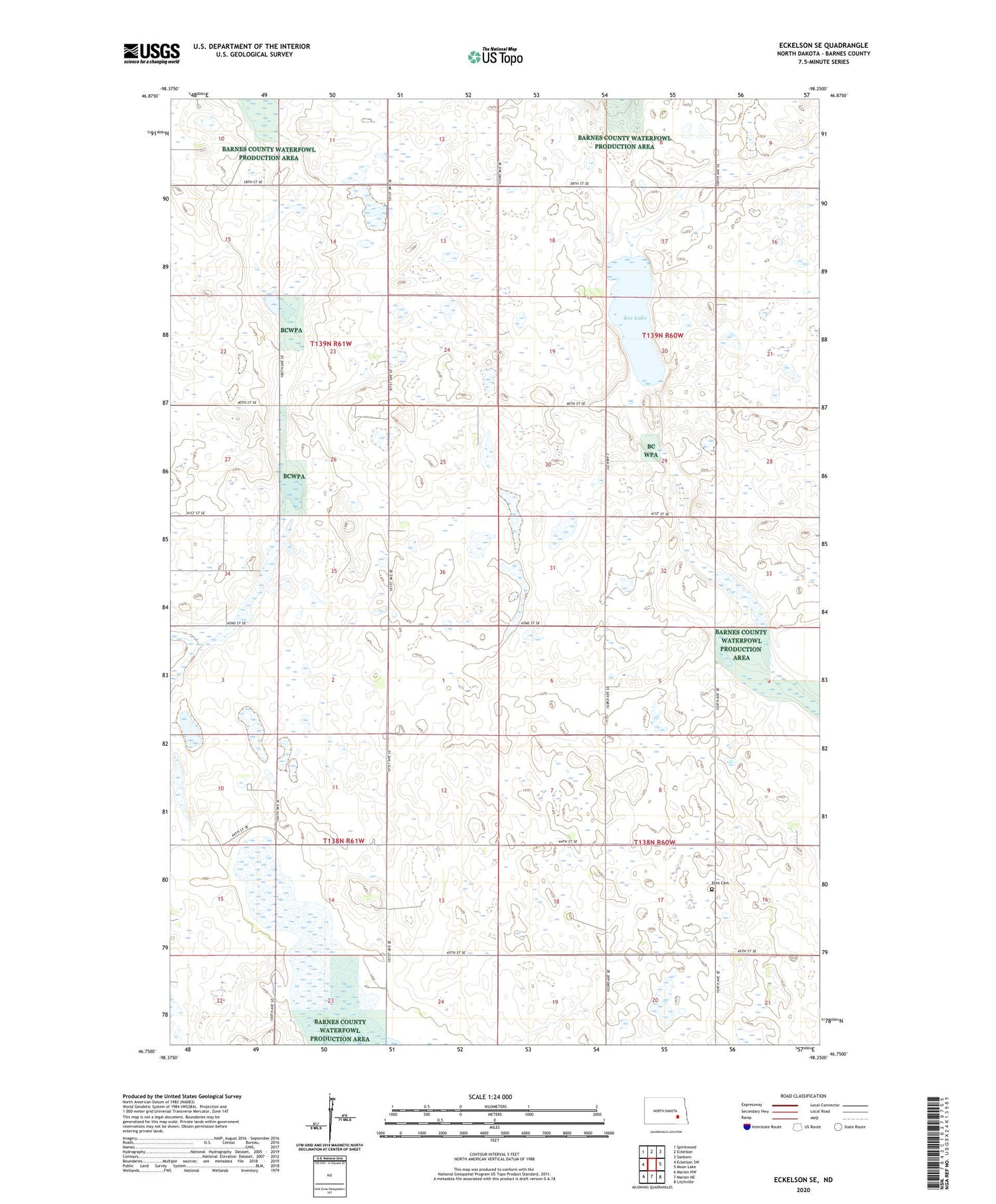
2020 topographic map quadrangle Eckelson SE in the state of North Dakota. Scale: 1:24000. Based on the newly updated USGS 7.5' US Topo map series, this map is in the following counties: Barnes. The map contains contour data, water features, and other items you are used to seeing on USGS maps, but also has updated roads and other features. This is the next generation of topographic maps. Printed on high-quality waterproof paper with UV fade-resistant inks.
Quads adjacent to this one:
West: Eckelson SW
Northwest: Spiritwood
North: Eckelson
Northeast: Sanborn
East: Moon Lake
Southeast: Litchville
South: Marion NE
Southwest: Marion NW
Contains the following named places: Clark City, Elim Cemetery, Elim Church, Kee Lake, Meadow Lake Town Hall, Saint Thomas Church, Svea Town Hall