MyTopo
Fish Creek Lake North Dakota US Topo Map
Couldn't load pickup availability
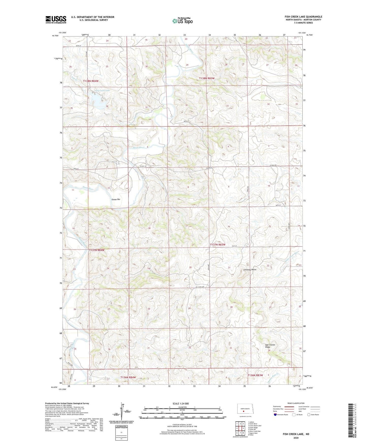
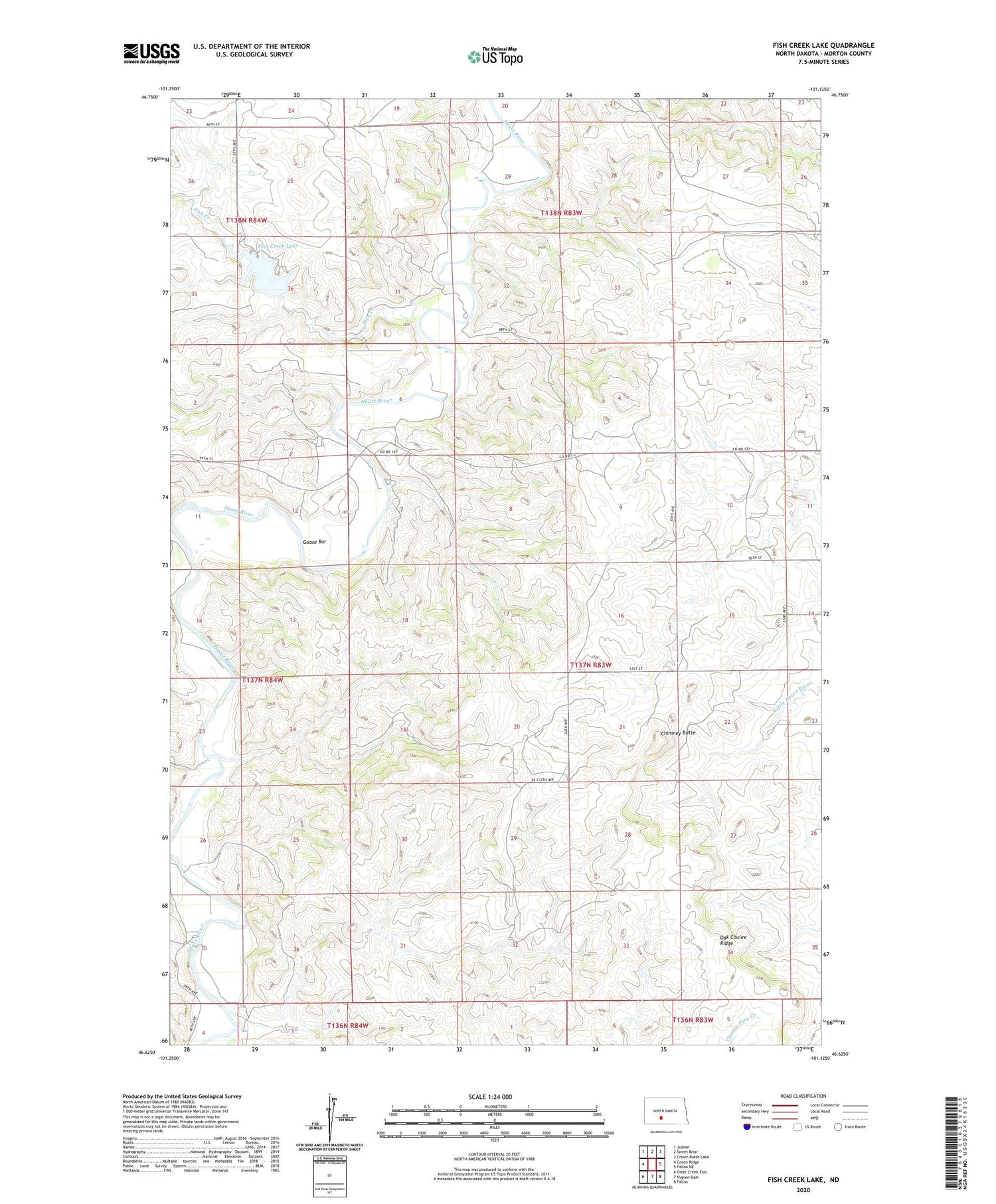
2020 topographic map quadrangle Fish Creek Lake in the state of North Dakota. Scale: 1:24000. Based on the newly updated USGS 7.5' US Topo map series, this map is in the following counties: Morton. The map contains contour data, water features, and other items you are used to seeing on USGS maps, but also has updated roads and other features. This is the next generation of topographic maps. Printed on high-quality waterproof paper with UV fade-resistant inks.
Quads adjacent to this one:
West: Green Ridge
Northwest: Judson
North: Sweet Briar
Northeast: Crown Butte Lake
East: Fallon NE
Southeast: Fallon
South: Nygren Dam
Southwest: Otter Creek East
Contains the following named places: Chimney Butte, Dawson Dam, Fish Creek, Fish Creek Dam, Fish Creek Lake, Goose Bar, Oak Coulee Ridge