MyTopo
Glenfield North Dakota US Topo Map
Couldn't load pickup availability
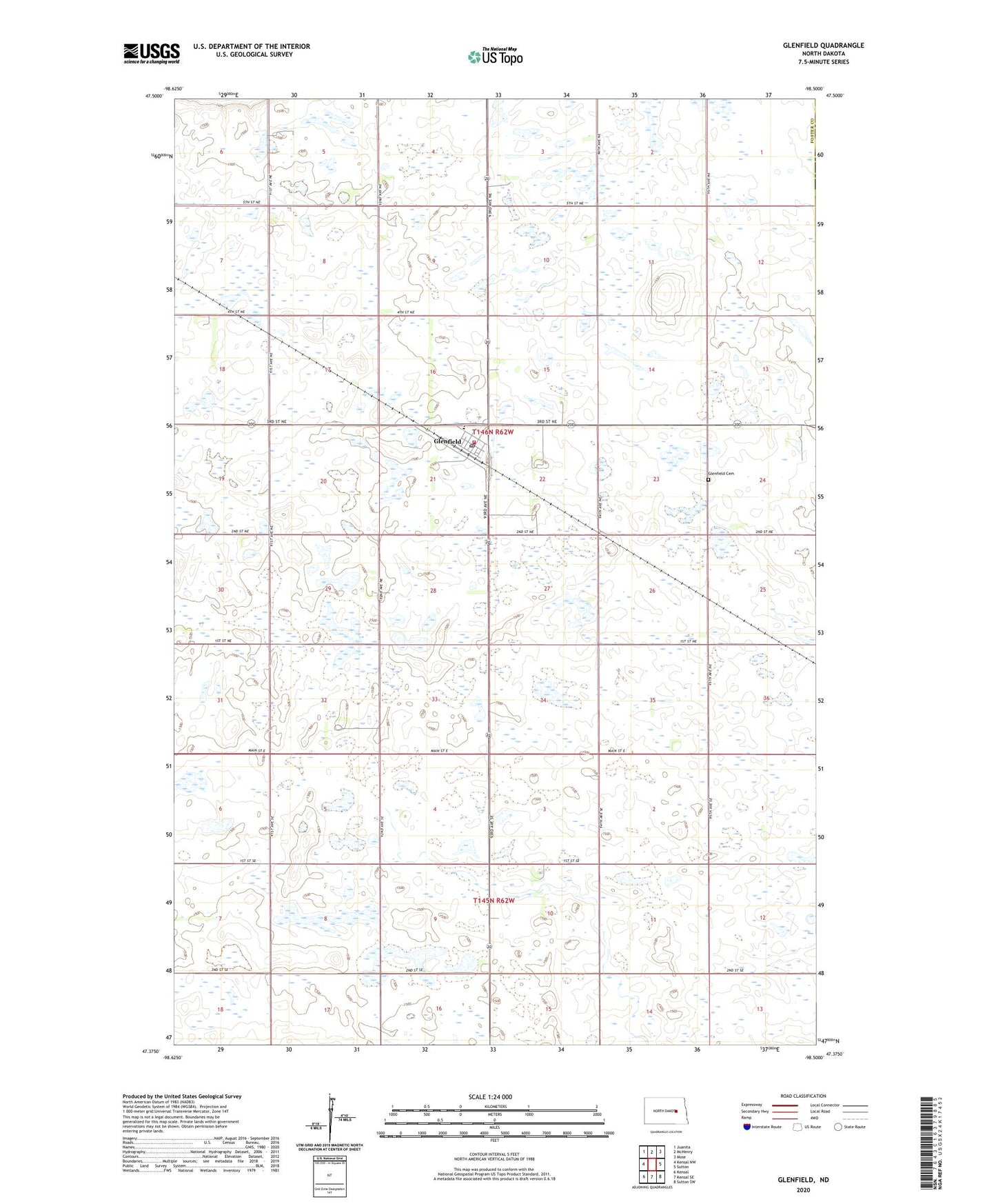
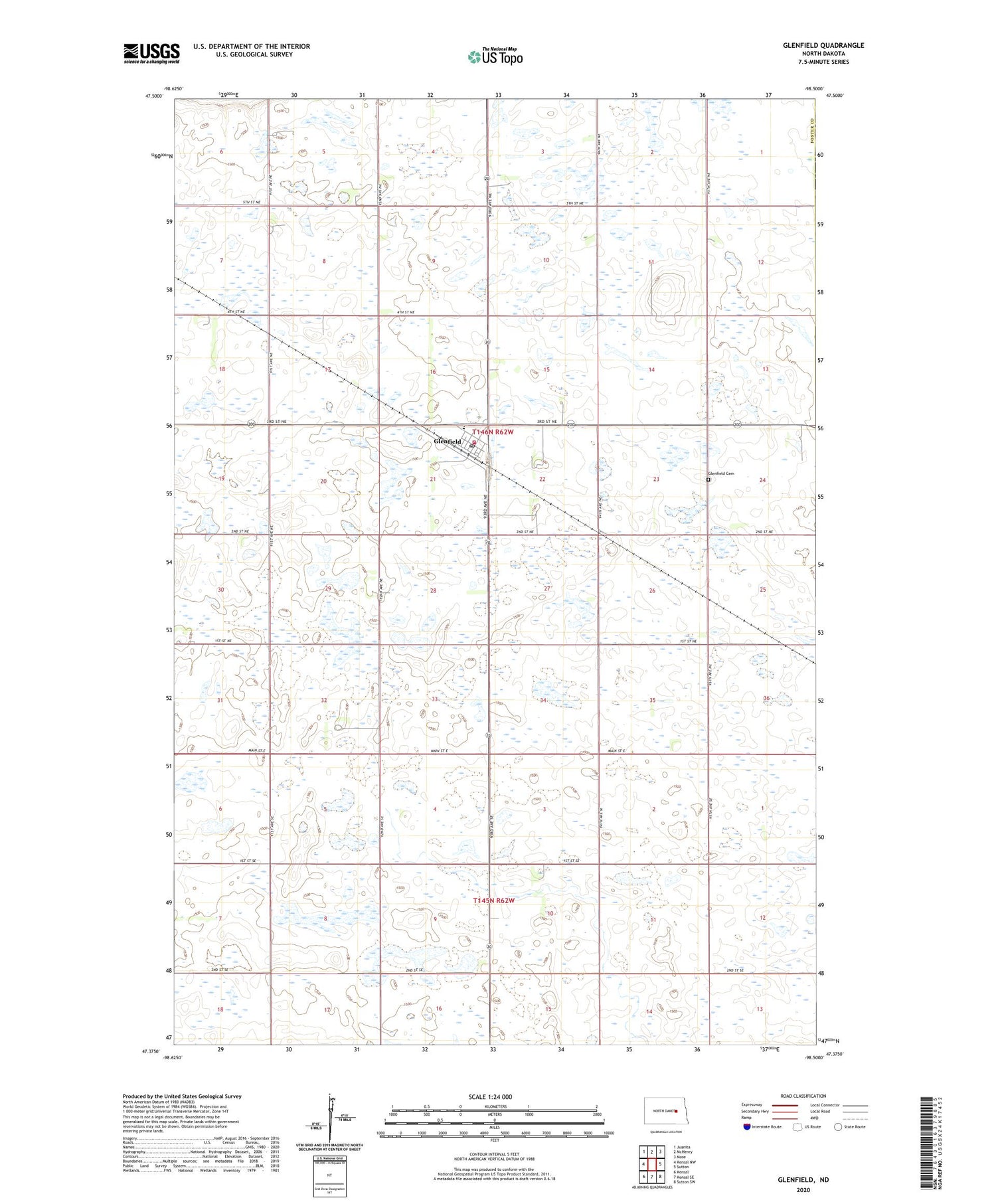
2020 topographic map quadrangle Glenfield in the state of North Dakota. Scale: 1:24000. Based on the newly updated USGS 7.5' US Topo map series, this map is in the following counties: Foster, Griggs. The map contains contour data, water features, and other items you are used to seeing on USGS maps, but also has updated roads and other features. This is the next generation of topographic maps. Printed on high-quality waterproof paper with UV fade-resistant inks.
Quads adjacent to this one:
West: Kensal NW
Northwest: Juanita
North: McHenry
Northeast: Mose
East: Sutton
Southeast: Sutton SW
South: Kensal SE
Southwest: Kensal
Contains the following named places: City of Glenfield, Glenfield, Glenfield Cemetery, Glenfield Community Center, Glenfield Fire Protection District, Glenfield Post Office, Midkota High School, School Number 1, Township of Glenfield