MyTopo
Melville North Dakota US Topo Map
Couldn't load pickup availability
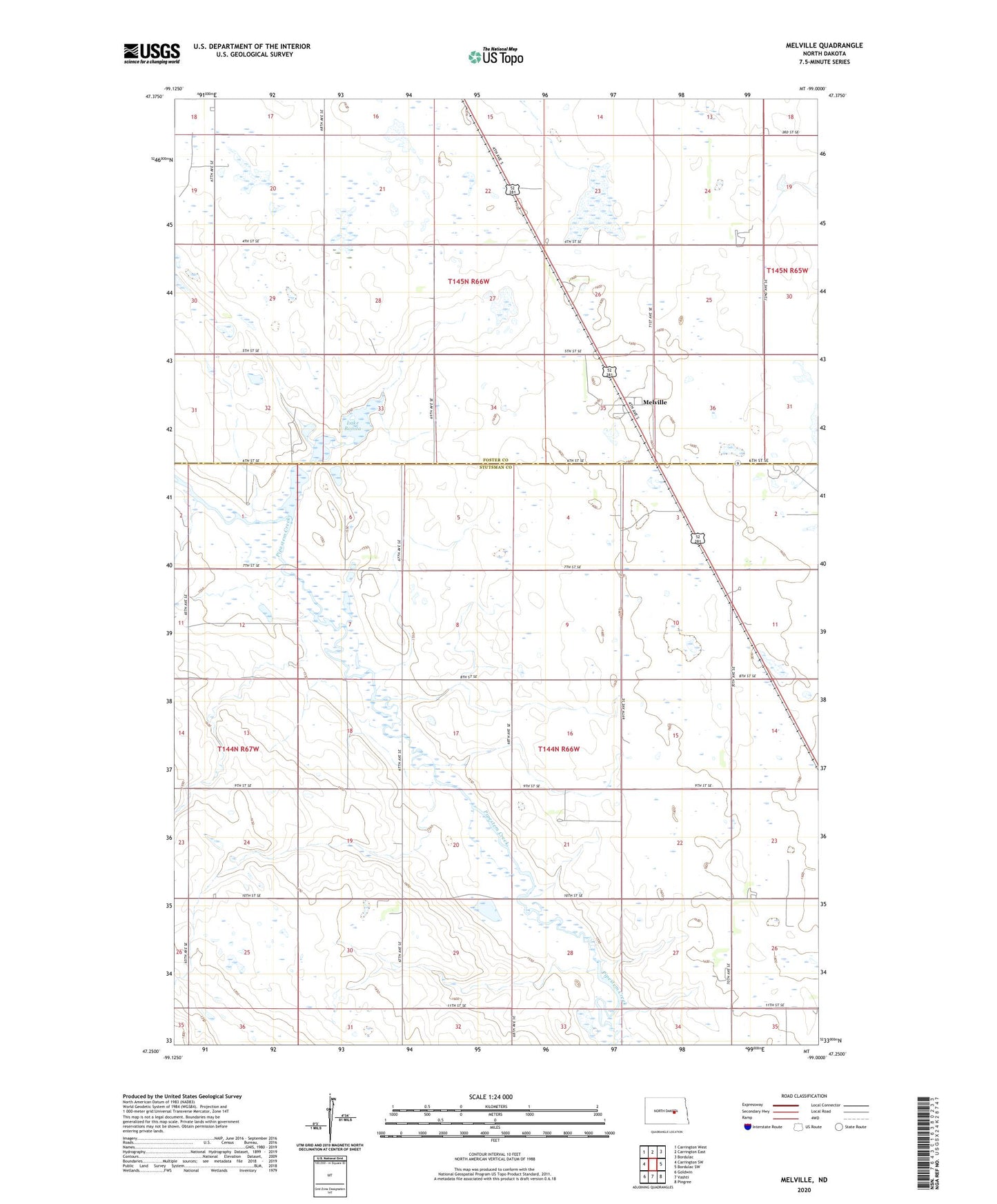
2020 topographic map quadrangle Melville in the state of North Dakota. Scale: 1:24000. Based on the newly updated USGS 7.5' US Topo map series, this map is in the following counties: Stutsman, Foster. The map contains contour data, water features, and other items you are used to seeing on USGS maps, but also has updated roads and other features. This is the next generation of topographic maps. Printed on high-quality waterproof paper with UV fade-resistant inks.
Quads adjacent to this one:
West: Carrington SW
Northwest: Carrington West
North: Carrington East
Northeast: Bordulac
East: Bordulac SW
Southeast: Pingree
South: Vashti
Southwest: Goldwin
Contains the following named places: Lake Bonita, Meliville Dam, Melville, Reimers Airport, School Number 1, School Number 2, School Number 3, School Number 4, Township of Melville, Township of Walters