MyTopo
Smoky Butte North Dakota US Topo Map
Couldn't load pickup availability
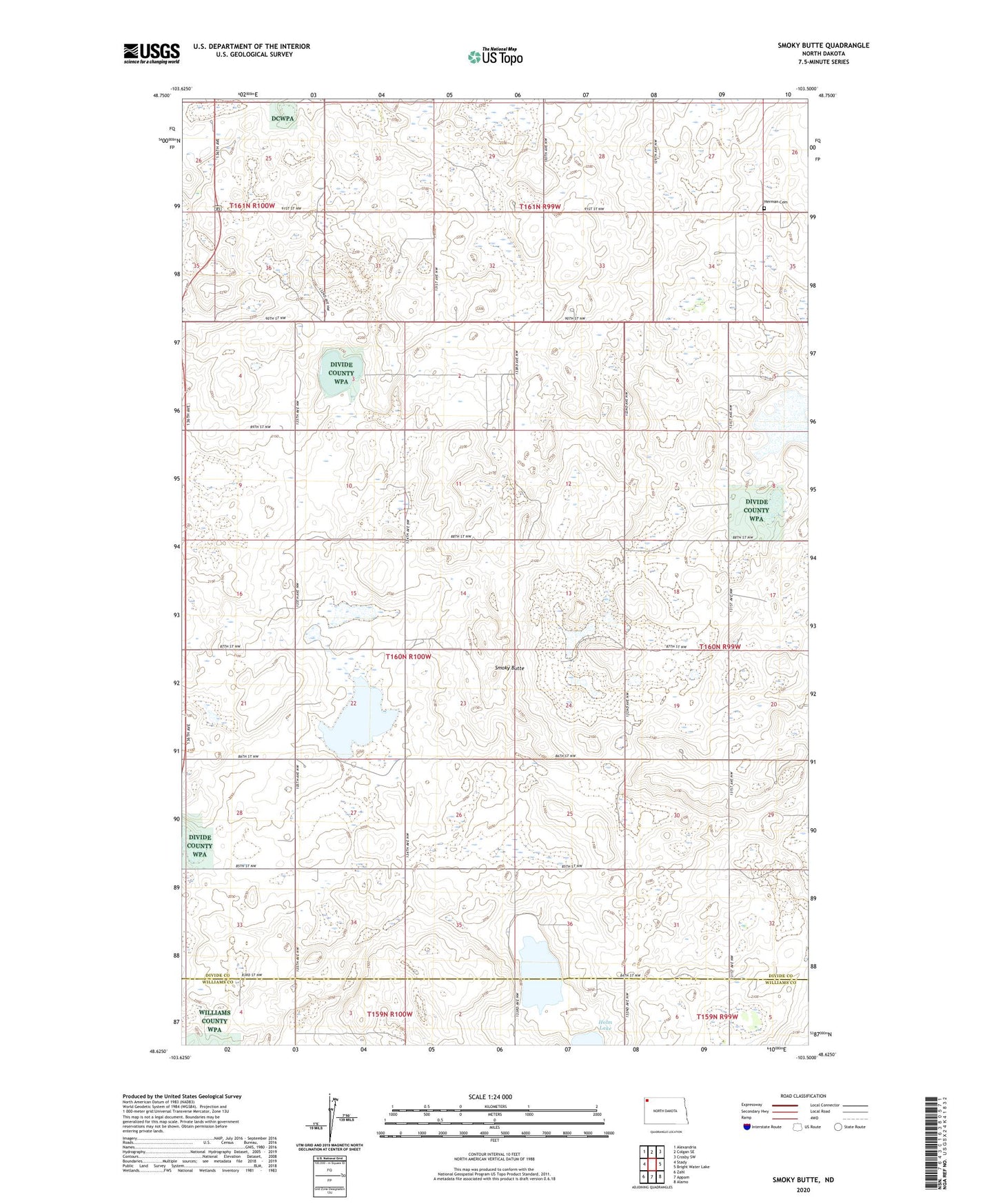
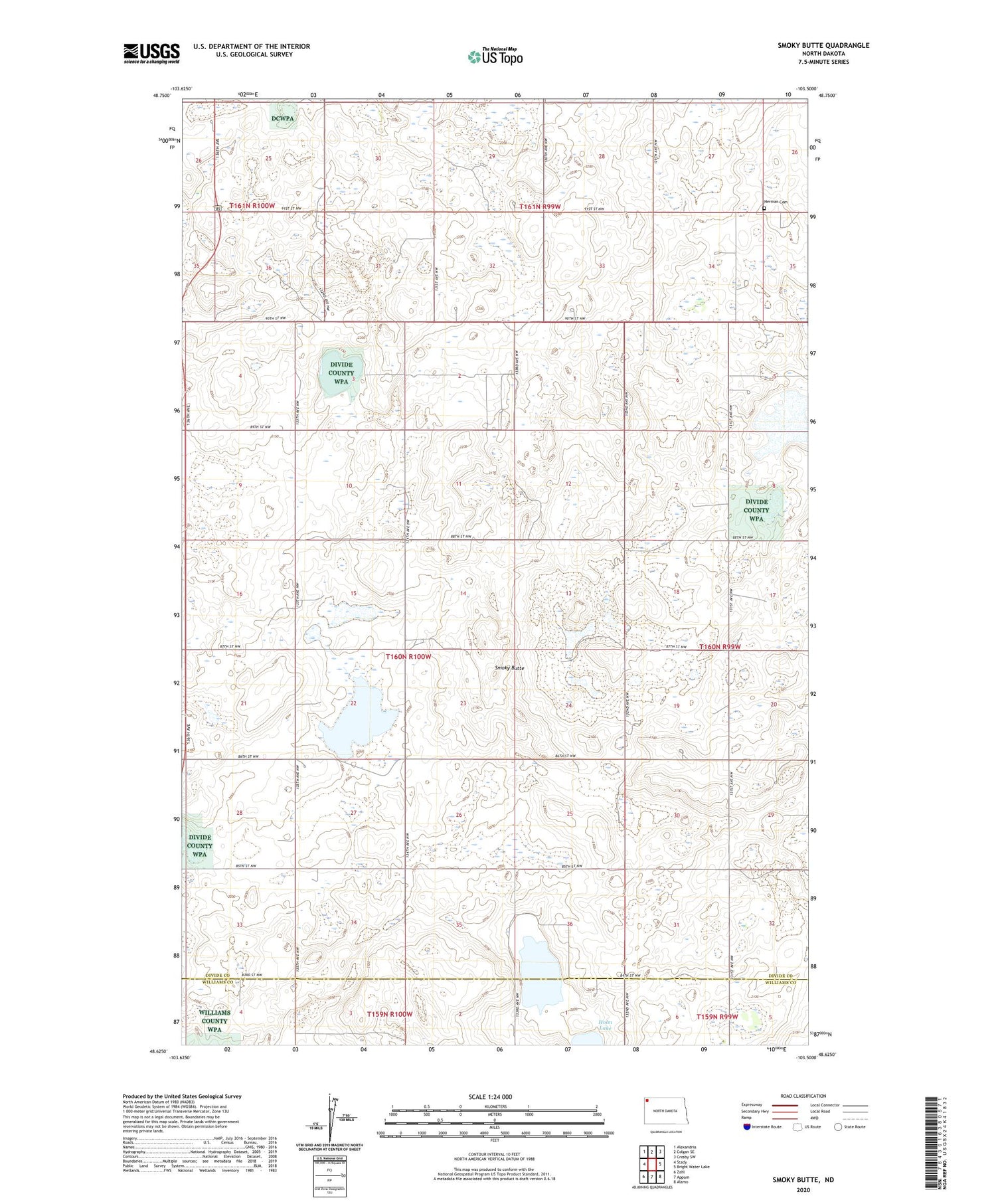
2020 topographic map quadrangle Smoky Butte in the state of North Dakota. Scale: 1:24000. Based on the newly updated USGS 7.5' US Topo map series, this map is in the following counties: Divide, Williams. The map contains contour data, water features, and other items you are used to seeing on USGS maps, but also has updated roads and other features. This is the next generation of topographic maps. Printed on high-quality waterproof paper with UV fade-resistant inks.
Quads adjacent to this one:
West: Stady
Northwest: Alexandria
North: Colgan SE
Northeast: Crosby SW
East: Bright Water Lake
Southeast: Alamo
South: Appam
Southwest: Zahl
Contains the following named places: Elmgren Number 2 School, Elmgren Number 4 School, Herman Cemetery, Musta Lake, Outlook Number 4 School, Roseville Number 2 School, Smoky Butte, Township of Smoky Butte