
MyTopo
Wimbledon North Dakota US Topo Map
Couldn't load pickup availability
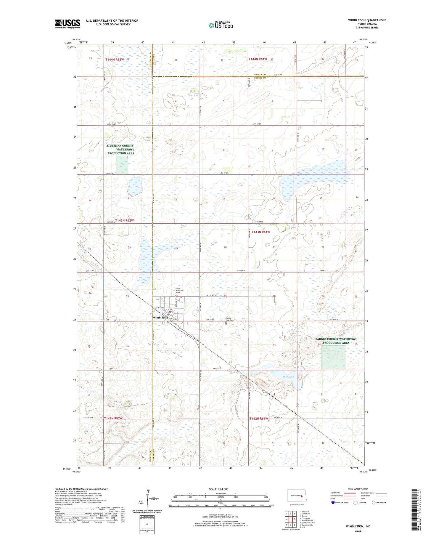
2020 topographic map quadrangle Wimbledon in the state of North Dakota. Scale: 1:24000. Based on the newly updated USGS 7.5' US Topo map series, this map is in the following counties: Barnes, Stutsman, Griggs. The map contains contour data, water features, and other items you are used to seeing on USGS maps, but also has updated roads and other features. This is the next generation of topographic maps. Printed on high-quality waterproof paper with UV fade-resistant inks.
Quads adjacent to this one:
West: Courtenay
Northwest: Kensal SE
North: Sutton SW
Northeast: Revere
East: Wimbledon NE
Southeast: Leal
South: Clementsville
Southwest: Spiritwood Lake
Contains the following named places: Barnes County North-Wimbledon/Courtenay Public School, City of Wimbledon, Midland Continental Railway Depot Museum, Mud Lake, Prairie View Cemetery, Saint Boniface Cemetery, Township of Pierce, Wimbeldon Municipal Airport, Wimbledon, Wimbledon Community Museum, Wimbledon Fire Protection District Station, Wimbledon Post Office, ZIP Code: 58492


