MyTopo
Autograph Cliff Oklahoma US Topo Map
Regular price
$16.95
Regular price
Sale price
$16.95
Unit price
per
Couldn't load pickup availability
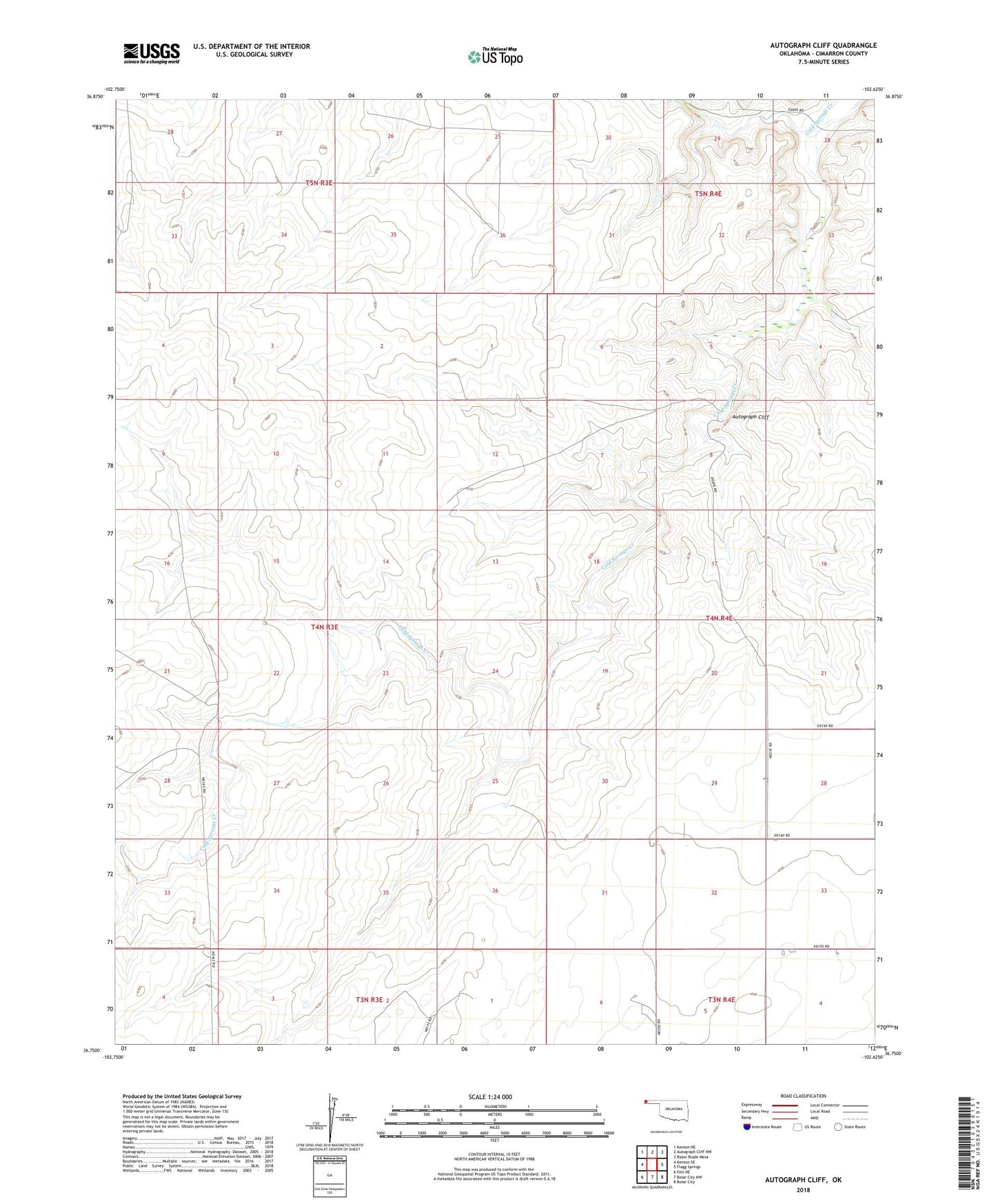
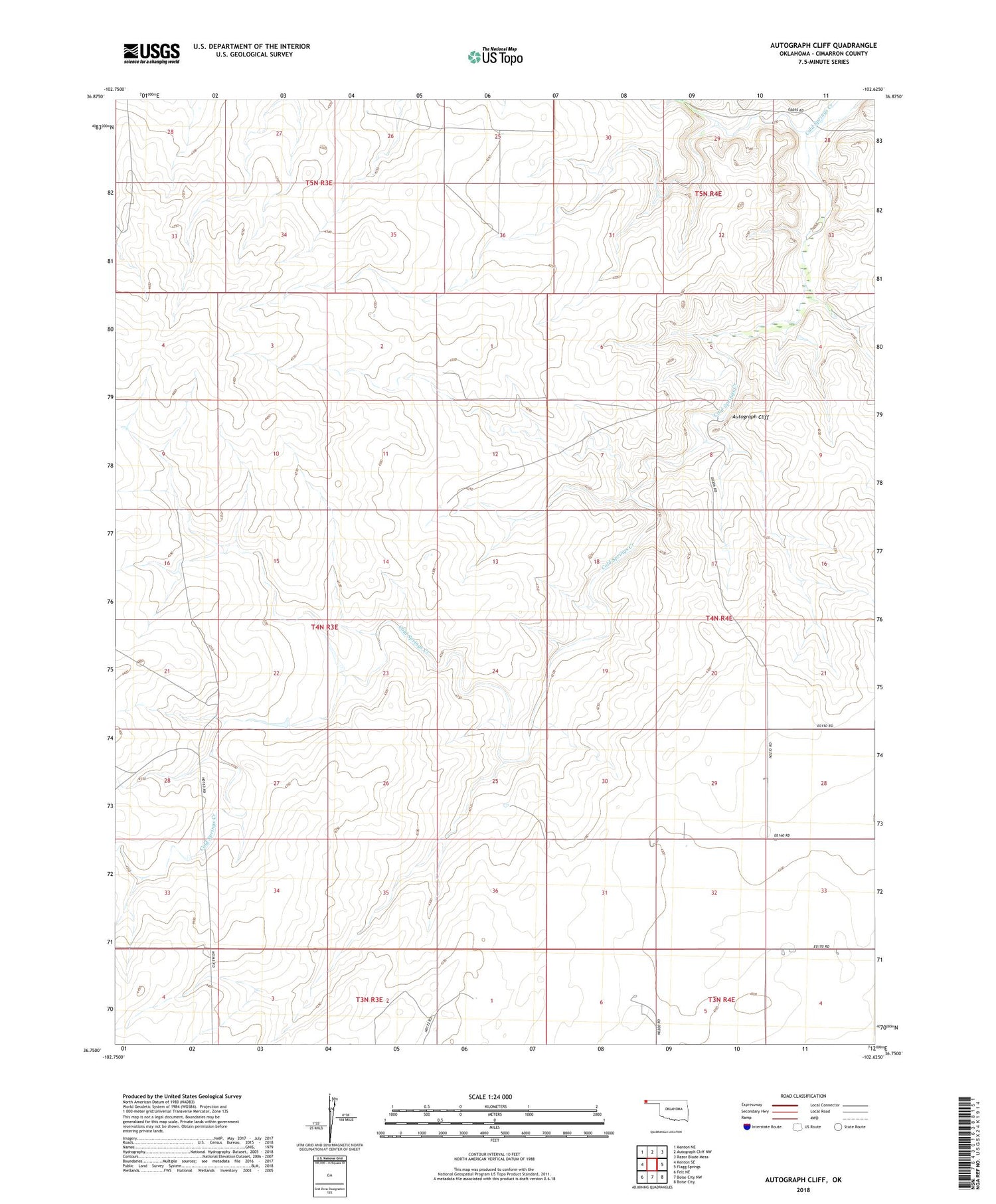
2018 topographic map quadrangle Autograph Cliff in the state of Oklahoma. Scale: 1:24000. Based on the newly updated USGS 7.5' US Topo map series, this map is in the following counties: Cimarron. The map contains contour data, water features, and other items you are used to seeing on USGS maps, but also has updated roads and other features. This is the next generation of topographic maps. Printed on high-quality waterproof paper with UV fade-resistant inks.
Quads adjacent to this one:
West: Kenton SE
Northwest: Kenton NE
North: Autograph Cliff NW
Northeast: Razor Blade Mesa
East: Flagg Springs
Southeast: Boise City
South: Boise City NW
Southwest: Felt NE
Contains the following named places: Autograph Cliff