MyTopo
Gate Oklahoma US Topo Map
Couldn't load pickup availability
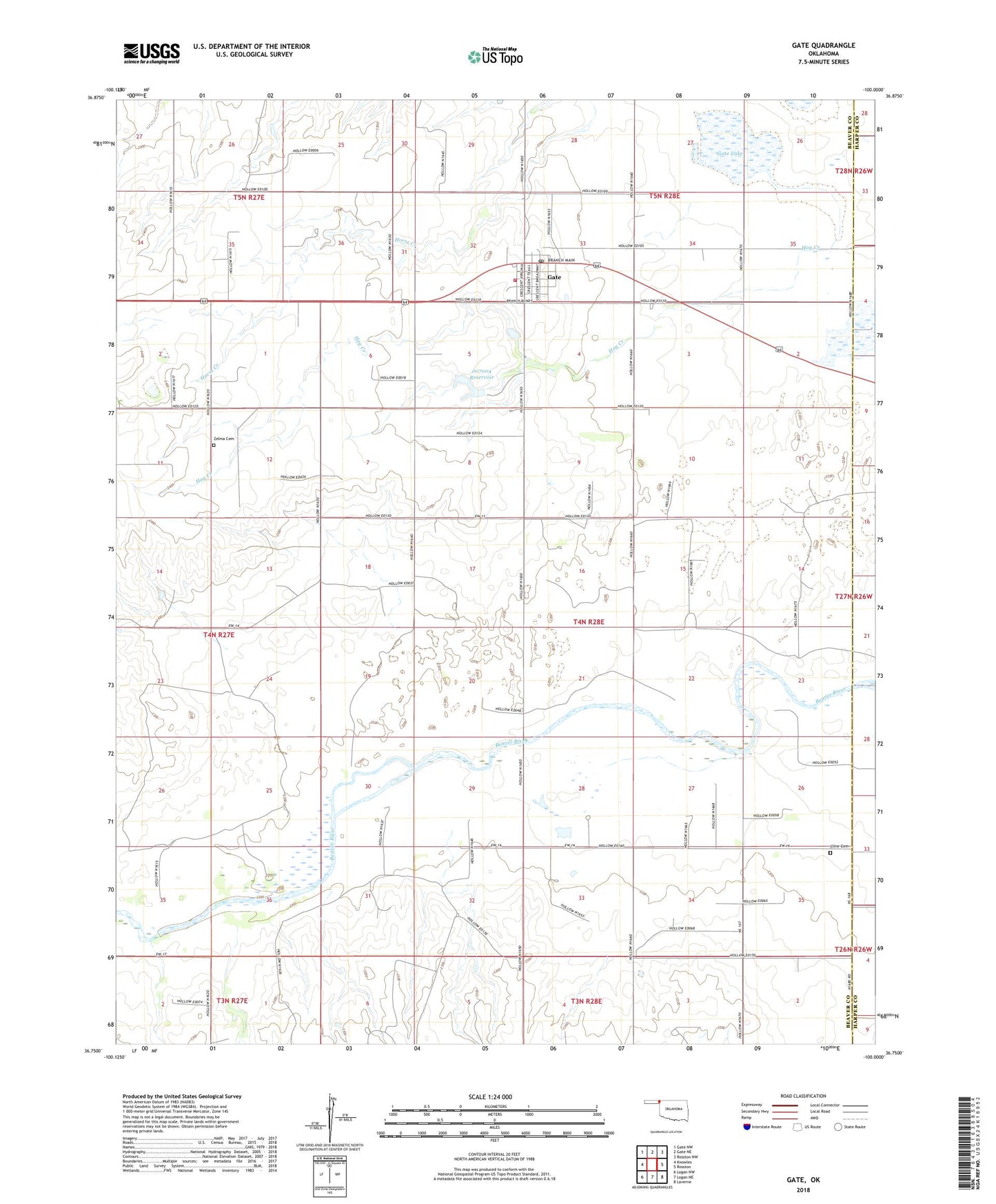
2018 topographic map quadrangle Gate in the state of Oklahoma. Scale: 1:24000. Based on the newly updated USGS 7.5' US Topo map series, this map is in the following counties: Beaver, Harper. The map contains contour data, water features, and other items you are used to seeing on USGS maps, but also has updated roads and other features. This is the next generation of topographic maps. Printed on high-quality waterproof paper with UV fade-resistant inks.
Quads adjacent to this one:
West: Knowles
Northwest: Gate NW
North: Gate NE
Northeast: Rosston NW
East: Rosston
Southeast: Laverne
South: Logan NE
Southwest: Logan NW
Contains the following named places: Cline Cemetery, Friends Church, Gate, Gate Fire Department, Gate Lake, Gate Post Office, Hog Creek, Oknoname 007004 Dam, Oknoname 007004 Reservoir, Town of Gate, Township of Gate, Zelma Cemetery