MyTopo
Griggs SW Oklahoma US Topo Map
Couldn't load pickup availability
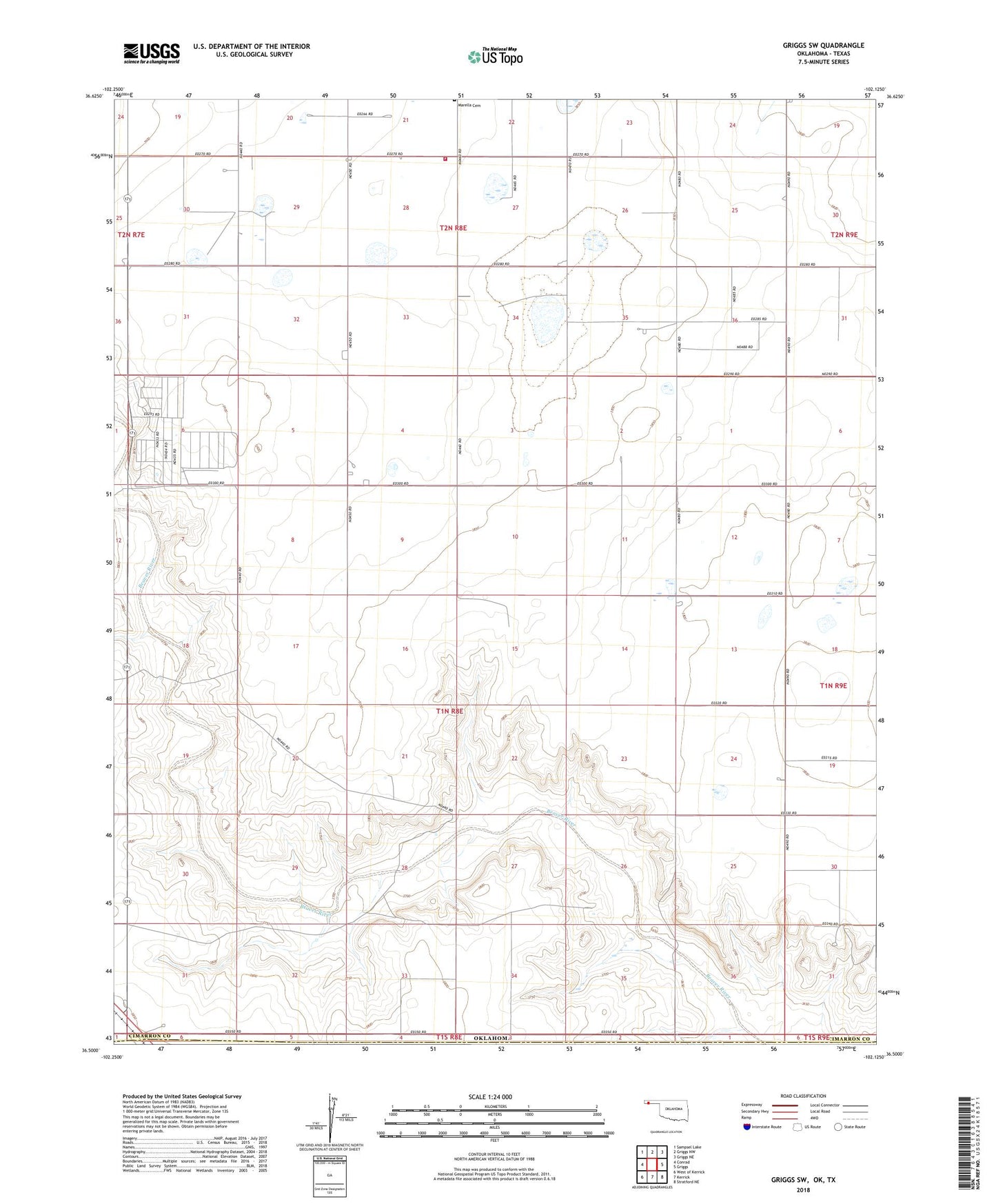
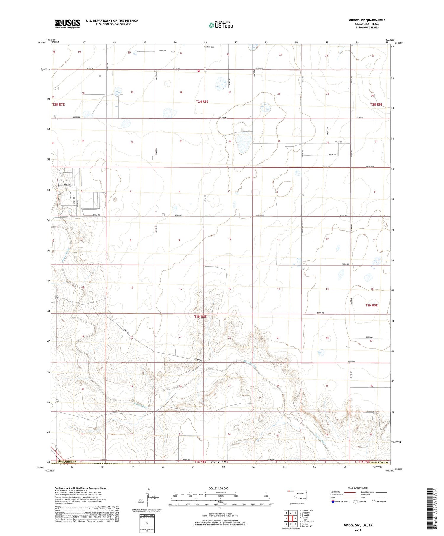
2018 topographic map quadrangle Griggs SW in the state of Oklahoma. Scale: 1:24000. Based on the newly updated USGS 7.5' US Topo map series, this map is in the following counties: Cimarron, Dallam, Sherman. The map contains contour data, water features, and other items you are used to seeing on USGS maps, but also has updated roads and other features. This is the next generation of topographic maps. Printed on high-quality waterproof paper with UV fade-resistant inks.
Quads adjacent to this one:
West: Conrad
Northwest: Sampsel Lake
North: Griggs NW
Northeast: Griggs NE
East: Griggs
Southeast: Stratford NE
South: Kerrick
Southwest: West of Kerrick
Contains the following named places: Cimarron Feeders Number 1 Dam, Cimarron Feeders Number 1 Reservoir, Griggs Rural Fire Protection Association, Plainview Public School, Plainview School, Township of Marella