MyTopo
Antelope Butte Oregon US Topo Map
Couldn't load pickup availability
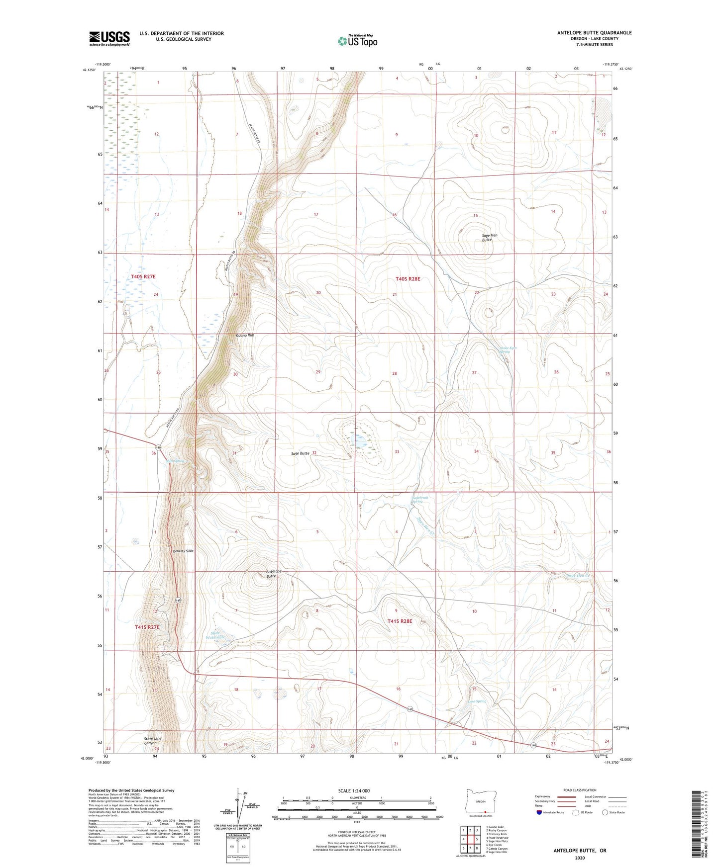
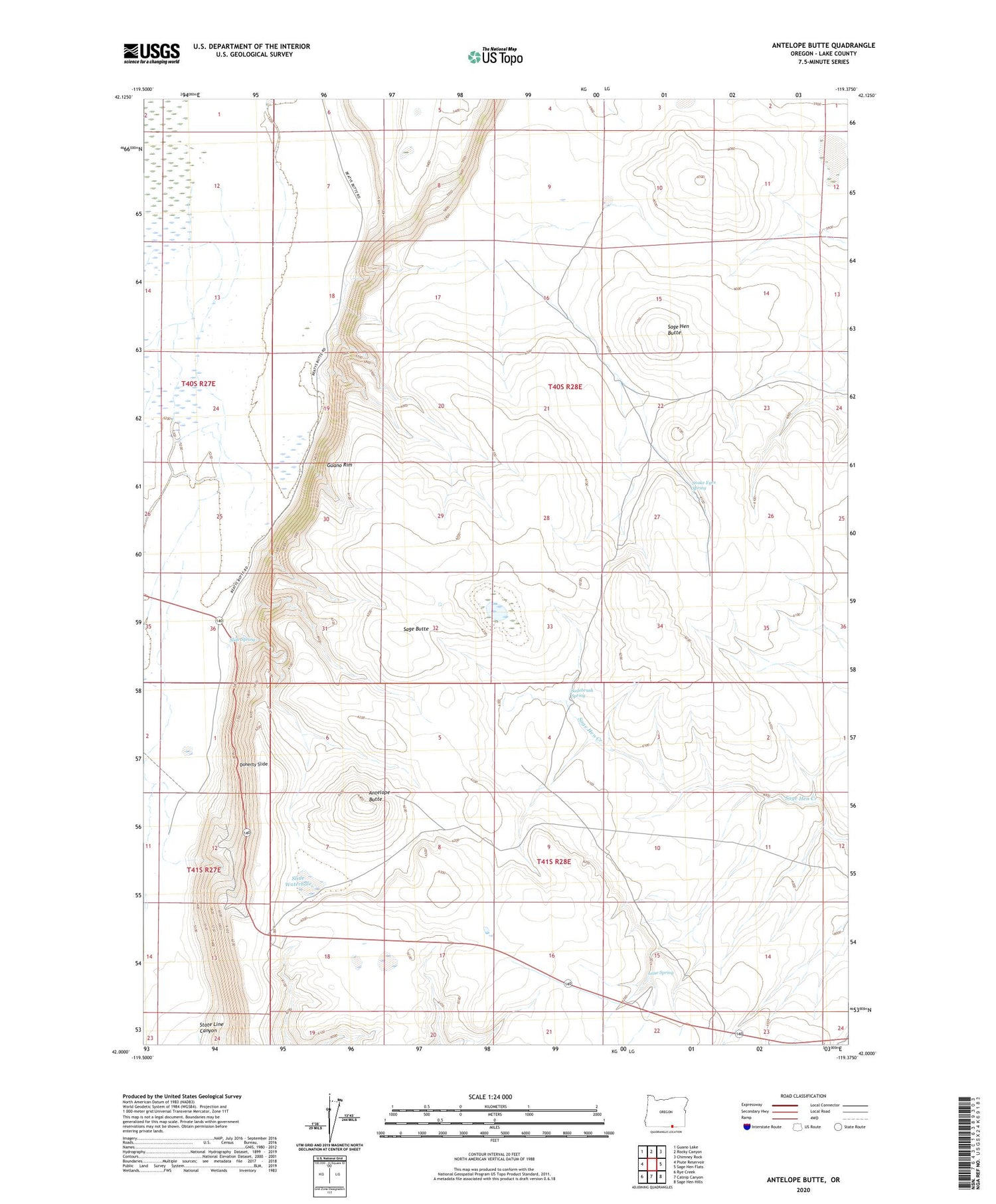
2020 topographic map quadrangle Antelope Butte in the state of Oregon. Scale: 1:24000. Based on the newly updated USGS 7.5' US Topo map series, this map is in the following counties: Lake. The map contains contour data, water features, and other items you are used to seeing on USGS maps, but also has updated roads and other features. This is the next generation of topographic maps. Printed on high-quality waterproof paper with UV fade-resistant inks.
Quads adjacent to this one:
West: Piute Reservoir
Northwest: Guano Lake
North: Rocky Canyon
Northeast: Chimney Rock
East: Sage Hen Flats
Southeast: Sage Hen Hills
South: Catnip Canyon
Southwest: Rye Creek
Contains the following named places: Antelope Butte, Doherty Slide, Guano Rim, Lane Spring, Langslet Monument Rest Area, Sage Butte, Sage Hen Butte, Sagebrush Spring, Slide Spring, Slide Waterhole, Snake Eyes Spring, State Line Canyon