
MyTopo
Blizzard Gap Oregon US Topo Map
Couldn't load pickup availability
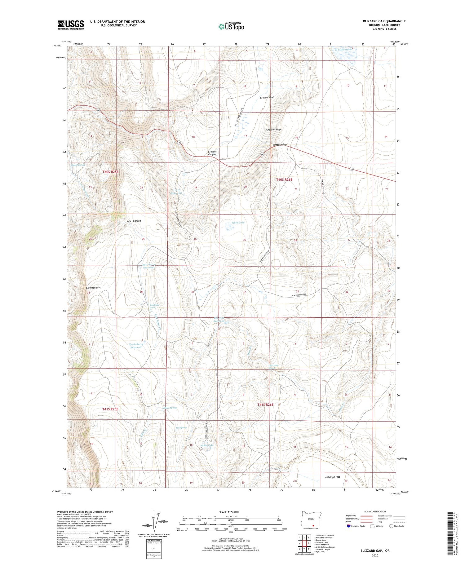
2020 topographic map quadrangle Blizzard Gap in the state of Oregon. Scale: 1:24000. Based on the newly updated USGS 7.5' US Topo map series, this map is in the following counties: Lake. The map contains contour data, water features, and other items you are used to seeing on USGS maps, but also has updated roads and other features. This is the next generation of topographic maps. Printed on high-quality waterproof paper with UV fade-resistant inks.
Quads adjacent to this one:
West: Coleman Lake
Northwest: Calderwood Reservoir
North: Mud Lake Reservoir
Northeast: Guano Lake
East: Piute Reservoir
Southeast: Rye Creek
South: Coleman Canyon
Southwest: Little Coleman Canyon
Contains the following named places: Antelope Flat, Barry Cabin, Big Hole Reservoir, Blizzard Gap, Chukar Spring, Coleman Rim, East Barry Reservoir, Greaser Basin, Greaser Ridge, Hidden Spring, Hill Camp Spring, L J H Reservoir, Moon Lake, North Barry Reservoir, Ornoname 4 Dam, Pinto Lake, Rosebriar Spring, Tim Spring


