MyTopo
Artichoke Butte SW South Dakota US Topo Map
Couldn't load pickup availability
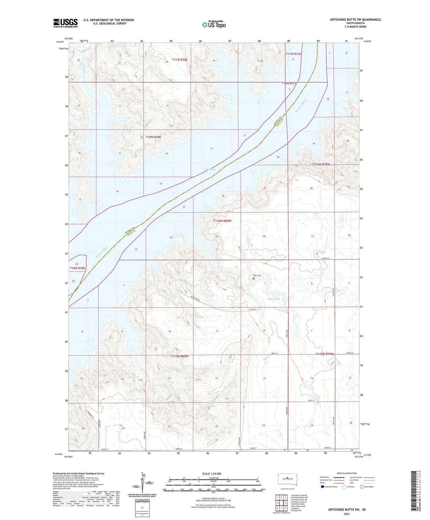
2021 topographic map quadrangle Artichoke Butte SW in the state of South Dakota. Scale: 1:24000. Based on the newly updated USGS 7.5' US Topo map series, this map is in the following counties: Sully, Dewey. The map contains contour data, water features, and other items you are used to seeing on USGS maps, but also has updated roads and other features. This is the next generation of topographic maps. Printed on high-quality waterproof paper with UV fade-resistant inks.
Quads adjacent to this one:
West: No Heart Creek SE
Northwest: No Heart Creek NE
North: Artichoke Butte NW
Northeast: Artichoke Butte NE
East: Artichoke Butte
Southeast: Okobojo NE
South: Okobojo
Southwest: Mail Shack Creek
Contains the following named places: Alberts Creek, Blair Cemetery, Bloody Run, Bull Creek, Fairbank, Fuller Lake, K Darland Dam, Pearl School, Plum Island, Stony Gulch, Township of Fairbank, West Fairbank School