MyTopo
Broken Leg Dam South Dakota US Topo Map
Couldn't load pickup availability
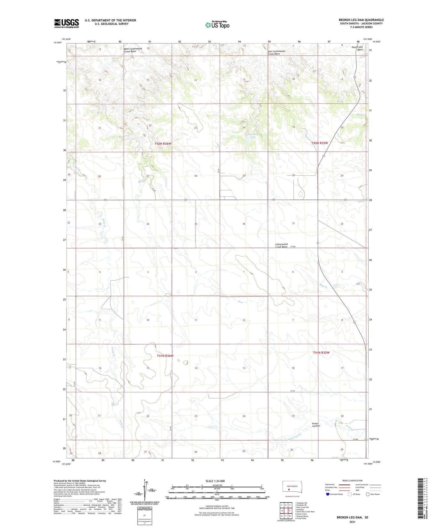
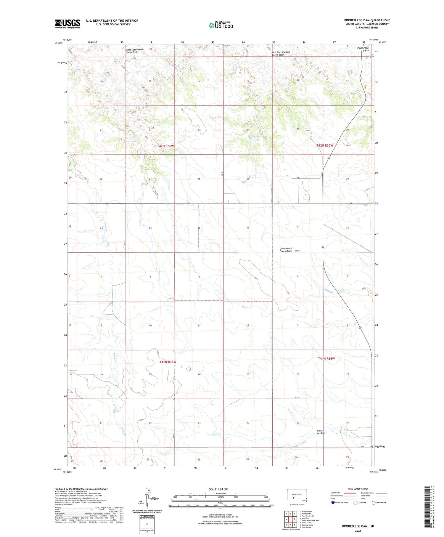
2021 topographic map quadrangle Broken Leg Dam in the state of South Dakota. Scale: 1:24000. Based on the newly updated USGS 7.5' US Topo map series, this map is in the following counties: Jackson. The map contains contour data, water features, and other items you are used to seeing on USGS maps, but also has updated roads and other features. This is the next generation of topographic maps. Printed on high-quality waterproof paper with UV fade-resistant inks.
Quads adjacent to this one:
West: Wanblee
Northwest: Wanblee NW
North: Wanblee NE
Northeast: Pass Creek NW
East: Short Bow Creek West
Southeast: Long Valley
South: Buzzard Butte
Southwest: Horse Creek
Contains the following named places: Broken Leg Dam, Cryer Dam, Eagle Nest District, East Cottonwood Creek Basin, Government Dam, Long Valley Branch Library, Longvalley Elementary School, Poor Bear Lake, West Cottonwood Creek Basin