MyTopo
Caputa SW South Dakota US Topo Map
Couldn't load pickup availability
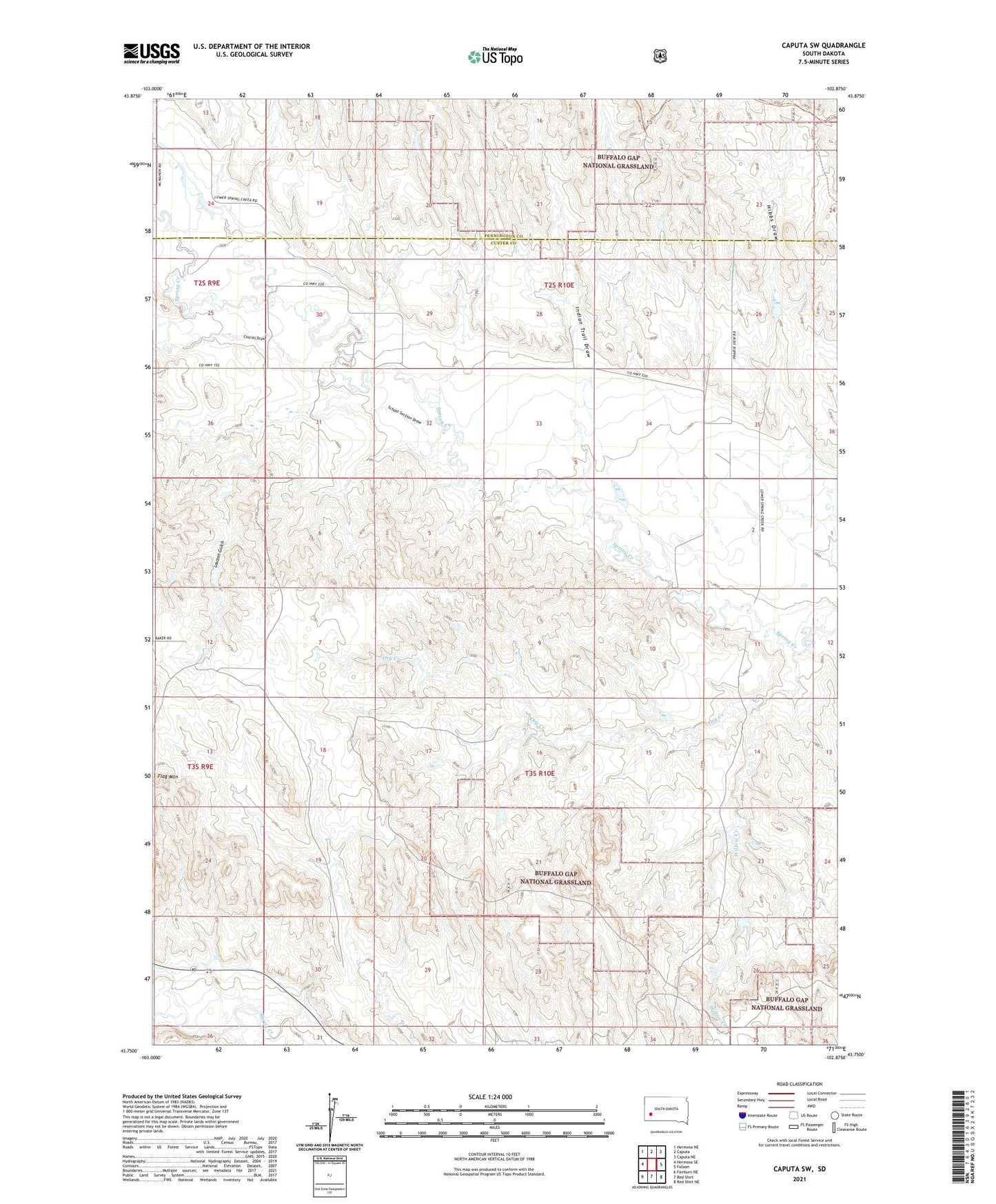
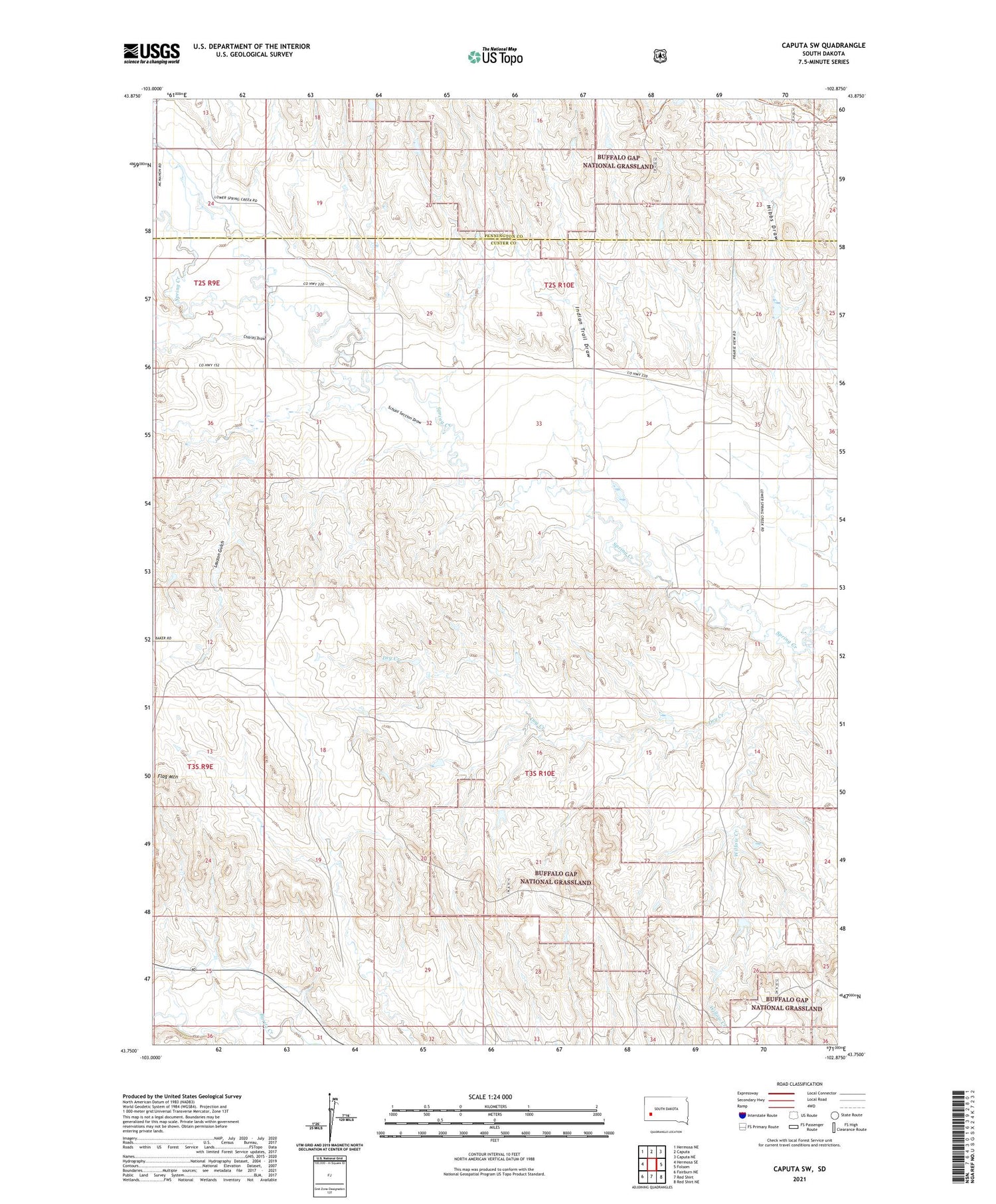
2021 topographic map quadrangle Caputa SW in the state of South Dakota. Scale: 1:24000. Based on the newly updated USGS 7.5' US Topo map series, this map is in the following counties: Custer, Pennington. The map contains contour data, water features, and other items you are used to seeing on USGS maps, but also has updated roads and other features. This is the next generation of topographic maps. Printed on high-quality waterproof paper with UV fade-resistant inks.
Quads adjacent to this one:
West: Hermosa SE
Northwest: Hermosa NE
North: Caputa
Northeast: Caputa NE
East: Folsom
Southeast: Red Shirt NE
South: Red Shirt
Southwest: Fairburn NE
Contains the following named places: C Peterson Dam, Charles Draw, Dry Creek, Evans Number 2 Dam, Flag Mountain, Folsome, Hibbs Draw, Indian Trail Draw, Kaiser Number 1 Dam, Lauzon Gulch, Lauzon Ranch, School Section Draw, Willow Creek