MyTopo
Cedar Butte NW South Dakota US Topo Map
Couldn't load pickup availability
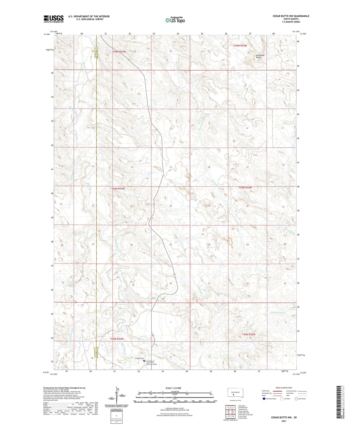
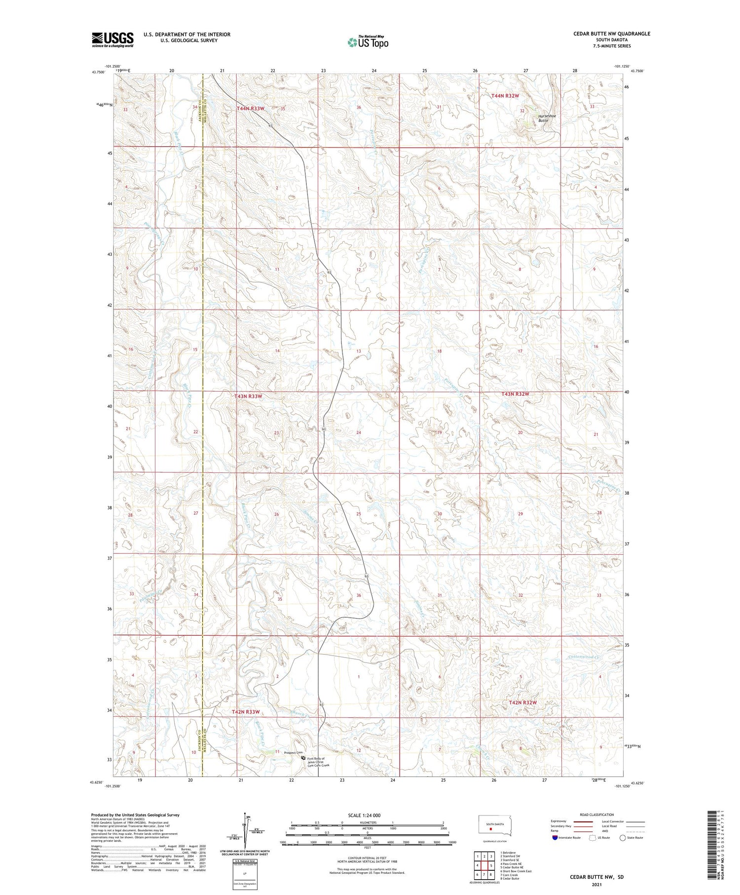
2021 topographic map quadrangle Cedar Butte NW in the state of South Dakota. Scale: 1:24000. Based on the newly updated USGS 7.5' US Topo map series, this map is in the following counties: Mellette, Jackson. The map contains contour data, water features, and other items you are used to seeing on USGS maps, but also has updated roads and other features. This is the next generation of topographic maps. Printed on high-quality waterproof paper with UV fade-resistant inks.
Quads adjacent to this one:
West: Pass Creek NE
Northwest: Belvidere
North: Stamford SW
Northeast: Stamford SE
East: Cedar Butte NE
Southeast: Cedar Butte
South: Corn Creek
Southwest: Short Bow Creek East
Contains the following named places: Braunson Ranch, Church Creek, Church Creek Church, Cottonwood Creek, First Body of Jesus Christ Cemetery Corn Creek, Horseshoe Butte, Paulmyer Creek, Pine Springs Creek, Prospect Cemetery, Simms Creek, Walker Ranch