MyTopo
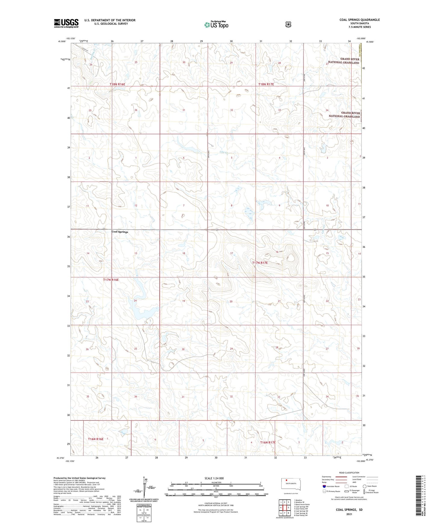
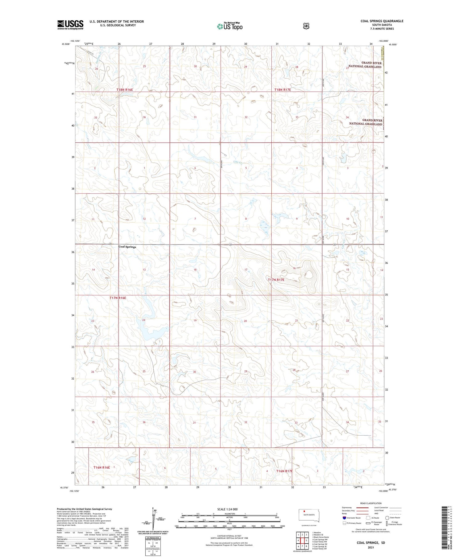
Coal Springs South Dakota US Topo Map
Couldn't load pickup availability
2021 topographic map quadrangle Coal Springs in the state of South Dakota. Scale: 1:24000. Based on the newly updated USGS 7.5' US Topo map series, this map is in the following counties: Perkins, Corson. The map contains contour data, water features, and other items you are used to seeing on USGS maps, but also has updated roads and other features. This is the next generation of topographic maps. Printed on high-quality waterproof paper with UV fade-resistant inks.
Quads adjacent to this one:
West: Coal Springs NW
Northwest: Meadow
North: Meadow SE
Northeast: Black Horse Butte
East: Glad Valley NW
Southeast: Glad Valley SW
South: Coal Springs SE
Southwest: Coal Springs SW
Contains the following named places: Coal Springs, Coal Springs Dam, Colo Springs Dam, D Dunn Dam, Dunn Airport, F Witte Dam, Indian Creek Lutheran Church, Prairie View School, Township of Easter, Unorganized Territory of Easter, ZIP Code: 57644