MyTopo
Cottonwood Creek NW South Dakota US Topo Map
Couldn't load pickup availability
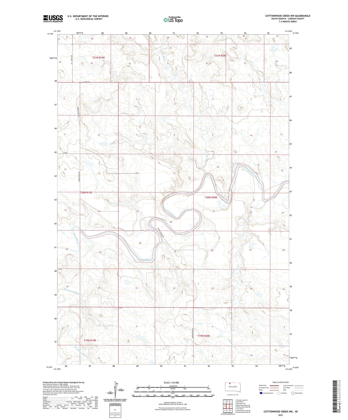
2021 topographic map quadrangle Cottonwood Creek NW in the state of South Dakota. Scale: 1:24000. Based on the newly updated USGS 7.5' US Topo map series, this map is in the following counties: Corson. The map contains contour data, water features, and other items you are used to seeing on USGS maps, but also has updated roads and other features. This is the next generation of topographic maps. Printed on high-quality waterproof paper with UV fade-resistant inks.
Quads adjacent to this one:
West: Black Horse Butte NE
Northwest: Thunder Hawk SE
North: Skull Butte
Northeast: Morristown SE
East: Cottonwood Creek NE
Southeast: Cottonwood Creek SE
South: Cottonwood Creek SW
Southwest: Twin Butte
Contains the following named places: Black Horse Butte Creek, Cedar Boy Creek, Meadow Creek, Richard Cobb Dam, Thomas Dugan Dam, Woodrow Hayes Dam