MyTopo
Ferney South Dakota US Topo Map
Couldn't load pickup availability
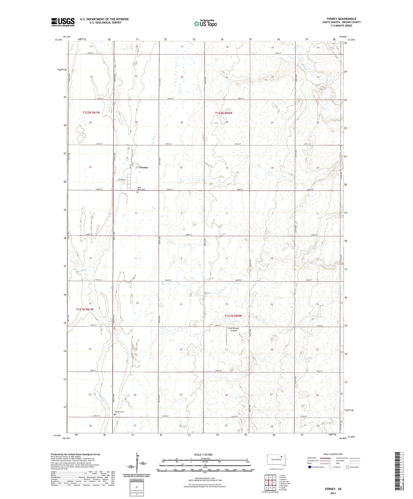
2021 topographic map quadrangle Ferney in the state of South Dakota. Scale: 1:24000. Based on the newly updated USGS 7.5' US Topo map series, this map is in the following counties: Brown. The map contains contour data, water features, and other items you are used to seeing on USGS maps, but also has updated roads and other features. This is the next generation of topographic maps. Printed on high-quality waterproof paper with UV fade-resistant inks.
Quads adjacent to this one:
West: Groton SW
Northwest: James
North: Groton
Northeast: Andover
East: Andover SW
Southeast: Crandall
South: Conde
Southwest: Randolph
Contains the following named places: Bethany Cemetery, Ferney, Ferney Census Designated Place, Ferney Post Office, Haywood School, Hite Private Airport, Pigors Dam, Prairie Pride School, Saint Pauls Cemetery, School Number 266, Township of Bates, Township of East Hanson, Township of Garden Prairie, Township of Hanson, Verdon Cemetery, ZIP Code: 57439