MyTopo
Firesteel South Dakota US Topo Map
Couldn't load pickup availability
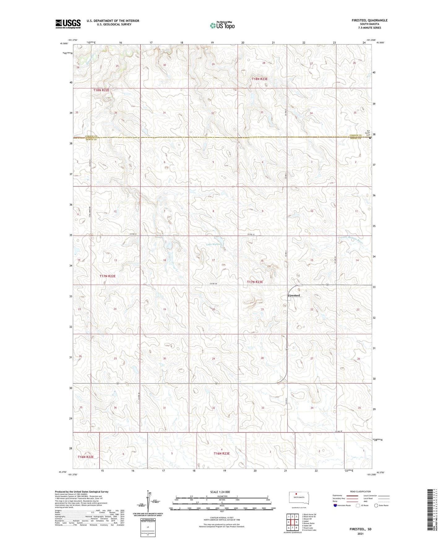
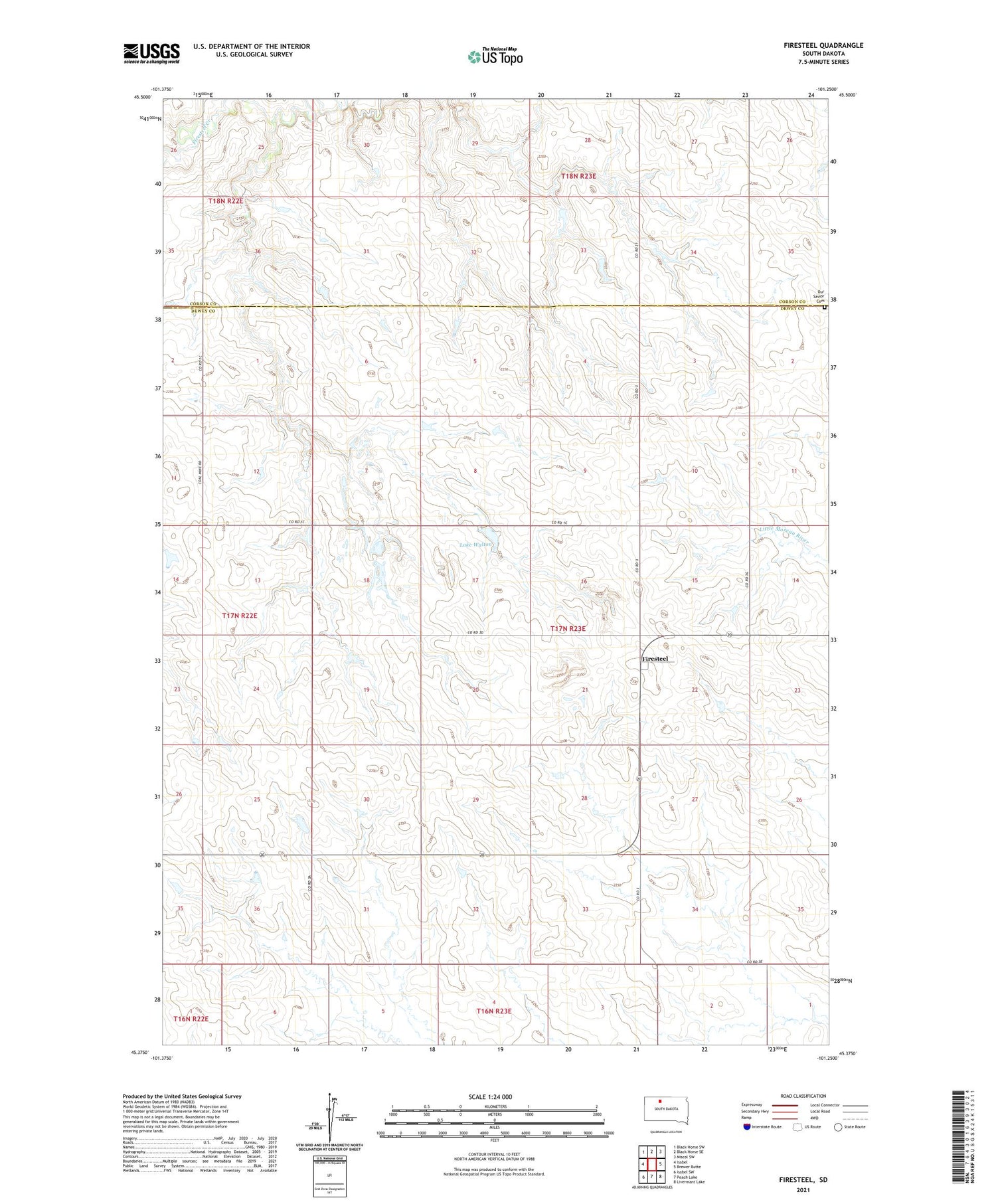
2021 topographic map quadrangle Firesteel in the state of South Dakota. Scale: 1:24000. Based on the newly updated USGS 7.5' US Topo map series, this map is in the following counties: Dewey, Corson. The map contains contour data, water features, and other items you are used to seeing on USGS maps, but also has updated roads and other features. This is the next generation of topographic maps. Printed on high-quality waterproof paper with UV fade-resistant inks.
Quads adjacent to this one:
West: Isabel
Northwest: Black Horse SW
North: Black Horse SE
Northeast: Miscol SW
East: Brewer Butte
Southeast: Livermant Lake
South: Peach Lake
Southwest: Isabel SW
Contains the following named places: Firesteel, Firesteel State Public Shooting Area, Lake Walton, Our Savior Cemetery, School Land Dam, Township of Firesteel