
MyTopo
Groton SW South Dakota US Topo Map
Couldn't load pickup availability
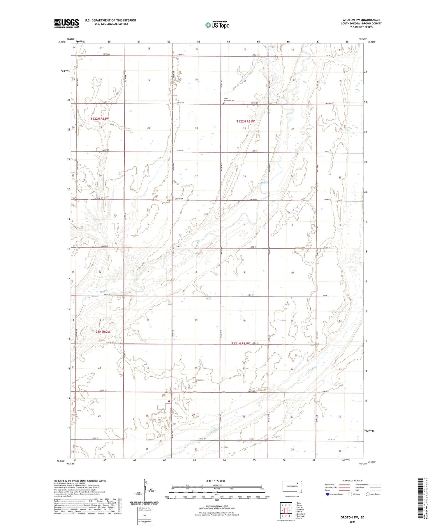
2021 topographic map quadrangle Groton SW in the state of South Dakota. Scale: 1:24000. Based on the newly updated USGS 7.5' US Topo map series, this map is in the following counties: Brown. The map contains contour data, water features, and other items you are used to seeing on USGS maps, but also has updated roads and other features. This is the next generation of topographic maps. Printed on high-quality waterproof paper with UV fade-resistant inks.
Quads adjacent to this one:
West: Stratford
Northwest: Bath
North: James
Northeast: Groton
East: Ferney
Southeast: Conde
South: Randolph
Southwest: Brentford
Contains the following named places: Dodge, Hanson School, Hutterville Colony, Hutterville Colony Census Designated Place, Hutterville Colony Elementary School, Hutterville Colony High School, Hutterville Fire Department, School Number 1, School Number 4, School Number 5, School Number 8, Township of Garden Prairie, Township of West Hanson, West Hanson Cemetery


